Bordentown in Burlington County, New Jersey — The American Northeast (Mid-Atlantic)
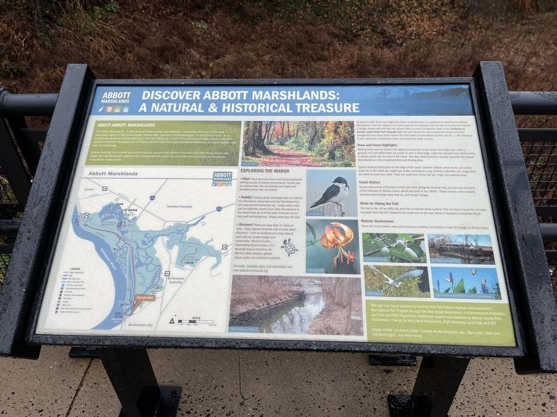
Discover Abbott Marshlands: A Natural & Historical Treasure

Photographed By Devry Becker Jones (CC0), December 16, 2022
1. Discover Abbott Marshlands: A Natural & Historical Treasure Marker
About Abbott Marshlands
The Abbott Marshlands — 3,000 acres of forests, ponds, and wetlands — exist today within one of the most populated regions of the United States. Named after naturalist and archaeologist Charles Conrad Abbott, these marshlands gained worldwide attention in the late 1800s as a result of his controversial theory about prehistoric people in America. Throughout its rich history, the land here has supported Native Americans, European settlers, and even an exiled king.
Diverse habitats, rich in plant and wildlife species, provided the plentiful resources that drew these people here. Today, the tidal wetlands that characterize this marsh are one of the most valuable, yet threatened, ecosystems in New Jersey.
NJ Transit's (NJT) River Line Light Rail station at Bordentown is a gateway to exploring the Abbott Marshlands. From the station it is a short walk to the trailhead near the foot of Farnsworth Avenue. A bridge, shared with the light rail, allows hikers to cross Crosswicks Creek to the Delaware & Raritan Canal State Park Towpath Trail. The trail follows the old abandoned section of canal through the very heart of the marsh. The trail begins at the historic Outlet Lock No. 1, the entrance to the canal from Crosswicks Creeks, and continues north 3 miles.
Flora and Fauna Highlights
Wading Birds such as herons and egrets are common in the marsh. You might also catch a glimpse of a red-tailed hawk, an osprey or even a bald eagle. Listen for Carolina and marsh wrens. In winter, ducks can be seen in the canal. The New Jersey Audubon Society classifies the Abbott Marshlands as a Very Important Bird and Birding ARea.
Typical wetland plants grow at the edge of the canal. Look for cattails, arrow arum, and yellow pond lily. In the winter you might see turtles sunning on a log. Colorful butterflies and dragonflies are likely to cross your path. Near the north end of the trail you might see pawpaw trees.
Canal History
As you walk across Crosswicks Creek and north along the towpath trail, you will see remnants of the Delaware & Raritan Canal, which was built in the 1830s. These include: mile markers, bollards where barges were tied up, and sunken barges.
Hints for Hiking the Trail
The trail is flat, of low difficulty, and has a crushed-stone surface. Plan at least 2 hours for a 6-mile roundtrip from the NJT station to the north end of the trail where it intersects Lamberton Road.
Historic Bordentown
There are many historic sites and numerous eateries and shops in town for hungry or thirsty visitors.
Erected by Federal

Photographed By Devry Becker Jones (CC0), December 16, 2022
2. Discover Abbott Marshlands: A Natural & Historical Treasure Marker
Topics. This historical marker is listed in these topic lists: Anthropology & Archaeology • Industry & Commerce • Native Americans • Natural Features • Natural Resources • Waterways & Vessels.
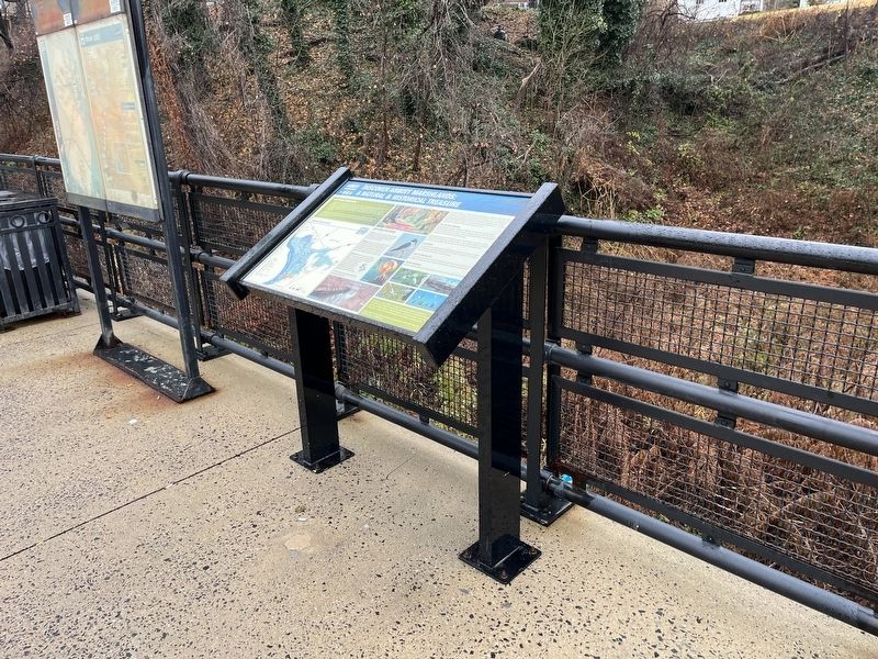
Location. 40° 8.886′ N, 74° 42.97′ W. Marker is in Bordentown, New Jersey, in Burlington County. Marker can be reached from West Park Street west of Prince Street, on the right when traveling west. The marker stands at the Bordentown Station of the New Jersey River Line Light Rail. Touch for map. Marker is at or near this postal address: 100 W Park St, Bordentown NJ 08505, United States of America. Touch for directions.
Other nearby markers. At least 8 other markers are within walking distance of this marker. The "Wye" and the Lower Bordentown Station (within shouting distance of this marker); An Early Transportation Hub (about 300 feet away, measured in a direct line); Point Breeze (about 400 feet away); The Delaware: A National Treasure (about 500 feet away); 19th Century Railroading in Bordentown (about 500 feet away); Thomas Paine Monument (about 500 feet away); British Raid on Crosswicks Creek (about 600 feet away); Wright House (about 700 feet away). Touch for a list and map of all markers in Bordentown.
Credits. This page was last revised on December 18, 2022. It was originally submitted on December 18, 2022, by Devry Becker Jones of Washington, District of Columbia. This page has been viewed 127 times since then and 33 times this year. Photos: 1, 2. submitted on December 18, 2022, by Devry Becker Jones of Washington, District of Columbia.