Williamsburg in Callaway County, Missouri — The American Midwest (Upper Plains)
Gateway to the Boone's Lick
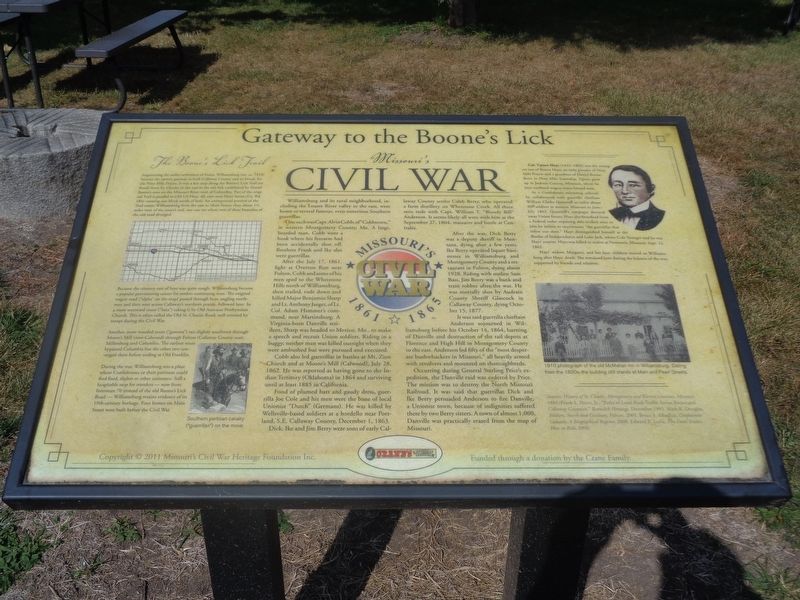
Missouri's Civil War
One such was Capt. Alvin Cobb of "Cobbstown," in western Montgomery County, Mo. A large, bearded man, Cobb wore a hook where his forearm had been accidentally shot off. Brothers Frank and Ike also were guerrillas.
After the July 17, 1861, fight at Overton Run near Fulton, Cobb and some of his men sped to the Whetstone Hills north of Williamsburg, then trailed, rode down and killed Major Benjamin Sharp and Lt. Anthony Jaeger, of Lt. Col. Adam Hammer's command, near Martinsburg. A Virginia-born Danville resident, Sharp was headed to Mexico, Mo., to make a speech and recruit Union soldiers. Riding in a buggy, neither man was killed outright when they were ambushed but were pursued and executed.
Cobb also led guerrillas in battles at Mt. Zion Church and at Moore's Mill (Calwood), July 28, 1862. He was reported as having gone to the Indian Territory (Oklahoma) in 1864 and surviving until at least 1885 in California.
Fond of plumed hats and gaudy dress, guerrilla Joe Cole and his men were the bane of the local Unionist "Dutch" (Germans). He was killed by Wellsville-based soldiers at a bordello near Portland, S.E. Callaway County, December 1, 1863.
Dick, Ike and Jim Berry were sons of early Callaway County settler Caleb Berry, who operated a farm distillery on Wherstone Creek. All three sons rode with Capt. William T. "Bloody Bill" Anderson. It seems likely all were with him at the September 27, 1864, massacre and battle at Centralia.
After the war, Dick Berry was a deputy sheriff in Montana, dying after a few years. Ike Berry operated liquor businesses in Williamsburg and Montgomery County and a restaurant in Fulton, dying about 1928. Riding with outlaw Sam Bass, Jim Berry was a bank and train robber after the war. He was mortally shot by Audrain County Sheriff Glascock in Callaway County, dying October 15, 1877.
It was said guerrilla chieftain Anderson sojourned in Williamsburg before his October 14, 1864, burning of Danville and destruction of the rail depots at Florence and High Hill in Montgomery County to the east. Anderson led fifty of the "most desperate bushwhackers in Missouri," all heavily armed with revolvers and mounted on thoroughbreds.
Occurring during General Sterling Price's expedition, the Danville raid was ordered by Price. The mission was to destroy the North Missouri Railroad. It was said that that guerrillas Dick and Ike Berry persuaded Anderson to fire Danville, a Unionist town, because of indignities suffered there by two Berry sisters. A town of almost 1,000, Danville was practically erased from the map of Missouri.
The Boone's Lick Trail
Augmenting the earlier settlement of Fruits, Williamsburg (est. ca. 1833) became the eastern gateway to both Callaway County and its broad, fertile Nine Mile Prairie. It was a key stop along the Boone's Lick Trail (or Road) from St. Charles in the east to the salt lick established by Daniel Boone's sons on the Missouri River west of Columbia. Part of the original Trail is parallel to Old US Hwy 40, east-west Main Street (Co. Rd. 184) running one block north of here. An unimproved portion of the Trail enters Williamsburg from the east to Main Street; then about 1 1/2 miles west of the street's end, one can see where two of three branches of the old road diverged.
Because the country east of here was quite rough, Williamsburg became a popular provisioning center for settlers continuing west. The original wagon road ("alpha" on the map) passed through here, angling northwest and then west across Callaway's northern prairie, followed later by a more westward route ("beta") taking it by Old Auxvasse Presbyterian Church. This is often called the Old St. Charles Road, well traveled by troops during the Civil War.
Another, more wooded route ("gamma") ran slightly southwest through Moore's Mill (now Calwood) through Fulton (Callaway County seat), Millersburg
and Columbia. The earliest route bypassed Columbia but the other two converged there before ending at Old Franklin.
During the war, Williamsburg was a place where Confederates or their partisans could find food, shelter or other assistance. Still a hospitable stop for travelers - now from Interstate 70 instead of the old Boone's Lick Road - Williamsburg retains evidence of its 19th-century heritage. Four homes on Main Street were built before the Civil War.
Col. Upton Hays (1832-1862) was the youngest son of Boone Hays, an early pioneer of Nine Mile Prairie and a grandson of Daniel Boone. Born in Nine Mile Township, Upton grew up in Jackson County, Missouri, where he later outfitted wagon trains bound west.
As a Confederate recruiting colonel, he collaborated with guerrilla chieftain William Clarke Quantrill to enlist about 300 soldiers in western Missouri in June-July 1862. Quantrill's rampages decoyed away Union forces; Hays also benefited from a Federal order requiring able-bodied men to join its militia to exterminate "the guerrillas that infest our state." Hays distinguished himself at the Battles of Independence and Lone Jack, where Cole Younger said he was Hays' courier. Hays was killed in action at Newtonia, Missouri, Sept. 12, 1862.
Hays' widow, Margaret, and her four children moved to Williamsburg after Hays' death. She remained here during the balance of the war, supported by friends and relatives.
Erected 2011 by Missouri's Civil War Heritage Foundation Inc. and the Crane family.
Topics and series. This historical marker is listed in these topic lists: Law Enforcement • Roads & Vehicles • War, US Civil. In addition, it is included in the Missouri’s Civil War series list. A significant historical date for this entry is July 17, 1861.
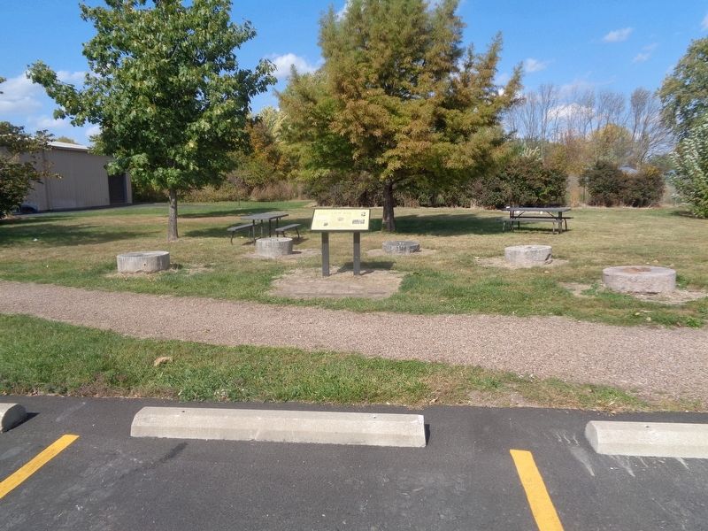
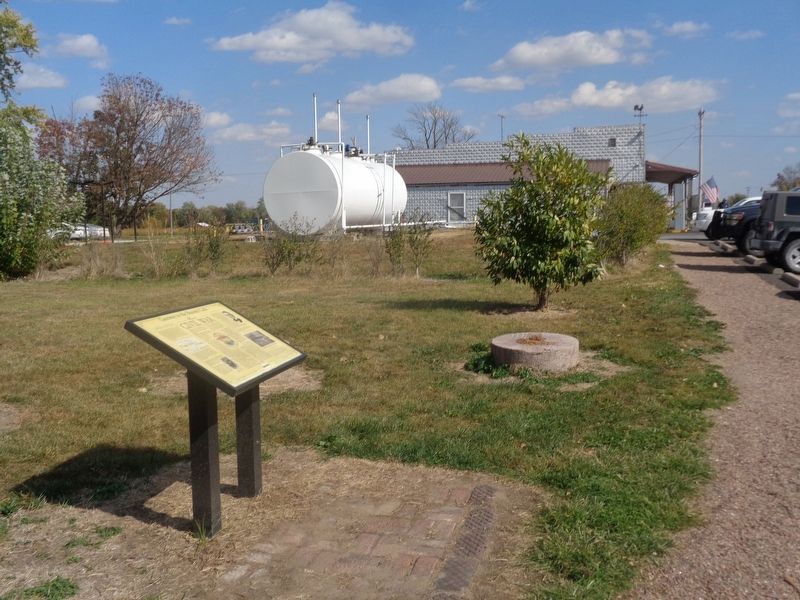
Location. 38° 55.073′ N, 91° 42.079′ W. Marker is in Williamsburg, Missouri, in Callaway County. Marker is on Old U.S. 40 west of Missouri Route D, on the right when traveling west. Marker is outside Crane's Country Store. Touch for map. Marker is at or near this postal address: 10665 Old US 40, Williamsburg MO 63388, United States of America. Touch for directions.
Other nearby markers. At least 8 other markers are within 9 miles of this marker, measured as the crow flies. Grant's Stage Stand - 1821 (approx. 3.3 miles away); Exploring the Past (approx. 6.9 miles away); Archaeology of the Cave (approx. 6.9 miles away); Jones Tan Yard - 1820 (approx. 7.4 miles away); The Battle of Moore's Mill (approx. 8 miles away); a different marker also named The Battle of Moore's Mill (approx. 8 miles away); a different marker also named The Battle of Moore's Mill (approx. 8 miles away); Old Auxvasse Cemetery (approx. 8.4 miles away).
Credits. This page was last revised on December 19, 2022. It was originally submitted on December 19, 2022, by Jason Voigt of Glen Carbon, Illinois. This page has been viewed 195 times since then and 64 times this year. Photos: 1, 2, 3. submitted on December 19, 2022, by Jason Voigt of Glen Carbon, Illinois.


