Boerne in Kendall County, Texas — The American South (West South Central)
Camino Real de San Saba (Camino Viejo) in Kendall County
Inscription.
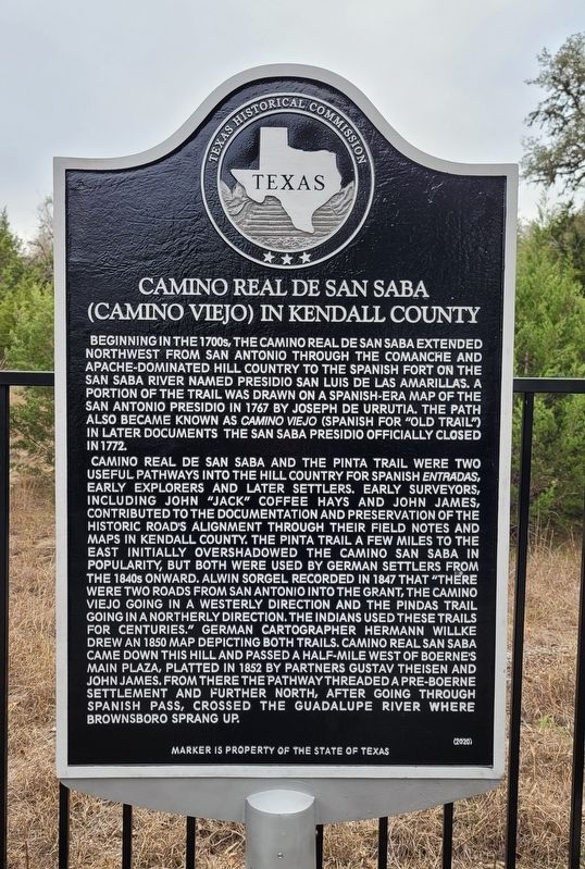
Beginning in the 1700s, the Camino Real de San Saba extended northwest from San Antonio through the Comanche and Apache - dominated Hill Country to the Spanish Fort on the San Saba River named Presidio San Luis de las Amarillas. A portion of the trail was drawn on a Spanish-era map of the San Antonio Presidio in 1767 by Joseph de Urrutia. The path also became known as Camino Viejo (Spanish for "Old Trail") in later documents the San Saba Presidio officially closed in 1772.
Camino Real de San Saba and the Pinta Trail were two useful pathways into the Hill Country for Spanish Entradas, early explorers and later settlers. Early surveyors, including John "Jack" Coffee Hays and John James, contributed to the documentation and preservation of the historic road's alignment through their field notes and maps in Kendall County. The Pinta Trail a few miles to the east initially overshadowed the Camino San Saba in popularity, but both were used by German settlers from the 1840s onward. Alwin Sorgel recorded in 1847 that "There were two roads from San Antonio into the grant, the Camino Viejo going in a westerly direction and the Pindas Trail going in a northerly direction. The Indians used these trails for centuries." German cartographer Hermann Willke drew an 1850 map depicting both trails. Camino Real San Saba came down this hill and passed a half-mile west of Boerne's Main Plaza, platted in 1852 by partners Gustav Theisen and John James. From there the pathway threaded a Pre-Boerne settlement and further north, after going through Spanish Pass, crossed the Guadalupe River where Brownsboro sprang up.
Erected 2020 by Texas Historical Commission. (Marker Number 23222.)
Topics. This historical marker is listed in these topic lists: Colonial Era • Hispanic Americans • Native Americans • Roads & Vehicles. A significant historical year for this entry is 1767.
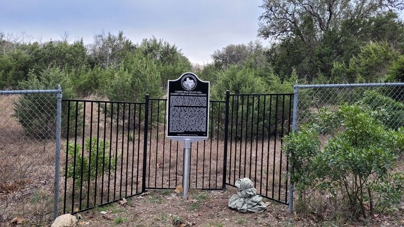
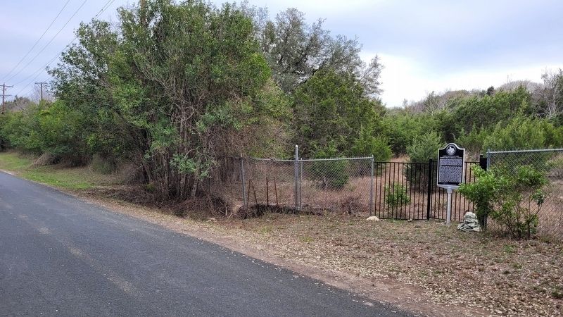
Location. 29° 47.235′ N, 98° 44.183′ W. Marker is in Boerne, Texas, in Kendall County. Marker is on West Hosack Street, 0.1 miles east of South School Street, on the right when traveling east. The marker is located on the south side of the road near the intersection. Touch for map. Marker is at or near this postal address: 623 Ogrady Street, Boerne TX 78006, United States of America. Touch for directions.
Other nearby markers. At least 8 other markers are within walking distance of this marker. St. Peter's Catholic Church (approx. 0.4 miles away); Weyrich Building (approx. 0.4 miles away); Staffel Family and the Staffel Store (approx. 0.4 miles away); Adolph Toepperwein (approx. 0.4 miles away); Fabra Smokehouse (approx. 0.4 miles away); Theis House (approx.
0.4 miles away); History of Veterans Plaza (approx. half a mile away); Ye Kendall Inn (approx. half a mile away). Touch for a list and map of all markers in Boerne.
Also see . . .
1. Pinta Trail. Texas State Historical Association (Submitted on December 24, 2022, by James Hulse of Medina, Texas.)
2. Spanish Texas. Texas State Historical Association (Submitted on December 24, 2022, by James Hulse of Medina, Texas.)
Credits. This page was last revised on December 24, 2022. It was originally submitted on December 24, 2022, by James Hulse of Medina, Texas. This page has been viewed 199 times since then and 39 times this year. Photos: 1, 2, 3. submitted on December 24, 2022, by James Hulse of Medina, Texas.


