Shakopee in Scott County, Minnesota — The American Midwest (Upper Plains)
Stagecoaches to Shakopee
Pathways of Shakopee History
| — | A self-guided tour on the development of the City of Shakopee | — |
Photographed by Cosmos Mariner, September 2, 2022
1. Stagecoaches to Shakopee Marker
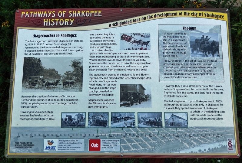
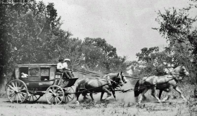
The first stagecoach arrived at Shakopee on October 6, 1853. In 1936 E. Judson Pond, at age 90, remembered the four-horse led stagecoach arriving. It stopped at the stagecoach barn which was next to the St. Paul Hotel on Fuller and Third Street.
Between the creation of Minnesota Territory in 1849 and the entrance of railroads to Shakopee in 1860, people depended upon the stagecoach for transportation. Traveling to Shakopee, stagecoaches had to deal with the road's poor condition. In 1853, one traveler Roy Johnson called the road "a succession of swamps, corduroy bridges, holes, and stumps!" Stagecoach drivers had to grease their horses' eyes, ears, and noses to prevent them from stampeding because of swarming insects. Winter blizzards would lower the horses' visibility. Sometimes, the horses had to drive the stagecoach on pure memory, and the driver would have to stop to clean the icicles from the horses' nostrils and eyes!
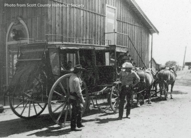
The stagecoach crossed the Indian trails and Bloomington Ferry and arrived at the Gellenbeck Stage Stop, what is now Stagecoach Road. Here, horses were changed, and the stagecoach proceeded to downtown
this page online
Stagecoaches opened the Minnesota Valley to new immigrants. However, they did so at the expense of the Dakota Indians. Stagecoaches increased traffic to the area, frightened fish and game, and disturbed the spirits of Dakota ancestors.
The last stagecoach trip to Shakopee was in 1865. Although stagecoaches were only in Shakopee for 12 years, they spread awareness of Shakopee to others in the fledgling state until railroads rendered the stagecoach routes obsolete.
Shotgun
"Shotgun" referred to the front passenger seat in a stagecoach. The passenger in that seat most often brandished a shotgun for protecting the stage-coach cargo.
Today, "shotgun" is the act of claiming the front passenger seat of a car. Since it is the most coveted spot, rules were created to ensure the shotgun seat can be acquired in a fair and equitable manner by any passenger of the car (except the driver, of course).
Erected by Pathways of Shakopee History; MVEC Operation Round-Up; and Cub Foods of Shakopee. (Marker Number 6.)
Topics. This historical marker is listed in these topic lists: Immigration • Indigenous Peoples and Communities •
Scott County Historical Society
2. Marker detail: 4-Horse Stagecoach
Location. 44° 48.072′ N, 93° 30.291′ W. Marker is in Shakopee, Minnesota, in Scott County. It can be reached from the intersection of County Road 101 (Business U.S. 169) and Sarazin Street, on the right when traveling west. Marker is located along the Pathways of Shakopee History Trail, which begins near the west end of Memorial Park. This marker is on the south side of the Highway 101 bridge. Touch for map. Marker is at or near this postal address: 1801 County Road 101, Shakopee MN 55379, United States of America. Touch for directions.

Regionally, this marker is in the Minnesota River Valley and in the Twin Cities Metropolitan Area. It is also in the American Midwest and in the Corn Belt. Globally, it is in North America, the Western Hemisphere, the Western World, and the Anglosphere. Historically, it finds itself in what was once Rupert’s Land, the territory of the Mississippian Culture, and the Louisiana Purchase.
Other nearby markers. At least 8 other markers are within walking distance of this marker: The Springs (a few steps
Scott County Historical Society
3. Marker detail: Stagecoach Stop
Related markers. Click here for a list of markers that are related to this marker. Pathways of Shakopee History Trail

4. Marker detail: Timeline Photos
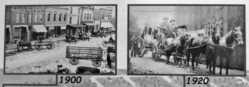
5. Marker detail: Timeline Photos
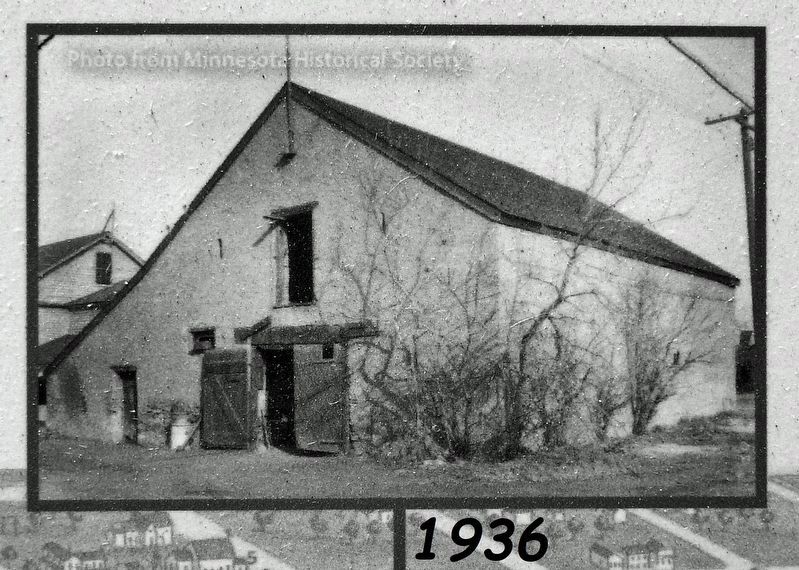
6. Marker detail: Timeline Photo
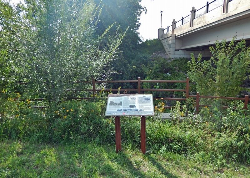
Photographed by Cosmos Mariner, September 2, 2022
7. Stagecoaches to Shakopee Marker
Credits. This page was last revised on December 30, 2022. It was originally submitted on December 28, 2022, by Cosmos Mariner of Cape Canaveral, Florida. This page has been viewed 743 times since then and 110 times this year. Photos: 1, 2, 3, 4, 5, 6, 7. submitted on December 30, 2022, by Cosmos Mariner of Cape Canaveral, Florida.
