Beaufort in Carteret County, North Carolina — The American South (South Atlantic)
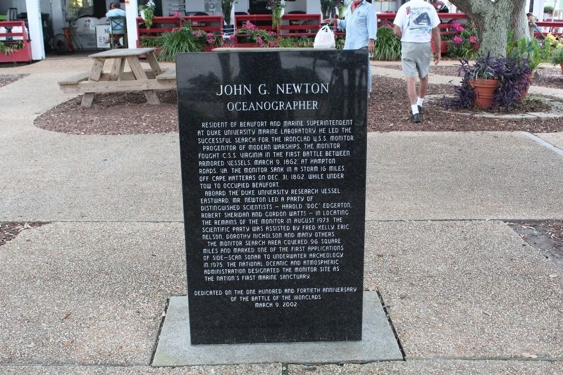
John G. Newton
Oceanographer
Resident of Beaufort and marine superintendent at Duke University Marine Laboratory, he led the successful search for the ironclad U.S.S. Monitor.
Progenitor of modern warships, the Monitor fought C.S.S. Virginia in the first battle between armored vessels, March 9, 1862, at Hampton Roads, VA. The Monitor sank in a storm 16 miles off Cape Hatteras on Dec. 31, 1862 while under tow to occupied Beaufort.
Aboard the Duke University research vessel Eastward, Mr. Newton led a party of distinguished scientists — Harold “Doc” Edgerton, Robert Sheridan and Gordan Watts — in location the remains of the Monitor in August 1973. The scientific party was assisted by Fred Kelly, Eric Nelson, Dorothy Nicholson and many others.
The Monitor search area covered 96 square miles and marked one of the first applications of side-scan sonar to underwater archeology. In 1975, the national oceanic and Atmospheric Administration designated The Monitor Site as the nation’s first marine sanctuary.
Dedicated on the one hundred and fortieth anniversary of the Battle of the Ironclads March 9, 2002.
(back)
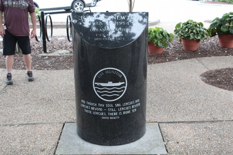
John G. Newton
1932—1984
Oceanographer
U.S.S. Monitor Discovery 1973
And though they soul sail leagues and leagues beyond — still, leagues beyond those leagues, there is more sea. Dante Rosetti
Topics. This historical marker is listed in these topic lists: Anthropology & Archaeology • War, US Civil • Waterways & Vessels. A significant historical date for this entry is March 9, 1862.
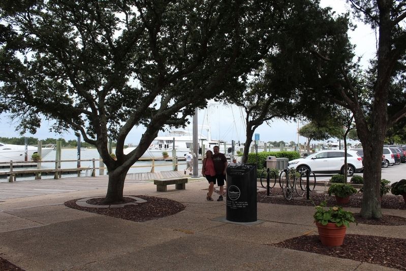
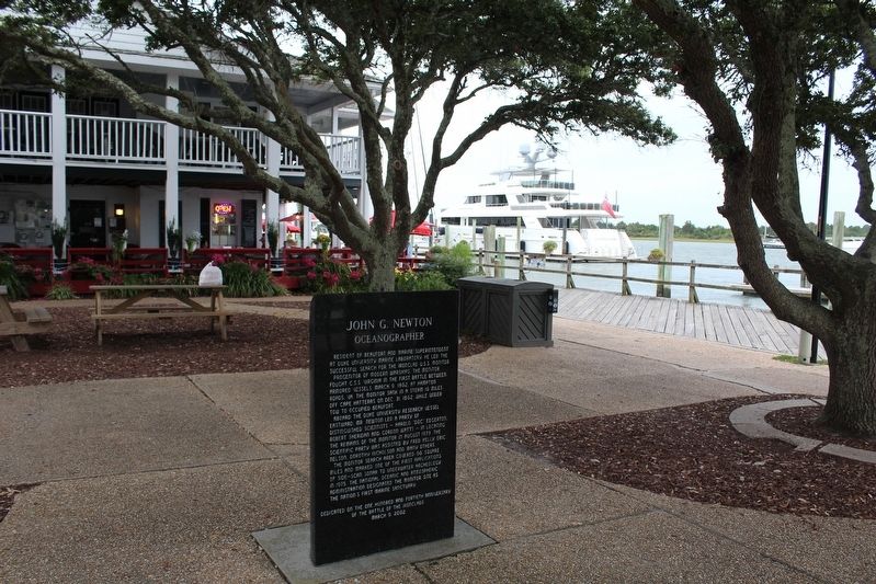
Location. 34° 42.979′ N, 76° 39.899′ W. Marker is in Beaufort, North Carolina, in Carteret County. Marker is at the intersection of Front Street and Craven Street, on the left when traveling west on Front Street. Touch for map. Marker is at or near this postal address: 500 Front Street, Beaufort NC 28516, United States of America. Touch for directions.
Other nearby markers. At least 8 other markers are within walking distance of this marker. Michael John Smith (within shouting distance of this marker); Beaufort (about 500 feet away, measured in a direct line); USS Monitor: America's First Ironclad (about 600 feet away); Old Burying Ground (about 700 feet away); Remembering our Ancestors (approx. 0.2 miles away); Jacob Henry (approx. 0.2 miles away); Dividing Line Between Old & New Town (approx. 0.2 miles away); Cape Lookout Lighthouse (approx. 0.2 miles away). Touch for a list and map of all markers in Beaufort.
Credits. This page was last revised on December 31, 2022. It was originally submitted on December 29, 2022, by Tom Bosse of Jefferson City, Tennessee. This page has been viewed 189 times since then and 33 times this year. Photos: 1, 2, 3, 4. submitted on December 29, 2022, by Tom Bosse of Jefferson City, Tennessee. • Bernard Fisher was the editor who published this page.


