Beaufort in Carteret County, North Carolina — The American South (South Atlantic)
USS Monitor: America's First Ironclad
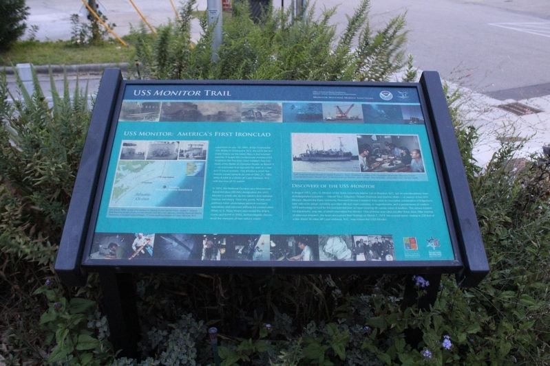
USS Monitor Trail
— Monitor National Marine Sanctuary —
In 1975, the National Oceanic and Atmospheric Administration (NOAA) designated the USS Monitor’s wreck site as the nation’s first national marine sanctuary. Over the years, NOAA and partners have undertaken several recovery operations and retrieved artifacts for conservation. When U.S. Navy divers recovered the ship’s iconic gun turret in 2002, archaeologists discovered the remains of two sailors inside.
Discovery of the USS Monitor In August 1973, John G. Newton of the Duke University Marine Lab in Beaufort, N.C., led an interdisciplinary team of distinguished scientists — Harold “Doc” Edgerton, Robert Sheridan and Gordon Watts — in search of the USS Monitor. Aboard the Duke University Research Vessel Eastward, they used an innovative combination of Edgerton’s new side-scan sonar, remotely operated still and video cameras, a magnetometer, and a predecessor of modern GPS technology to hunt for the lost ironclad over an area covering 96 square miles of seafloor. The survey located 22 shipwrecks, only two of which resembled the Monitor. One of these was ruled out after three days. After months of intensive research, the team announced their findings on March 7, 1974: the second wreck, resting in 230 feet of water about 16 miles off Cape Hatteras, N.C., was indeed the USS Monitor. (captions)
On July 9, 1862, as the ship docked in Virginia on the James River, James F. Gibson took the only known photos of the Monitor and her crew (above). Monitor National Marine Sanctuary is located approximately 16 miles south-southeast of Cape Hatteras, N.C.
Left: Duke University Research Vessel Eastward. Right: Scientists in galley of R/V Eastward aboard the discovery cruise (counterclockwise): Harold "Doc" Edgerton, Cathryn Newton, John Newton, Bob Sheridan, unidentified men, Gordon Watts.
Erected by Office of National Marine Sanctuaries - National Oceanic and Atmospheric Administration.
Topics. This historical marker is listed in these topic lists: Anthropology & Archaeology • War, US Civil • Waterways & Vessels. A significant historical date for this entry is March 9, 1862.
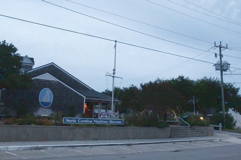
Location. 34° 43.049′ N, 76° 39.984′ W. Marker is in Beaufort, North Carolina, in Carteret County. Marker is on Front Street west of Turner Street, on the right when traveling west. Marker is located at the North Carolina Maritime Museum. Touch for map. Marker is at or near this postal address: 315 Front Street, Beaufort NC 28516, United States of America. Touch for directions.
Other nearby markers. At least 8 other markers are within walking distance of this marker. Remembering our Ancestors (about 300 feet away, measured in a direct line); Jacob Henry (about 300 feet away); Beaufort (about 400 feet away); Michael John Smith (about 500 feet away); John G. Newton (about 600 feet away); Old Burying Ground (about 800 feet away); Whale Fishery (approx. ¼ mile away); Cateret County Gold Star Families Memorial Monument (approx. ¼ mile away). Touch for a list and map of all markers in Beaufort.
Also see . . .
1. North Carolina Maritime Museum. (Submitted on December 30, 2022.)
2. Monitor National Marine Sanctuary. (Submitted on December 30, 2022.)
Credits. This page was last revised on December 30, 2022. It was originally submitted on December 30, 2022, by Tom Bosse of Jefferson City, Tennessee. This page has been viewed 95 times since then and 14 times this year. Photos: 1, 2. submitted on December 30, 2022, by Tom Bosse of Jefferson City, Tennessee. • Bernard Fisher was the editor who published this page.

