Homestead in Miami-Dade County, Florida — The American South (South Atlantic)
Everglades National Park
Photographed by Dave W, December 26, 2022
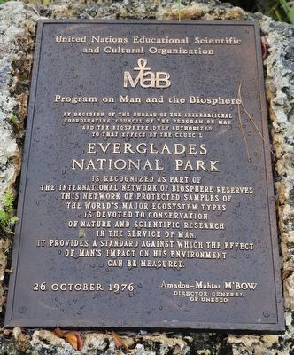
1. Everglades National Park Marker
and Cultural Organization
MAB
Program on Man and the Biosphere
By Decision of the Bureau of the International
Coordinating Council of the Program on Man
and the Biosphere, duly authorized
to that effect by the council
Everglades
National Park
is recognized as part of
the International Network of Biosphere Reserves.
This network of protected samples of
the world's major ecosystem types
is devoted to conservation
of nature and scientific research
in the service of man. It provides a standard against which the effect
of man's impact on his environment
can be measured.
Erected 1976 by United Nations Education Scientific and Cultural Organization (UNESCO).
Topics. This historical marker is listed in these topic lists: Anthropology & Archaeology • Education • Environment • Science & Medicine. A significant historical date for this entry is October 26, 1976.
Location. 25° 23.718′ N, 80° 35.024′ W. Marker is in Homestead, Florida, in Miami-Dade County. It is on State Highway 9336. Touch for map. Marker is at or near this postal address: 40001 State Hwy 9336, Homestead FL 33034,
this page online

Regionally, this marker is in South Florida, on the Gold Coast, in the Everglades, and in Greater Miami. It is also in the American South and on the Eastern Seaboard. Globally, it is in the North Atlantic Region, North America, a Gulf of Mexico state, the Western Hemisphere, the Western World, and the Anglosphere. Historically, it finds itself in what was once New Spain, the territory of the Mississippian Culture, one of the Confederate States of America, and the Antebellum South.
Other nearby markers. At least 8 other markers are within 9 miles of this marker, measured as the crow flies: A different marker also named Everglades National Park (a few steps from this marker); Stephen Tyng Mather (a few steps from this marker); Operation Pedro Pan (approx. 7.9 miles away); Landmark Hotel (approx. 8.4 miles away); The Seminole Theater (approx. 8.4 miles away); Historic Town Hall (approx. 8.4 miles away); The Hotel Redland (approx. 8½ miles away); Redland District (approx. 8½ miles away). Touch for a list and map of all markers in Homestead.
Photographed by Dave W, December 26, 2022
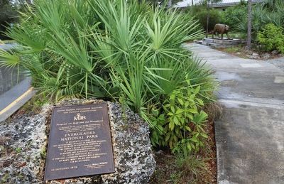
2. Everglades National Park Marker
Credits. This page was last revised on June 22, 2024. It was originally submitted on January 6, 2023, by Dave W of Co, Colorado. This page has been viewed 267 times since then and 24 times this year. Photos: 1, 2. submitted on January 6, 2023, by Dave W of Co, Colorado. • Bill Pfingsten was the editor who published this page.
