Downtown in San Antonio in Bexar County, Texas — The American South (West South Central)
Birth of a Community
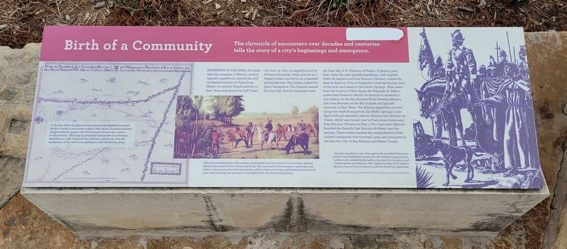
Beginning In The 1680s, 160 years after the conquest of Mexico, several Spanish expeditions entered the still uncharted interior of Texas from Mexico to counter French activity in East Texas and along the Gulf Coast. On June 13, 1691, an expedition led by Governor Domingo Terán arrived at a Payaya Indian ranchería on a beautiful spring-fed river. The Indians called the place Yanaguana. The Spanish named the river San Antonio because it was the feast day of St. Anthony of Padua. Eighteen years later, when the next Spanish expedition, with Capitán Pedro de Aguirre and Fray Antonio Olivares, visited the area on April 13, 1709, it stopped at a lush spring just west of the river and named it San Pedro Springs. Nine years later the viceroy of New Spain, the Marqués de Valero, authorized Governor Martín de Alarcón to establish a way station on the San Antonio River between Mission San Juan Bautista on the Rio Grande and Spanish missions in East Texas. The Alarcón expedition arrived along the creek flowing from San Pedro Springs in late April 1718 and selected a site for Mission San Antonio de Valero, which was turned over to Franciscan missionary Fray Antonio Olivares on May 1. Four days later Alarcón founded the Presidio San Antonio de Béxar near the springs. These events marked the establishment of the isolated settlement that survived, grew, and prospered to become the City of San Antonio and Bexar County.
Captions
Left: In the late 1600s the Spanish mounted several expeditions across the Rio Grande to the eastern edge of New Spain, founding missions and presidios to counter the French and to convert the natives to Christianity. This map, by presidial commander Luis Antonio Menchaca in 1764, shows the San Antonio community from the headwaters of the river to its confluence with the Medina River.
Courtesy: John Carter Brown Library, Brown University, R.I.
Lower Middle Left: Following establishment of the mission and presidio and the arrival of more settlers, Spanish officials allocated land for homes and farms. The community's first surveyors used ropes and rocks to measure and mark lot boundaries, while in later years more sophisticated instruments were used including the surveyor's cross depicted in this historical painting.
Painting: Theodore Gentilz.
Courtesy: San Antonio Museum of Art.
Lower Middle Right: Spanish expeditions into Texas generally included Franciscan priests who established missions for the indigenous population, soldiers who established presidios
to protect the missions, and Indian guides and laborers. New Spain included all of modern Mexico, most of Central America, and the American Southwest.
Drawing: José Cisneros.
Courtesy: University of Texas at San Antonio Libraries Special Collections.
Erected 2018 by San Pedro Creek Culture Park. (Marker Number 4.)
Topics. This historical marker is listed in these topic lists: Colonial Era • Exploration • Hispanic Americans • Parks & Recreational Areas. A significant historical date for this entry is April 13, 1709.
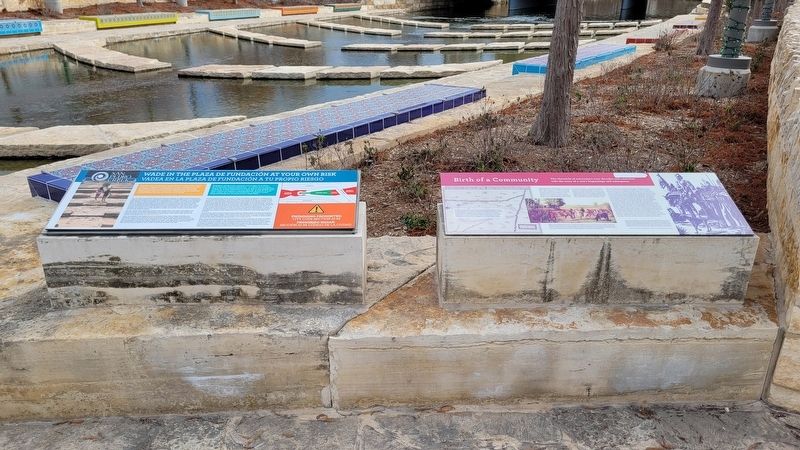
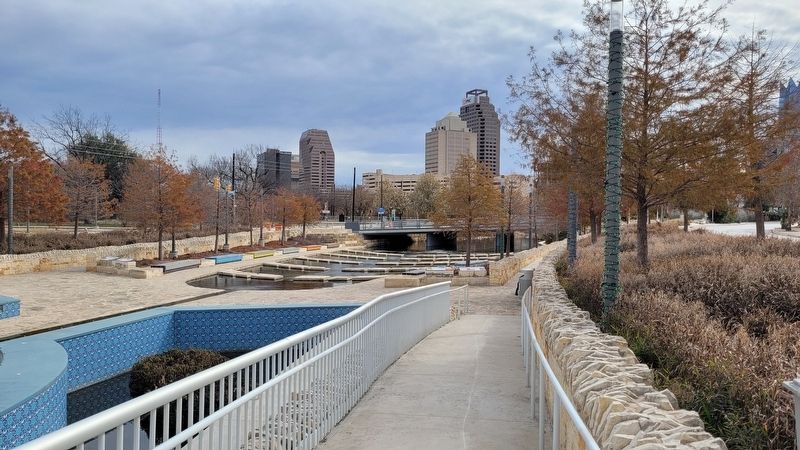
Location. 29° 25.881′ N, 98° 29.88′ W. Marker is in San Antonio, Texas, in Bexar County. It is in Downtown. Marker can be reached from the intersection of Camaron Street and North Santa Rosa Street. The marker is located on the northwest section of the San Pedro Creek Culture Park on a stone block. Touch for map. Marker is at or near this postal address: 715 Camaron Street, San Antonio TX 78207, United States of America. Touch for directions.
Other nearby markers. At least 8 other markers are within walking distance of this marker. San Pedro Creek: A Crossroads of Cultures (a few steps from this marker); San Pedro Creek and the Saga of a City (within shouting distance of this marker); A Chronicle of Floods and Their Legacy of Calamities (within shouting distance of this marker); San Pedro Creek (within shouting
distance of this marker); Christopher Columbus Italian Society Hall (about 300 feet away, measured in a direct line); Italian American Community in San Antonio (about 300 feet away); San Francesco Di Paola Catholic Church (about 300 feet away); The Taming of San Pedro Creek (about 600 feet away). Touch for a list and map of all markers in San Antonio.
Also see . . . Where beauty meets purpose. San Pedro Creek Culture Park (Submitted on January 6, 2023, by James Hulse of Medina, Texas.)
Credits. This page was last revised on February 2, 2023. It was originally submitted on January 6, 2023, by James Hulse of Medina, Texas. This page has been viewed 80 times since then and 17 times this year. Photos: 1, 2, 3. submitted on January 6, 2023, by James Hulse of Medina, Texas.


