Southside in San Antonio in Bexar County, Texas — The American South (West South Central)
Mission San Juan Capistrano
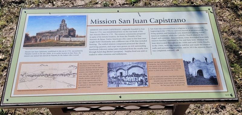
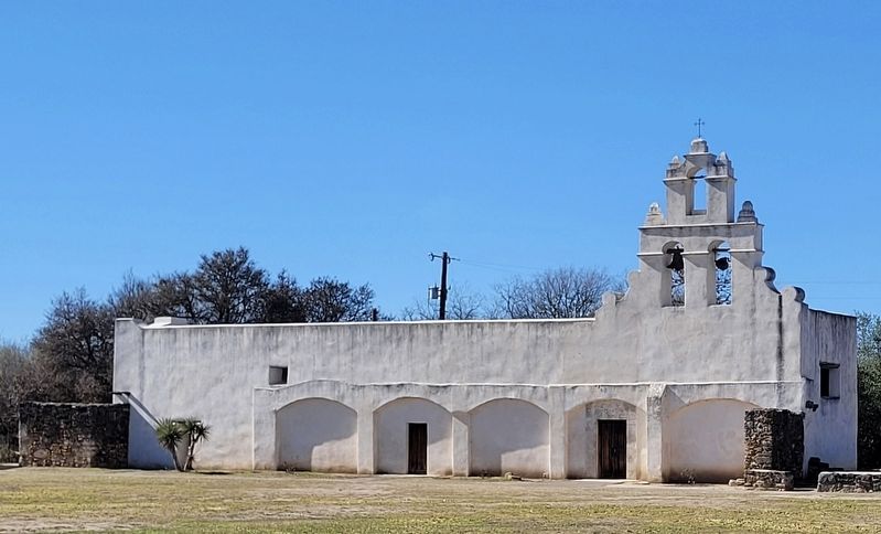
San Juan was converted from a religious to a civil community beginning in the 1790s in a process known as secularization. The living quarters and farmlands were distributed among Native American residents, while the Catholic Church retained the chapel and convento. Area residents, some descended from early mission families, continued to live and farm here. Mission San Juan deteriorated throughout the 1800s and early 1900s. Finally, in the 1960s, work was begun to stabilize and repair the mission walls and surrounding structures, and in 2013 the mission church was completely restored.
Captions
Upper Left: Mission San Juan Capistrano, established on this site in 1731, was painted by Théodore Gentilz in the late 1800s. At its earlier location in East Texas, the mission was named San José de los Nazonis for the Indian tribe it served.
Courtesy: Daughters of the Republic of Texas at the Alamo.
Lower Left: This detail from Luis Antonio Menchaca's 1764 map of San Antonio de Bexar and five Spanish missions illustrates San Juan, its acequia, and irrigated fields where corn, chilies, squash, melons, sugar cane and other crops were grown. Nearby Mission Espada can be seen on the opposite side of the river. Today a demonstration farm is operated on San Juan's original agricultural land.
Courtesy: John Carter Brown Library, Brown University, Providence, R.I.
Lower Middle: Mission San Juan, together with Missions Concepción, San José and Espada, remains an active parish of the Archdiocese of San Antonio. The children of the parish gathered for a group picture in front of the church in the 1940s.
Courtesy: University of Texas at San Antonio Libraries Special Collections.
Lower Right: Local residents and visitors have been fascinated with the architecture and history of San Antonio's missions since the 1800s. Two well-dressed tourists had their picture taken while exploring the San Juan ruins in about 1911.
Courtesy:
University of Texas at San Antonio Libraries Special Collections.
Erected by San Antonio Missions National Historical Park.
Topics. This historical marker is listed in these topic lists: Agriculture • Churches & Religion • Colonial Era • Native Americans. A significant historical year for this entry is 1716.
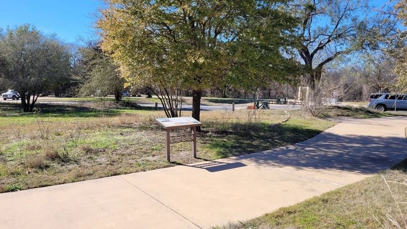
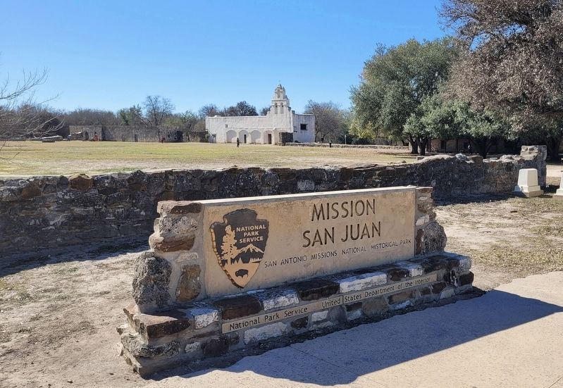
Location. 29° 20.054′ N, 98° 27.292′ W. Marker is in San Antonio, Texas, in Bexar County. It is in Southside. Marker can be reached from the intersection of Graf Road and Mission Road. The marker is located at the north side of Mission San Juan near the Mission Road intersection. Touch for map. Marker is at or near this postal address: 9101 Graf Road, San Antonio TX 78223, United States of America. Touch for directions.
Other nearby markers. At least 8 other markers are within walking distance of this marker. Bergs Mill Veterans Memorial Bridge (about 300 feet away, measured in a direct line); San Antonio Missions (about 400 feet away); a different marker also named Mission San Juan Capistrano (about 500 feet away); The San Antonio Missions World Heritage Site (about 500 feet away); Berg's Mill (about 600 feet away); Hub of Commerce (about 600 feet away); Berg's Mill Community (about 700 feet away); A Sacred Place (about 700 feet away). Touch for a list and map of all markers in San Antonio.
Also see . . . Mission San Juan
. San Antonio Missions - World Heritage
Mission San Juan Capistrano moved to the San Antonio River from East Texas on March 5, 1731. The unfinished church was utilized as a cemetery and some of the original mission residents were buried there. Today, many of the parishioners are descendants of the original inhabitants of the mission. The Yanaguana Trail along the San Antonio River at the mission is a shaded, paved walkway among trees and vegetation that show you what the riverbank was like 300 years ago. The San Juan Acequia has been restored to use for watering the Spanish Colonial Demonstration Farm.(Submitted on January 7, 2023, by James Hulse of Medina, Texas.)
Credits. This page was last revised on February 2, 2023. It was originally submitted on January 7, 2023, by James Hulse of Medina, Texas. This page has been viewed 113 times since then and 21 times this year. Photos: 1, 2, 3, 4. submitted on January 7, 2023, by James Hulse of Medina, Texas.


