Near Conroe in Montgomery County, Texas — The American South (West South Central)
George Bell Madeley Cemetery
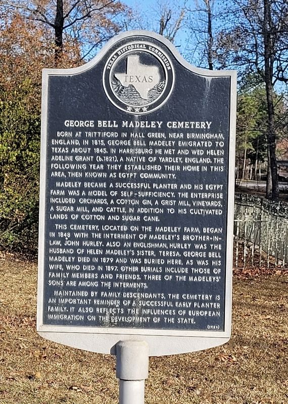
Photographed by James Hulse, January 5, 2023
1. George Bell Madeley Cemetery Marker
Madeley became a successful planter and his Egypt farm was a model of self-sufficiency. The enterprise included orchards, a cotton gin, a grist mill, vineyards, a sugar mill, and cattle, in addition to his cultivated lands of cotton and sugar cane.
This cemetery, located on the Madeley Farm, began in 1848 with the interment of Madeley's brother-in- law, John Hurley. Also an englishman, Hurley was the husband of Helen Madeley's sister, Teresa. George Bell Madeley died in 1879 and was buried here, as was his wife, who died in 1897. Other burials include those of family members and friends. Three of the Madeleys' sons are among the interments.
Maintained by family descendants, the cemetery is an important reminder of a successful early planter family. It also reflects the influences of European immigration on the development
this page online
Erected 1989 by Texas Historical Commission. (Marker Number 7883.)
Topics. This historical marker is listed in these topic lists: Agriculture • Cemeteries & Burial Sites • Immigration • Settlements & Settlers. A significant historical year for this entry is 1815.
Location. 30° 13.65′ N, 95° 32.281′ W. Marker is near Conroe, Texas, in Montgomery County. It is on Saddlewood Drive 0.1 miles east of Old Conroe Road. The marker is located at the front of the cemetery just behind the fence. Touch for map. Marker is at or near this postal address: 15256 Saddlewood Drive, Conroe TX 77384, United States of America. Touch for directions.

Regionally, this marker is in the Houston Metropolitan Area. It is also on the American Gulf Coast. Globally, it is in North America, a Gulf of Mexico state, the Western Hemisphere, the Western World, and the Anglosphere. Historically, it finds itself in what was once New Spain, the Republic of Texas, one of the Confederate States of America, and the Antebellum South.
Other nearby markers. At least 8 other markers are within 7 miles of this marker, measured as the
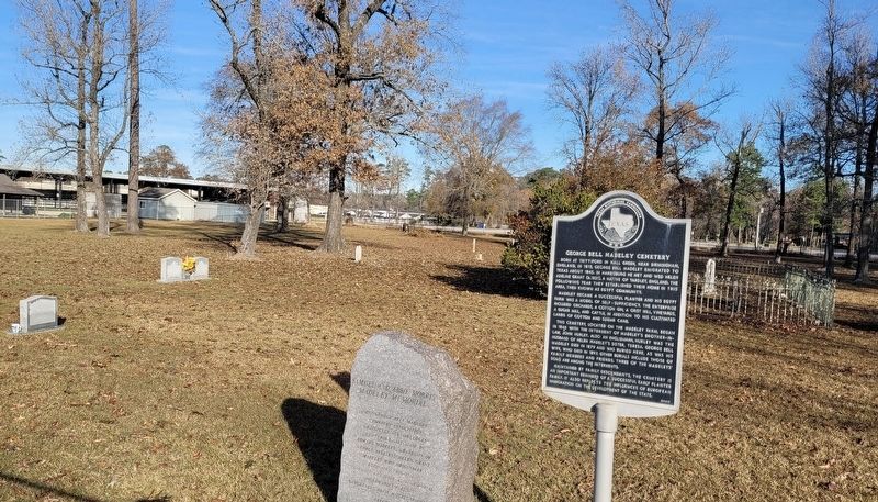
Photographed by James Hulse, January 5, 2023
2. The George Bell Madeley Cemetery and Marker
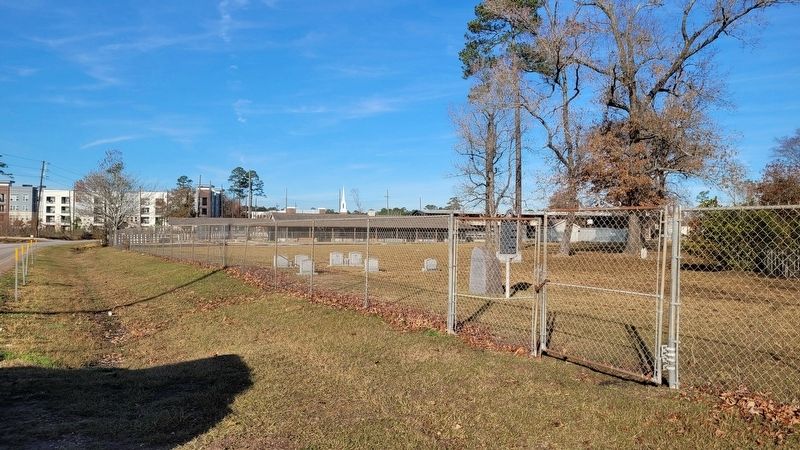
Photographed by James Hulse, January 5, 2023
3. The view of the George Bell Madeley Cemetery and Marker from the street
Credits. This page was last revised on January 8, 2023. It was originally submitted on January 8, 2023, by James Hulse of Medina, Texas. This page has been viewed 647 times since then and 52 times this year. Photos: 1, 2, 3. submitted on January 8, 2023, by James Hulse of Medina, Texas.
