Manassas, Virginia — The American South (Mid-Atlantic)
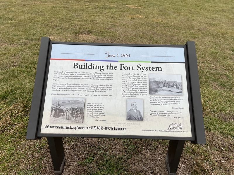
Building the Fort System
June 1, 1861
As thousands of men from across the South converged on Manassas Junction, it was evident to Confederate leaders in Richmond that this was where northern and southern forces would eventually oppose one another. Confederate President Davis ordered General P.G.T. Beauregard up from Charleston to take command of the military forces in Northern Virginia.
A trained engineer, Beauregard arrived on June 1 and instantly began to direct the improvement of the existing forts around the rail junction. Using hills and ridges, engineers began to lay out defensive positions around the junction and along Bull Run, a small meandering waterway with steep banks that made it a natural defensive barrier.
Over a dozen fortifications and hundreds of yards of connecting earthworks were constructed by the fall of 1861, devastating the landscape and the farms in the region. Many of the enlisted men worked on the forts with local enslaved people from nearby farms. Though many owners resisted "renting" their enslaved to the military, Beauregard insisted and began to force farmers to send their workers to the forts. This forced labor allowed the Confederates to quickly build strong defenses.
[Captions:]
In this close up image of an earthwork fort, one can see the detail that went into creating a strong defensive position: the sloped earth in front of steep walls, trenches and small openings for the naval guns that manned this position.
Pictured above: This wartime image offers a fantastic view of a portion of the earthworks built in the Manassas area. Note the lack of trees on the landscape. Much of the timber in the area had been chopped down by Confederate forces for military use.
Pictured left: General P.G.T. Beauregard was the man responsible for improving the defensive works around Manassas in the summer of 1861.
Erected by City of Manassas, Virginia.
Topics. This historical marker is listed in these topic lists: African Americans • Forts and Castles • War, US Civil • Waterways & Vessels. A significant historical date for this entry is June 1, 1861.
Location. 38° 45.231′ N, 77° 27.162′ W. Marker is in Manassas, Virginia. Marker can be reached from Battery Heights Boulevard south of Quarry road, on the right when traveling north. Touch for map. Marker is at or near this postal address: 8401 Quarry Rd, Manassas VA 20110, United States of America. Touch for directions.
Other nearby markers. At least 8 other markers are within walking distance of this marker. Role of Mayfield in Battle of First Manassas (here, next to this marker); Why the Forts? (here, next to this marker); Camps of Instruction (here, next to this marker); Battle of Bull Run Bridge

Photographed By Devry Becker Jones (CC0), January 8, 2023
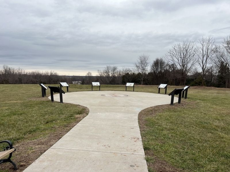
2. The markers on the grounds of Fort Mayfield
Additional keywords. enslaved labor
Credits. This page was last revised on January 8, 2023. It was originally submitted on January 8, 2023, by Devry Becker Jones of Washington, District of Columbia. This page has been viewed 124 times since then and 22 times this year. Photos: 1, 2. submitted on January 8, 2023, by Devry Becker Jones of Washington, District of Columbia.
