Manassas, Virginia — The American South (Mid-Atlantic)
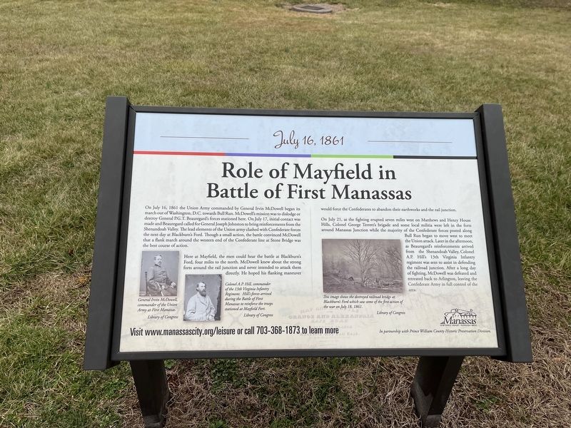
Role of Mayfield in Battle of First Manassas
July 16, 1861
Photographed by Devry Becker Jones (CC0), January 8, 2023
1. Role of Mayfield in Battle of First Manassas Marker
On July 16, 1861, the Union Army commanded by General Irvin McDowell began its march out of Washington, D.C. towards Bull Run. McDowell's mission was to dislodge or destroy General P.G.T. Beauregard's forces stationed here. On July 17, initial contact was made and Beauregard called for General Joseph Johnston to bring reinforcements from the Shenandoah Valley. The lead elements of the Union army clashed with Confederate forces the next day at Blackburn's Ford. Though a small action, the battle convinced McDowell that a flank march around the western end of the Confederate line at a Stone Bridge was the best course of action.
Here at Mayfield, the men could hear the battle at Blackburn's Ford, four miles to the north. McDowell knew about the strong forts around the rail junction and never intended to attack them directly. He hoped his flanking maneuver would force the Confederates to abandon their earthworks and the rail junction.
On July 21, as the fighting erupted seven miles west on Matthews and Henry House Hills, Colonel George Terrett's brigade and some local militia were left in the forts around Manassas Junction
this page online
[Captions:]
General Irvin McDowell, commander of the Union Army at First Manassas.
Colonel A.P. Hill, commander of the 13th Virginia Infantry Regiment. Hill's forces arrived during the Battle of First Manassas to reinforce the troops stationed at Mayfield Fort.
This image shows the destroyed railroad bridge at Blackburn's Ford which saw some of the first action of the war on July 18, 1861.
Erected by City of Manassas, Virginia.
Topics and series. This historical marker is listed in these topic lists: Forts and Castles • Railroads & Streetcars • War, US Civil • Waterways & Vessels. In addition, it is included in the Virginia, City of Manassas series list. A significant historical date for this entry is July 16, 1861.
Location. 38° 45.231′ N,
Photographed by Devry Becker Jones (CC0), January 8, 2023
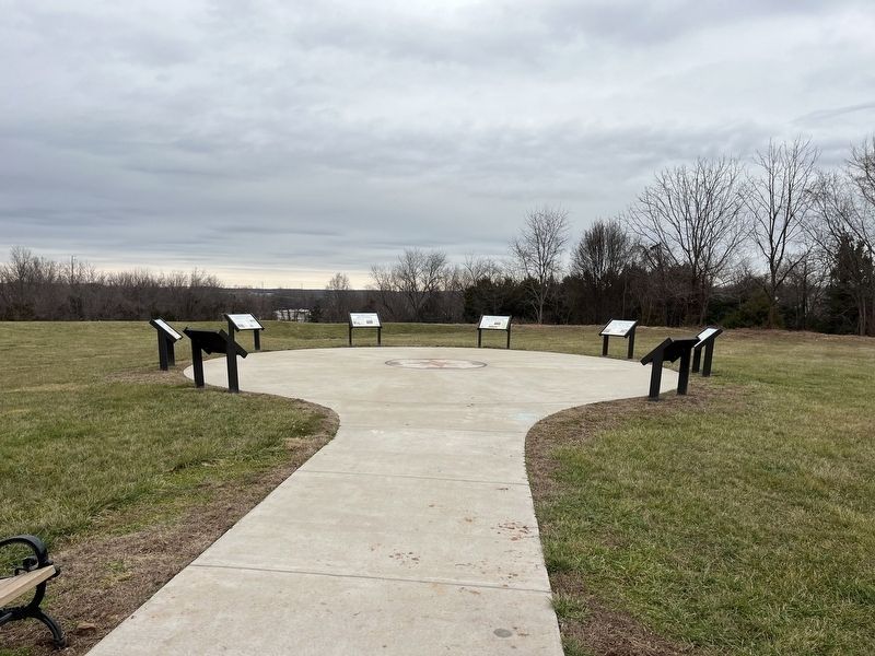
2. The markers on the grounds of Fort Mayfield

Regionally, this marker is in the Washington Metropolitan Area and in Northern Virginia. It is also in the American South, specifically in the Upper South, and in the Mid-Atlantic. Globally, it is in North America, the Western Hemisphere, the Western World, and the Anglosphere. Historically, it finds itself in what was once the territory of the Mississippian Culture, one of the original Thirteen Colonies, one of the Confederate States of America, and the Antebellum South.
Other nearby markers. At least 8 other markers are within walking distance of this marker: Building the Fort System (here, next to this marker); Battle of Bull Run Bridge (here, next to this marker); Why the Forts? (here, next to this marker); a different marker also named Battle of Bull Run Bridge (here, next to this marker); Camps of Instruction (a few steps from this marker); Casualties of Battle (a few steps from this marker); Preservation of Mayfield Fort (a few steps from this marker); Building Mayfield Fort (within shouting distance of this marker). Touch for a list and map of all markers in Manassas.
Other markers no longer nearby. Mayfield Civil War Fort (was here, next to this marker but has been replaced with another marker now near it); a different marker also named Mayfield Civil War Fort (was here, next to this marker but has been replaced with another marker now near it); a different marker also named Mayfield Civil War Fort (was a few steps from this marker but has been replaced with another marker now near it); a different marker also named Mayfield Civil War Fort (was within shouting distance of this marker but has been replaced with another marker now near it); a different marker also named Mayfield Civil War Fort (was within shouting distance of this marker but has been replaced with another marker now near it).
Credits. This page was last revised on January 8, 2023. It was originally submitted on January 8, 2023, by Devry Becker Jones of Washington, District of Columbia. This page has been viewed 409 times since then and 31 times this year. Photos: 1, 2. submitted on January 8, 2023, by Devry Becker Jones of Washington, District of Columbia.
