Waterfront in Boston in Suffolk County, Massachusetts — The American Northeast (New England)
Bumpkin Island
Boston Harbor Islands National Park Area
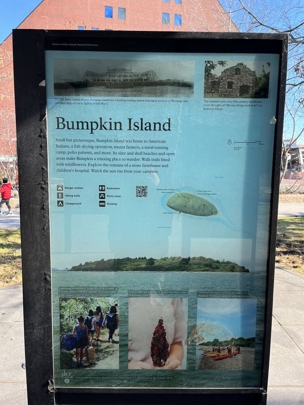
Small but picturesque, Bumpkin Island was home to American Indians, a fish-drying operation, tenant farmers, a naval training camp, polio patients, and more. Its slate and shell beaches and open areas make Bumpkin a relaxing place to wander. Walk trails lined with wildflowers. Explore the remains of a stone farmhouse and children's hospital. Watch the sun rise from your campsite.
[Captions:]
The U.S. Navy turned 30-acre Bumpkin Island into a bustling training station housing as many as 1,750 young men who then shipped out to fight in World War I.
The romantic ruins of a 19th-century farmhouse evoke thoughts of "the way things used to be" on Bumpkin Island.
Campsites on Bumpkin Island are located either in a woody area or a beach clearing. After arriving by boat, campers hike to their slice of paradise.
Native plants are featured in ranger-led nature tours of Bumpkin Island.
The protected waters around the islands of Hingham Harbor are popular with paddlers.
Erected by National Park Service, U.S. Department of the Interior.
Topics. This historical marker is listed in these topic lists: Agriculture
this page online
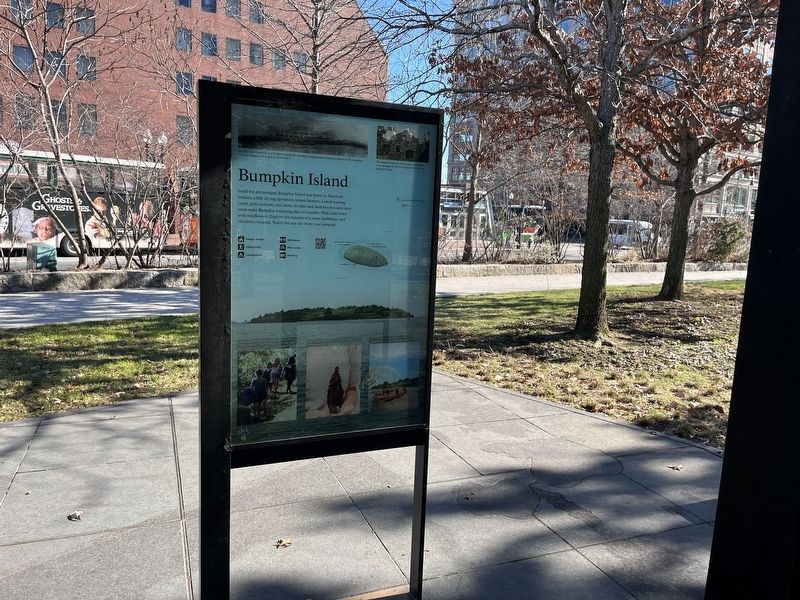
Location. 42° 21.602′ N, 71° 3.133′ W. Marker is in Boston, Massachusetts, in Suffolk County. It is in Waterfront. It is on Atlantic Avenue north of State Street, on the left when traveling north. Touch for map. Marker is at or near this postal address: 100 Atlantic Ave, Boston MA 02110, United States of America. Touch for directions.

Regionally, this marker is in Massachusetts’ Historic Boston. It is also in the American Northeast, in New England, and on the Eastern Seaboard. Globally, it is in the North Atlantic Region, North America, the Western Hemisphere, the Western World, and the Anglosphere. Historically, it finds itself in what was once one of the original Thirteen Colonies.
Other nearby markers. At least 8 other markers are within walking distance of this marker: Little Brewster Island (here, next to this marker); Georges Island (here, next to this marker); Lovells Island (here, next to this marker); Peddocks Island (here, next to this marker); Thompson Island
Credits. This page was last revised on February 4, 2023. It was originally submitted on February 4, 2023, by Devry Becker Jones of Washington, District of Columbia. This page has been viewed 250 times since then and 42 times this year. Photos: 1, 2. submitted on February 4, 2023, by Devry Becker Jones of Washington, District of Columbia.
