Near Delaware City in New Castle County, Delaware — The American Northeast (Mid-Atlantic)
Pea Patch Island
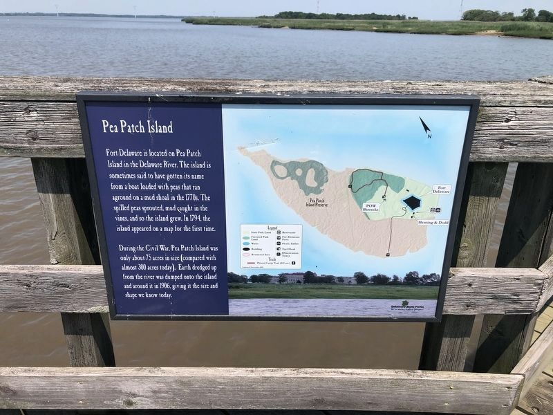
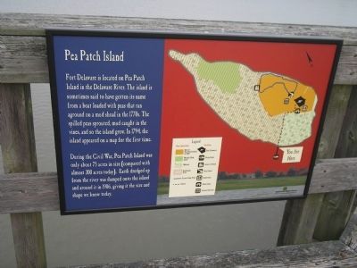
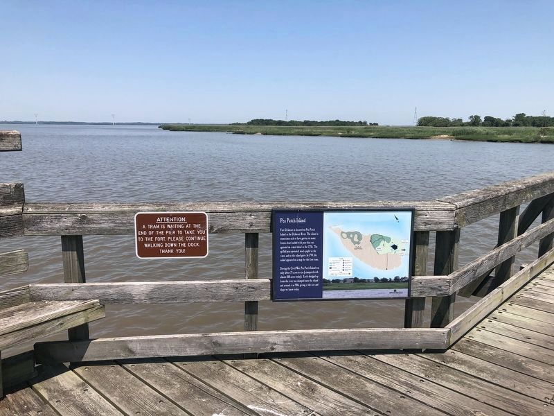
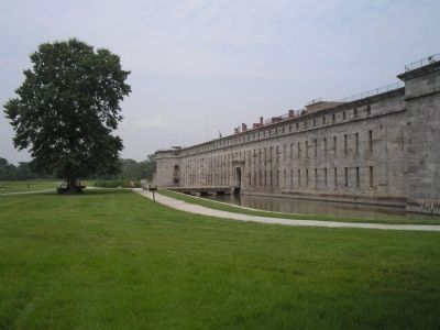
Fort Delaware is located on Pea Patch Island in the Delaware River. The island is sometimes said to have gotten its name from a boat loaded with peas that ran aground on a mud shoal in the 1770s. The spilled peas sprouted, mud caught in the vines, and so the island grew. In 1794, the island appeared on a map from the first time.
During the Civil War, Pea Patch Island was only about 75 acres in size (compared with almost 300 acres today). Earth dredged up from the river was dumped onto the island and around it in 1906, giving it the size we know today.
Erected by Delaware State Parks.
Topics and series. This historical marker is listed in these topic lists: Forts and Castles • Natural Features • War, US Civil. In addition, it is included in the Delaware State Parks series list. A significant historical year for this entry is 1794.
Location. 39° 35.144′ N, 75° 34.321′ W. Marker is near Delaware City, Delaware, in New Castle County. Marker is located on Pea Patch Island, near the boat dock. Touch for map. Marker is in this post office area: Delaware City DE 19706, United States of America. Touch for directions.
Other nearby markers. At least 8 other markers are within walking distance of this marker. Sally Port (approx. 0.3 miles away); Power Station (approx. 0.3 miles away); In Memory of W. Emerson Wilson (approx. 0.3 miles away); Gun Embrasure (approx. 0.4 miles away); Heronry on Pea Patch Island (approx. 0.9 miles away); Coastal Defense Forts (approx. 0.9 miles away); City of Delaware City Veteran's Point (approx. 0.9 miles away); Veteran's Point (approx. 0.9 miles away). Touch for a list and map of all markers in Delaware City.
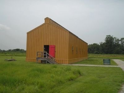
More about this marker. The right of the marker contains a map of Pea Patch Island indicating the location of Fort Delaware and the Confederate prisoner barracks.
Also see . . . Fort Delaware State Park. (Submitted on August 12, 2009, by Bill Coughlin of Woodland Park, New Jersey.)
Photographed By Bill Coughlin, August 12, 2009
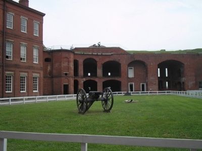
5. Fort Delaware
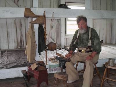
The first large group of prisoners to arrive at Fort Delaware were 250 of Stonewall Jackson's men captured during the First Battle of Kearnstown in 1862. Most of the Southern troops captured at Gettysburg, including Gen. James J. Archer, were brought here.
Credits. This page was last revised on June 6, 2021. It was originally submitted on August 12, 2009, by Bill Coughlin of Woodland Park, New Jersey. This page has been viewed 2,572 times since then and 47 times this year. Photos: 1. submitted on June 6, 2021, by Devry Becker Jones of Washington, District of Columbia. 2. submitted on August 12, 2009, by Bill Coughlin of Woodland Park, New Jersey. 3. submitted on June 6, 2021, by Devry Becker Jones of Washington, District of Columbia. 4, 5, 6, 7, 8. submitted on August 12, 2009, by Bill Coughlin of Woodland Park, New Jersey.
