Chantilly in Fairfax County, Virginia — The American South (Mid-Atlantic)
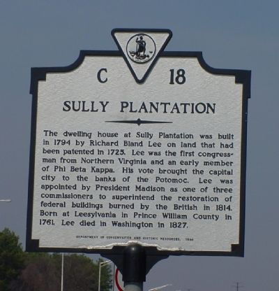
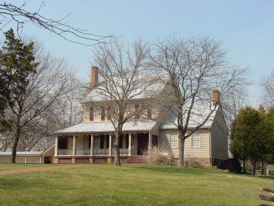
Sully Plantation
Erected 1988 by Department of Conservation and Historic Resources. (Marker Number C-18.)
Topics and series. This historical marker is listed in these topic lists: Agriculture • Fraternal or Sororal Organizations • Settlements & Settlers • War of 1812 • Waterways & Vessels. In addition, it is included in the Former U.S. Presidents: #04 James Madison, and the Virginia Department of Historic Resources (DHR) series lists. A significant historical year for this entry is 1794.
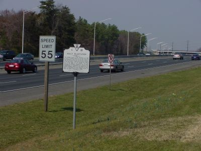
Location. 38° 54.45′ N, 77° 25.943′ W. Marker is in Chantilly, Virginia, in Fairfax County. Marker is on Sully Road (Virginia Route 28) near U.S. 50, on the right when traveling north. Marker is just north of the entrance to Sully Plantation. Touch for map. Marker is at or near this postal address: 3601 Sully Road, Chantilly VA 20151, United States of America. Touch for directions.
Other nearby markers. At least 8 other markers are within walking distance of this marker. Heirloom Garden (about 300 feet away, measured in a direct line); Robert Edward Wagstaff (about 300 feet away); Sully (about 400 feet away); Old Barn and Other Farm Buildings (about 800 feet away); Finding a Slave Quarter and an 18th Century Roadbed (approx. 0.2 miles away); The Sully Farms (approx. 0.2 miles away); Richard Bland Lee Served His Country (approx. 0.2 miles away); An 18th Century Enslaved Community at Sully (approx. 0.2 miles away). Touch for a list and map of all markers in Chantilly.
More about this marker. There is plenty of parking at the plantation and it now has its own exit, shared with the Air & Space Museum, off of Route 28.
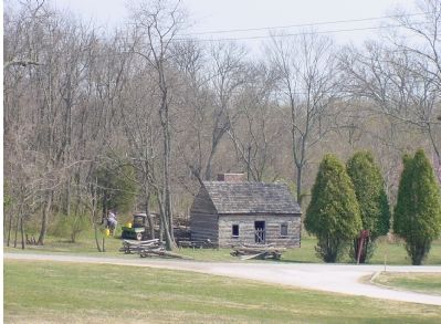
Regarding Sully Plantation. There is a charge to tour the house and outbuildings, but the grounds, including picnic tables under trees, are available at no charge.
Also see . . . The Sully Farms. Official Sully Plantation page on the Fairfax County Park Authority site. (Submitted on March 31, 2006.)
Additional keywords.
Potomac River
Credits. This page was last revised on June 17, 2023. It was originally submitted on March 31, 2006, by J. J. Prats of Powell, Ohio. This page has been viewed 4,272 times since then and 54 times this year. Photos: 1, 2, 3, 4. submitted on March 31, 2006, by J. J. Prats of Powell, Ohio.


