Thelka in San Antonio in Bexar County, Texas — The American South (West South Central)
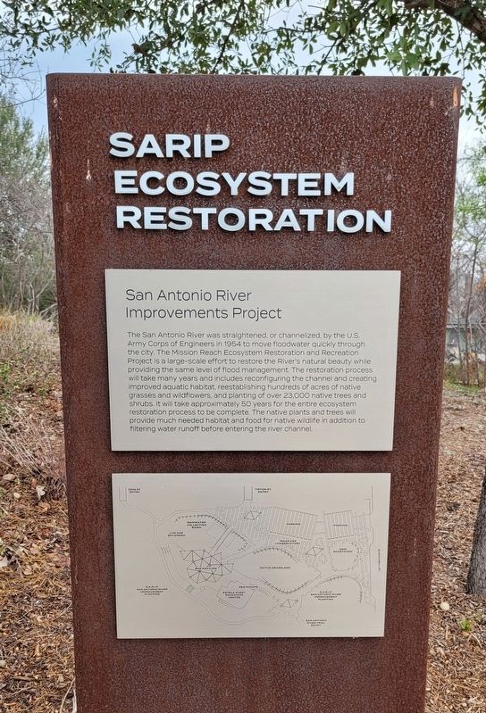
SARIP Ecosystem Restoration
Photographed by James Hulse, January 29, 2023
1. SARIP Ecosystem Restoration Marker
San Antonio River Improvements Project
The San Antonio River was straightened, or channelized, by the U.S. Army Corps of Engineers in 1954 to move floodwater quickly through the city. The Mission Reach Ecosystem Restoration and Recreation Project is a large-scale effort to restore the River's natural beauty while providing the same level of flood management. The restoration process will take many years and includes reconfiguring the channel and creating improved aquatic habitat, reestablishing hundreds of acres of native grasses and wildflowers, and planting of over 23,000 native trees and shrubs. It will take approximately 50 years for the entire ecosystem restoration process to be complete. The native plants and trees will provide much needed habitat and food for native wildlife in addition to filtering water runoff before entering the river channel.
Topics. This historical marker is listed in these topic lists: Environment • Parks & Recreational Areas • Waterways & Vessels. A significant historical year for this entry is 1954.
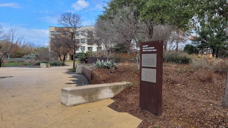
Location. 29° 23.592′ N, 98° 29.812′ W. Marker is in San Antonio, Texas, in Bexar County. It is in Thelka. It is at the intersection of West Mitchell Street and King Roger Street, on the left when traveling west on West Mitchell Street. The marker is located in the Confluence Park. Touch for map. Marker is at or near this postal address: 310 West Mitchell Street, San Antonio TX 78204, United States of America. Touch for directions.

Regionally, this marker is in South Texas. It is also in the American South. Globally, it is in North America, a Gulf of Mexico state, the Western Hemisphere, the Western World, and the Anglosphere. Historically, it finds itself in what was once New Spain, the Republic of Texas, and one of the Confederate States of America.
Other nearby markers. At
this page online
Photographed by James Hulse, January 29, 2023
2. The view of the SARIP Ecosystem Restoration Marker in the park
Credits. This page was last revised on February 17, 2023. It was originally submitted on February 17, 2023, by James Hulse of Medina, Texas. This page has been viewed 263 times since then and 16 times this year. Photos: 1, 2. submitted on February 17, 2023, by James Hulse of Medina, Texas.
