New London in New London County, Connecticut — The American Northeast (New England)
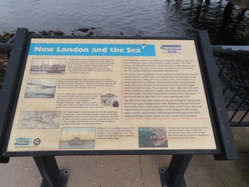
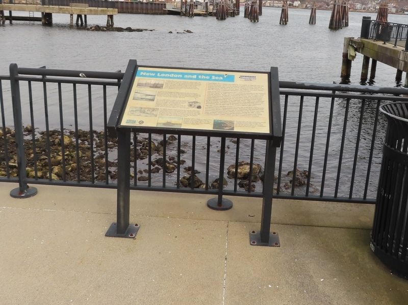
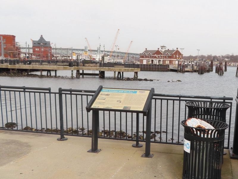
New London and the Sea
New London Waterfront Park
Even before New London was settled by the English in 1646, the area was known for its easy access to the sea and its natural resources. The native Pequots and Mohegans called the river the Great River of the Pequot or the Mohegan River. The river's present name, The Thames, was given shortly after the English established a permanent settlement here.
Early on the colonists established New London prominently in our country's maritime history. In 1660, John Coit established the first and largest of the colonial shipyards. During the American Revolution, New London was a center of privateering. Privateers were privately-owned, armed merchant vessels fitted out as warships for the purpose of attacking British supply vessels and merchant ships. These legalized "pirate" ships were authorized by the Colonial Government to capture enemy ships and cargo and to sell them for a profit, with half of the proceeds awarded to the Connecticut government and the other half to the owners, captains and crews.
The 19th century saw New London become one of the great whaling ports as well as a regional transportation center. Steamboats and railroads made New London an easy destination and its location on the Thames and Long Island Sound promoted it as a summer resort. During the 20th century, major scientific naval research and development took place at the Naval Underseas Warfare Center, which was then located at Fort Trumbull.
( photo captions )
— This photo shows the Amistad leaving New London Harbor. This re-created Amistad, which was constructed at Mystic Seaport, was launched May 25, 2000. The Amistad was escorted to New London Harbor in 1839 after 53 captured Africans revolted and took over the ship. Although the Africans were taken to New Haven, Connecticut for trial, New London served as the home of the Amistad for fourteen months until it was auctioned in 1840. This pier is a memorial to that event.
— The Harvard-Yale Regatta is the oldest continuously held intercollegiate athletic event in the country. New London has hosted all but five Harvard-Yale races since 1878. The Thames River offers a four-mile straight course that runs from the Gold Star Bridge to Bartlett's Cove (the upstream end of the race). This photo was taken at the end of the 19th century.
— The U.S. Custom House on Bank Street was built in 1833 and remains the oldest operating custom house in the nation. It was designed by Robert Mills, the nation's first Federal architect, who also designed the Washington Monument. Today it not only houses the Custom Office but the New London Maritime Society and the Museum of Maritime History. It is open to the public.
— The Thames Shipyard, located along the shore near the United States Coast Academy, is one of the largest and oldest commercial maritime repair facilities between New York and Boston. During the early 1900s, the Thames Tow Boat Company built many vessels and also had a fleet of tugs and barges. This drawing is circa 1900. Today the shipyard specializes in the repairs and retrofitting of ferries.
— Before the Gold Star Bridge was built in 1919, ferries were the means of transport between the shores of New London and Groton. This is a photo of the ferry boat Governor Winthrop crossing the Thames River.
— This photo shows tall ships docked at the yet-to-be completed Waterfront Park. The ships were participating in Opsail 2000, a flotilla of more than 200 tall ships from 60 nations, complemented by military and character vessels.
Topics. This historical marker is listed in these topic lists: Anthropology & Archaeology • Colonial Era • Industry & Commerce • Native Americans • Settlements & Settlers • Waterways & Vessels. A significant historical date for this entry is May 25, 2000.
Location. 41° 21.112′ N, 72° 5.627′ W. Marker is in New London, Connecticut, in New London County. Marker can be reached from S Water Street east of Bank Street Connector, on the right when traveling east. Located on the Amistad Pier.
Touch for map. Marker is in this post office area: New London CT 06320, United States of America. Touch for directions.
Other nearby markers. At least 8 other markers are within walking distance of this marker. Whaling Days (here, next to this marker); New London Waterfront (within shouting distance of this marker); The Amistad (within shouting distance of this marker); Middle Passage to New London (within shouting distance of this marker); Northern Quahog / Winter Flounder (within shouting distance of this marker); Humpback Whale (within shouting distance of this marker); Eastern Oyster / Summer Flounder (within shouting distance of this marker); New London Harbor (within shouting distance of this marker). Touch for a list and map of all markers in New London.
Credits. This page was last revised on May 6, 2023. It was originally submitted on February 22, 2023, by Michael Herrick of Southbury, Connecticut. This page has been viewed 66 times since then and 15 times this year. Photos: 1, 2, 3. submitted on February 22, 2023, by Michael Herrick of Southbury, Connecticut.


