Clifton Park in Saratoga County, New York — The American Northeast (Mid-Atlantic)
Fort's Ferry
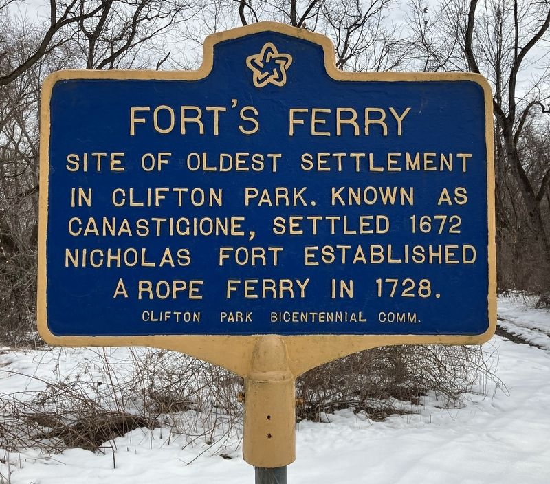
Photographed by Donald Slick, March 10, 2023
1. Fort's Ferry Marker
Site of Oldest Settlement in Clifton Park. Known as Canastigione, settled 1672. Nicholas Fort established a Rope Ferry in 1728
Erected by Clifton Park Bicentennial Commission.
Topics. This historical marker is listed in these topic lists: Colonial Era • Parks & Recreational Areas • Settlements & Settlers • Waterways & Vessels. A significant historical year for this entry is 1672.
Location. 42° 47.278′ N, 73° 47.581′ W. Marker is in Clifton Park, New York, in Saratoga County. It can be reached from Riverview Road 0.4 miles south of Van Wrankin Road, on the right when traveling east. Located in the Vischer Ferry Preserve. ¼ mile S of the parking lot on the Van Wrankin Road bicycle/walking path. Touch for map. Marker is in this post office area: Clifton Park NY 12065, United States of America. Touch for directions.

Regionally, this marker is in Upstate New York, in the Capital District, and in the Albany Metropolitan Area. It is also in the American Northeast and in the Mid-Atlantic. Globally, it is in North America, the Great North Woods, the Western Hemisphere, the Western World, and the Anglosphere.
this page online
Other nearby markers. At least 8 other markers are within walking distance of this marker: Erie Canal (approx. 0.4 miles away); Whipple Iron Truss Bridge (approx. 0.4 miles away); Vischer Ferry Nature and Historic Preserve (approx. 0.4 miles away); Cast Iron Whipple Truss Bridge, 1869 (approx. 0.4 miles away); Van Vranken Home, 1847 (approx. 0.9 miles away); Fox Preserve (approx. 0.9 miles away); Clutes Dry Dock (approx. 0.9 miles away); a different marker also named Clute’s Dry Dock (approx. 0.9 miles away). Touch for a list and map of all markers in Clifton Park.
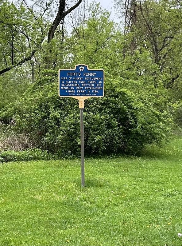
Photographed by Steve Stoessel, May 4, 2025
2. Fort's Ferry Marker
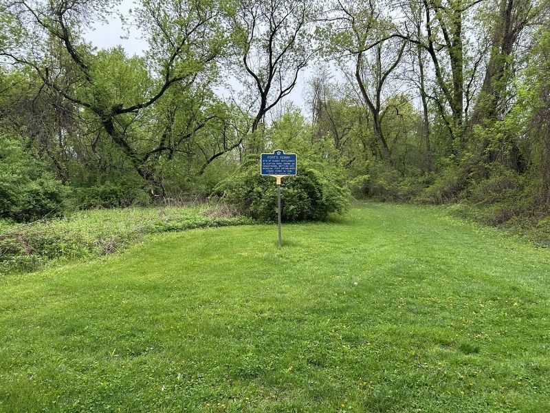
Photographed by Steve Stoessel, May 4, 2025
3. Fort's Ferry Marker
Credits. This page was last revised on May 4, 2025. It was originally submitted on March 13, 2023, by Donald Slick of Clifton Park, New York. This page has been viewed 806 times since then and 83 times this year. Photos: 1. submitted on March 13, 2023, by Donald Slick of Clifton Park, New York. 2, 3. submitted on May 4, 2025, by Steve Stoessel of Niskayuna, New York. • Michael Herrick was the editor who published this page.
