Centremount in Hamilton, Ontario — Central Canada (North America)
The Niagara Escarpment
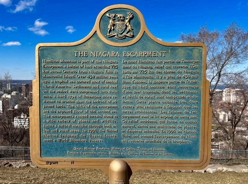
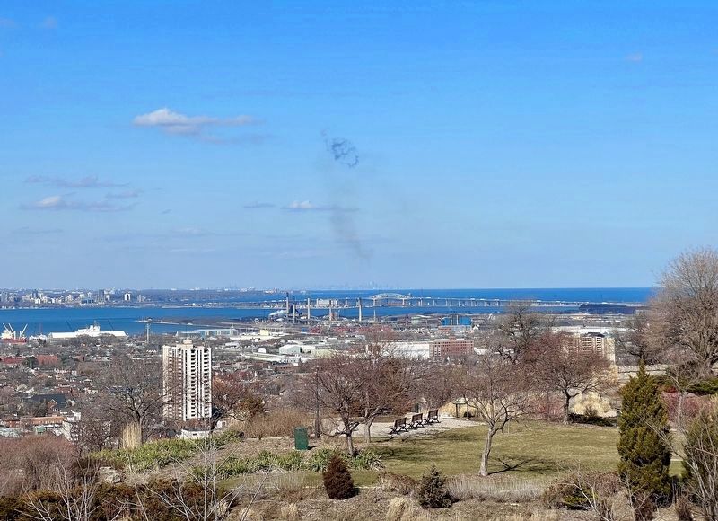
Hamilton Mountain is part of the Niagara Escarpment, a height of land extending 725 km across Ontario from Niagara Falls to Manitoulin Island. Over 450 million years ago, a tropical sea covered most of central North America. Sediments and coral reef on the seabed were compressed into dolomite, a hard type of limestone more resistant to erosion than the bedrock of adjacent lands. The cliffs of the escarpment are the exposed floor of the ancient sea. The escarpment's rugged terrain, home to a wide variety of plants and wildlife, forms a natural corridor through both urban and rural areas. In 1990, the United Nations designated the Niagara Escarpment a World Biosphere Reserve.
Ontario Heritage Foundation, Ministry of Culture, Tourism and Recreation
Foundation de patrimoine ontarien, Ministère de la Culture du Tourisme at des Loisirs
Erected by Ontario Heritage Foundation, Ministry of Culture, Tourism and Recreation.
Topics and series. This historical marker is listed in these topic lists: Environment • Natural Features • Parks & Recreational Areas. In addition, it is included in the Canada, Ontario Heritage Foundation series list. A significant historical year for this entry is 1990.
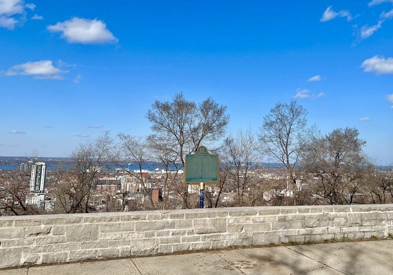
Location. 43° 14.708′ N, 79° 51.971′ W. Marker is in Hamilton, Ontario. It is in Centremount. Marker is on Concession Street, 0.2 kilometers west of Upper Wellington Street, on the right when traveling west. This marker is in Sam Lawrence Park, in the parking lot at the end of the entrance way off of Concession Street and Highcliffe Avenue. Touch for map. Marker is in this post office area: Hamilton ON L9A 3B6, Canada. Touch for directions.
Other nearby markers. At least 8 other markers are within walking distance of this marker. Friend of the Greenbelt- The Honourable William Grenville Davis (within shouting distance of this marker); Brock Stepped Here (approx. 0.4 kilometers away); Mountain View Hotel (approx. 0.7 kilometers away); The Incline Railway (approx. 0.8 kilometers away); Sandyford Place (approx. 0.9 kilometers away); “Claremont Lodge” and “Auchmar”, 1855 (approx. one kilometer away); The Toronto, Hamilton & Buffalo Railway (approx. one kilometer away); Canada’s First Birth Control Clinic (approx. one kilometer away). Touch for a list and map of all markers in Hamilton.
Also see . . . UNESCO- Niagara Escarpment Biosphere Reserve, Canada.
The Niagara Escarpment represents the largest contiguous stretch of primarily forested land in south-central Ontario. The biosphere reserve includes the greatest topographic variability in southern Ontario, with habitats ranging over more than 430 m in elevations and including Great Lakes coastlines, cliff edges, talus slopes, wetlands, woodlands, limestone alvar pavements, oak savannahs, conifer swamps and many others. These habitats collectively boast the highest level of species diversity among Canadian biosphere reserves, including more than 300 bird species, 55 mammals, 36 reptiles and amphibians, 90 fish and 100 varieties of special interest flora.(Submitted on March 30, 2023, by Tim Boyd of Hamilton, Ontario.)
Credits. This page was last revised on April 29, 2023. It was originally submitted on March 30, 2023, by Tim Boyd of Hamilton, Ontario. This page has been viewed 149 times since then and 24 times this year. Photos: 1, 2, 3, 4. submitted on March 30, 2023, by Tim Boyd of Hamilton, Ontario. • Andrew Ruppenstein was the editor who published this page.


