Burlington in Burlington County, New Jersey — The American Northeast (Mid-Atlantic)
Pre-Revolutionary History of Burlington City

Photographed By Devry Becker Jones (CC0), April 21, 2023
1. Pre-Revolutionary History of Burlington City Marker
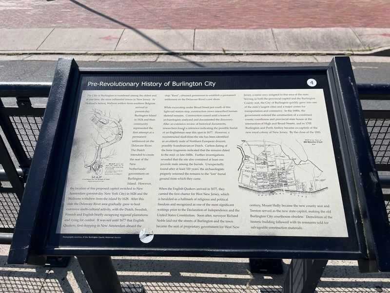
The City of Burlington is numbered among the oldest and, at one time, the most influential towns in New Jersey. At Holland's behest, Walloon settlers from southern Belgium arrived at present-day Burlington Island in 1624 and their community represented the first attempt at a permanent settlement on the Delaware River. The Dutch intended to create the seat of the New Netherlands' government on Burlington Island. However, the location of this proposed capitol switched to New Amsterdam (present-day New York City) in 1626 and the Walloons withdrew from the island by 1628. After this date the Delaware River area gradually grew to host extensive multi-cultural activity, with the Dutch, Swedish, Finnish and English briefly occupying regional plantations and vying for control. It was not until 1677 that English Quakers, first stopping in New Amsterdam aboard the ship "Kent", obtained permission to establish a permanent settlement on the Delaware River's east shore.
while excavating under Broad Street just south of this light-rail station stop, construction crews unearthed human skeletal remains. Construction ceased until a team of archaeologists analyzed and documented the discovery. After an extensive review of historical documents, researchers found a reference indicating the possible burial of an Englishman near this spot in 1677. However, a reconstructed skull from the site has been identified as an elderly male of Northern European descent, possibly Scandinavian or Dutch. Carbon dating of the bone fragments indicated that the remains dated to the mid- or late-1600s. Further investigations revealed that the site also contained at least one juvenile male among the burials. Unexpectedly found after at least 320 years, the archaeologists properly returned the remains to the "lost" burial ground from which they came.
When the English Quakers arrived in 1677, they carried the first charter for West New Jersey, which is heralded as a hallmark of religious and political freedom and recognized as one of the most significant writings prior to the Declaration of Independence and the United States Constitution. Soon after, surveyor Richard Noble laid out the streets of Burlington and the town became the seat of proprietary government for West New Jersey, a name once assigned to this area of the state. Serving as both the provisional capitol and the Burlington County seat, the City of Burlington quickly grew into one of the state's largest cities and a major center for transportation and commerce. In the 1680s, the government ordered the construction of a combined county courthouse and provincial state house and the intersection of High and Broad Streets, and in 1702 Burlington and Perth Amboy became

Photographed By Devry Becker Jones (CC0), April 21, 2023
2. Pre-Revolutionary History of Burlington City Marker
Erected by New Jersey Transit Corporation. (Marker Number 4.)
Topics and series. This historical marker is listed in these topic lists: Anthropology & Archaeology • Cemeteries & Burial Sites • Churches & Religion • Colonial Era • Immigration • Political Subdivisions • Settlements & Settlers. In addition, it is included in the Quakerism series list. A significant historical year for this entry is 1624.
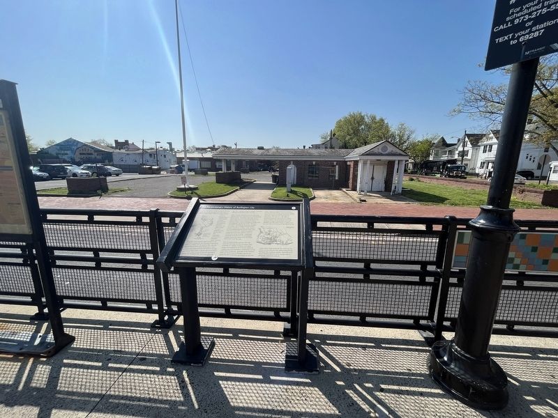
Location. 40° 4.644′ N, 74° 51.559′ W. Marker is in Burlington, New Jersey, in Burlington County. Marker is on West Broad Street east of Locust Avenue, in the median. Touch for map. Marker is at or near this postal address: 21 W Broad St, Burlington NJ 08016, United States of America. Touch for directions.
Other nearby markers. At least 8 other markers are within walking distance of this marker. Office of the Council of Proprietors and the Surveyor General (within shouting distance of this marker); Ockanickon (within shouting distance of this marker); Grant House (about 300 feet away, measured in a direct line); Old St. Mary's - 1702 (about 400 feet away); Old St. Mary's Church (about 400 feet away); Old St. Mary’s (about 500 feet away); Center of Arts and Culture (about 500 feet away); Founding of St. Mary’s Parish (about 600 feet away). Touch for a list and map of all markers in Burlington.
Credits. This page was last revised on April 22, 2023. It was originally submitted on April 22, 2023, by Devry Becker Jones of Washington, District of Columbia. This page has been viewed 92 times since then and 42 times this year. Photos: 1, 2. submitted on April 22, 2023, by Devry Becker Jones of Washington, District of Columbia.