Bristol in Bristol County, Rhode Island — The American Northeast (New England)
James DeWolf
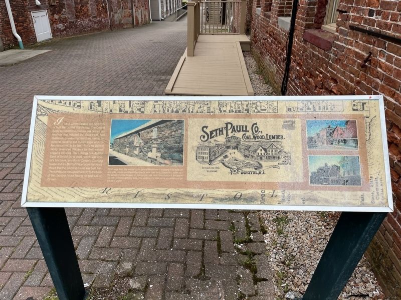
In 1818 James DeWolf and his brother built the DeWolf Warehouse. The DeWolf family engaged in numerous sea-related enterprises that included the slave trade, rum distilleries, privateering, merchant marine, insurance, banking and Cuban sugar and coffee plantations. In the late 1700's the DeWolf family developed this area for their various shipping interests. The buildings included the Bank of Bristol (next door), which was Bristol's first bank, and Byron Diman's Counting House and the DeWolf Warehouse. Evidence shows that the counting house was built first. The warehouse was added directly to the back of the counting house having no east wall of it's own.
[Caption:]
At ten bays deep, the exterior of the DeWolf Warehouse is imposing in its materials and scale. African and West Indies granite were used for its construction, taken from the ballast on ships traveling on the triangle trade route. Intermixed with the granite are red sandstone and gray stone. The windows and door lentils are massive single pieces of granite.
Topics. This historical marker is listed in these topic lists: Agriculture • Colonial Era
this page online
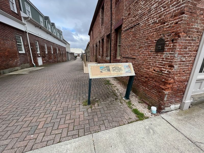
Location. 41° 40.234′ N, 71° 16.69′ W. Marker is in Bristol, Rhode Island, in Bristol County. It is on Thames Street north of State Street, on the left when traveling north. Touch for map. Marker is at or near this postal address: 259 Thames St, Bristol RI 02809, United States of America. Touch for directions.

Regionally, this marker is in Greater Providence and on Narragansett Bay. It is also in the American Northeast, in New England, and on the Eastern Seaboard. Globally, it is in the North Atlantic Region, North America, the Western Hemisphere, the Western World, and the Anglosphere. Historically, it finds itself in what was once one of the original Thirteen Colonies.
Other nearby markers. At least 8 other markers are within walking distance of this marker: Historic Distillery Site (within shouting distance of this marker); Historical Bristol (about 300 feet away, measured in a direct line); The Easterbrooks-Paull Block (about 400 feet away); World War I Memorial / American Legion Memorial Square (about 400 feet away);
Additional keywords. human trafficking
Credits. This page was last revised on May 9, 2023. It was originally submitted on May 9, 2023, by Devry Becker Jones of Washington, District of Columbia. This page has been viewed 464 times since then and 59 times this year. Photos: 1, 2. submitted on May 9, 2023, by Devry Becker Jones of Washington, District of Columbia.
