Barrington in Bristol County, Rhode Island — The American Northeast (New England)
New Meadow Neck
Rivers, Bridges, and an Early Town Center
"When workers were building the Barrington Bridge in 1914, my grandmother, Maria Balia, who lived nearby would serve them drinks that she kept cold in her well. The workers used to go to her house every day and sit under the grape arbor enjoying their cool drinks."
- Eleanor DelSanto, a lifelong Barrington resident (born 1914), who lives "between the bridges"
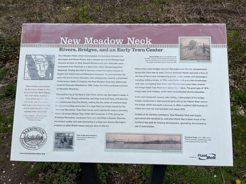
New Meadow Neck, which encompasses the peninsula between the Barrington and Palmer Rivers, was a valuable part of the Wampanoags' Sowams territory. In 1623, Edward Winslow and John Hampden came to Sowams from Plymouth in a diplomatic visit to Wampanoag Chief Massasoit. Finding the chief ill, the men nursed him with a mixture of English and native food and Massasoit recovered. To commemorate this early visit and to honor Hampden, who subsequently became a prominent Parliamentary leader in England, the New Meadow Neck train station was renamed Hampden Meadows in 1890. Today, the entire peninsula is known as Hampden Meadows.
The southern tip of the Neck is Tyler Point, which was Barrington's center in the early 1700s. Sloops, schooners, and brigs were built here, and wharves and warehouses lined the shores, making this the center of maritime trade for the surrounding community. In a large field, the militia trained for the American Revolution. Tyler Point has an early-eighteenth-century cemetery, where Lieutenant Moses Tyler (1734-1811) is buried. In 1778, during the American Revolution, Lieutenant Tyler shot and killed a Hessian (German mercenary) soldier who was attempting to pillage and destroy Barrington property as other British troops had just done in Warren.
Before there were bridges between Barrington and Warren, transportation across the rivers was by boat. Colonel Nathaniel Martin operated a ferry at the foot of Ferry Lane, transporting goods, cattle, horses, and passengers, including military troops. In 1794, John Kelley built a wooden drawbridge, with tolls, connecting Tyler Point with Warren. Eight years later, another toll bridge linked Tyler Point with central Barrington. The great gale of 1815 swept away both bridges, which were reconstructed shortly thereafter.
In the mid-nineteenth century, John Kelley, a descendant of the bridge-builder, constructed a tidal-powered grist mill on the Palmer River next to the bridge, which was quite a success. In 1850, it yielded 7,000 bushels of milled corn and rye, and operated until about 1870.
Outside of its maritime commerce, New Meadow Neck was largely agricultural and remained so until after World War II when much of the farmland was sold for housing development, spurred by the increasing use of automobiles.
[Captions:]
Kelley's
View of Tyler Point Cemetery, looking across the Palmer River toward Warren.
Barrington Bridge, built in 1885, and its 550-foot causeway, with Mathewson Road in the background. Photo circa 1900.
Erected by Barrington Preservation Society.
Topics. This historical marker is listed in these topic lists: Bridges & Viaducts • Cemeteries & Burial Sites • Colonial Era • Industry & Commerce • Native Americans • Settlements & Settlers • War, US Revolutionary • Waterways & Vessels. A significant historical year for this entry is 1914.
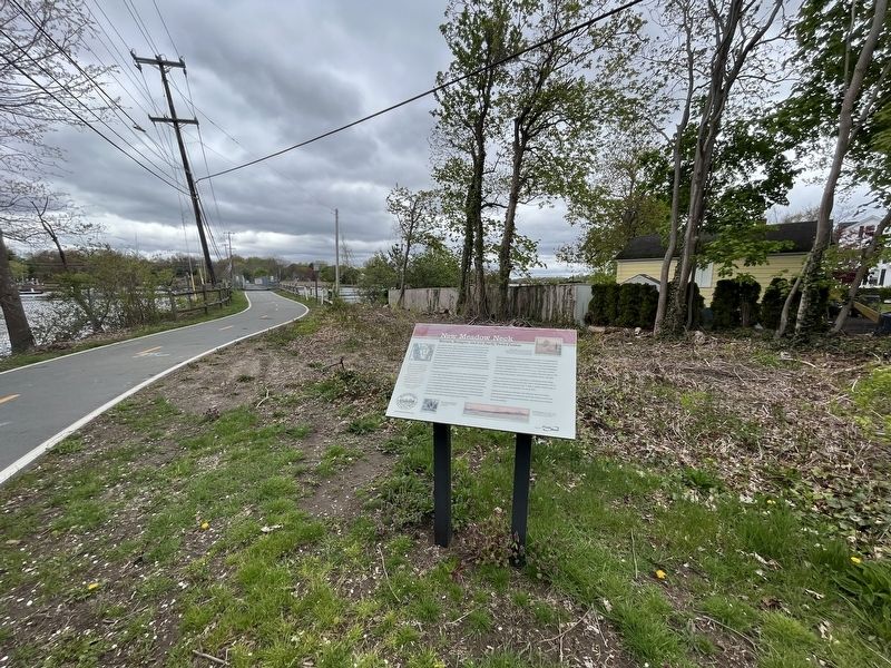
Location. 41° 44.26′ N, 71° 17.668′ W. Marker is in Barrington, Rhode Island, in Bristol County. Marker is at the intersection of East Bay Bike Path and New Meadow Road, on the right when traveling west on East Bay Bike Path. Touch for map. Marker is at or near this postal address: 14 New Meadow Rd, Barrington RI 02806, United States of America. Touch for directions.
Other nearby markers. At least 8 other markers are within walking distance of this marker. Police Cove (approx. 0.2 miles away); The Warren Bridge (approx. 0.3 miles away); Barrington Center (approx. half a mile away); William Schaff (approx. 0.6 miles away); The Oyster Industry (approx. 0.7 miles away); Massasoit Park Sacred Circle Monument (approx. 0.7 miles away); The Middle Passage (approx. ¾ mile away); Baptist Church in Warren, R.I. (approx. ¾ mile away). Touch for a list and map of all markers in Barrington.
Credits. This page was last revised on May 10, 2023. It was originally submitted on May 10, 2023, by Devry Becker Jones of Washington, District of Columbia. This page has been viewed 97 times since then and 34 times this year. Photos: 1, 2. submitted on May 10, 2023, by Devry Becker Jones of Washington, District of Columbia.

