Delmar Township near Wellsboro in Tioga County, Pennsylvania — The American Northeast (Mid-Atlantic)
Habitat Improvement at the Lake
Photographed by William Fischer, Jr., May 10, 2023
1. Habitat Improvement at the Lake Marker
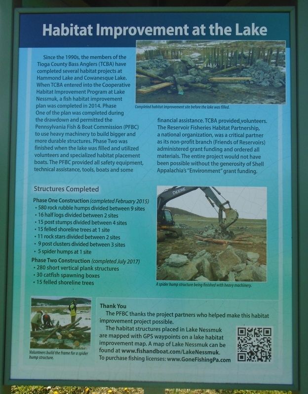
Since the 1990s, the members of the Tioga County Bass Anglers (TCBA) have completed several habitat projects at Hammond Lake and Cowanesque Lake. When TCBA entered into the Cooperative Habitat Improvement Program at Lake Nessmuk, a fish habitat improvement plan was completed in 2014.
Phase One of the plan was completed during the drawdown and permitted the Pennsylvania Fish & Boat Commission (PFBC) to use heavy machinery to build bigger and more durable structures.
Phase Two was finished when the lake was filled and utilized volunteers and specialized habitat placement boats. The PFBC provided all safety equipment, technical assistance, tools, boats and some financial assistance. TCBA provided volunteers. The Reservoir Fisheries Habitat Partnership, a national organization, was a critical partner as its non-profit branch (Friends of Reservoirs) administered grant funding and ordered all materials. The entire project would not have been possible without the generosity of Shell Appalachia's "Environment" grant funding.
Structures Completed
Phase One Construction (completed February 2015)
• 580 rock rubble humps divided
this page online
• 16 half logs divided between 2 sites
• 15 post stumps divided between 4 sites
• 15 felled shoreline trees at 1 site
• 11 rock stars divided between 2 sites
• 9 post clusters divided between 3 sites
• 5 spider humps at 1 site
Phase Two Construction (completed July 2017)
• 280 short vertical plank structures
• 30 catfish spawning boxes
• 15 felled shoreline trees
Thank You
The PFBC thanks the project partners who helped make this habitat improvement project possible.
The habitat structures placed in Lake Nessmuk are mapped with GPS waypoints on a lake habitat improvement map. A map of Lake Nessmuk can be found at www.fishandboat.com/LakeNessmuk. To purchase fishing licenses: www.Gone FishingPa.com
[Photo captions, top to bottom, read]
• Completed habitat improvement site before the lake was filled.
• A spider hump structure being finished with heavy machinery.
• Volunteers build the frame for a spider hump structure.
Erected by Pennsylvania Fish & Boat Commission.
Topics. This historical marker is listed in these topic lists: Environment • Parks & Recreational Areas • Waterways & Vessels. A significant historical month for this entry is February 2015.
Location. 41° 43.618′ N,
Photographed by William Fischer, Jr., May 10, 2023
2. Habitat Improvement at the Lake Marker

Regionally, this marker is in the Pennsylvania Wilds. It is also in the American Northeast, in the Mid-Atlantic, in Appalachia, and specifically in Northern Appalachia. Globally, it is in North America, the Western Hemisphere, the Western World, and the Anglosphere. Historically, it finds itself in what was once the Haudenosaunee (Iroquois) Confederacy and also one of the original Thirteen Colonies.
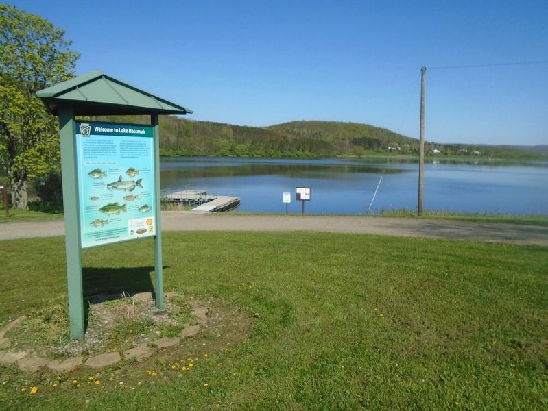
Other nearby markers. At least 8 other markers are within 2 miles of this marker, measured as the crow flies: Welcome to Lake Nessmuk (here, next to this marker); John Magee (approx. 1½ miles away); Wellsboro Area Millstone (approx. 1½ miles away); Soldiers and Sailors Memorial (approx. 1.6 miles away); Nessmuk (approx. 1.6 miles away); Edwin A. VanValkenburg (approx. 1.6 miles away); World War II Memorial (approx. 1.6 miles away); Speaking Stones (approx. 1.6 miles away). Touch for a list and map of all markers in Wellsboro.
Also see . . . Nessmuk Lake. Wikipedia entry (Submitted on July 8, 2023, by Larry Gertner of New York, New York.)
Credits. This page was last revised on July 8, 2023. It was originally submitted on May 11, 2023, by William Fischer, Jr. of Reynoldsburg, Ohio. This page has been viewed 243 times since then and 30 times this year. Photos: 1, 2. submitted on May 11, 2023, by William Fischer, Jr. of Reynoldsburg, Ohio.
