
Near Bridgeport in Morrill County, Nebraska — The American Midwest (Upper Plains)
Amanda Lamme
Photographed by Connor Olson, September 1, 2021
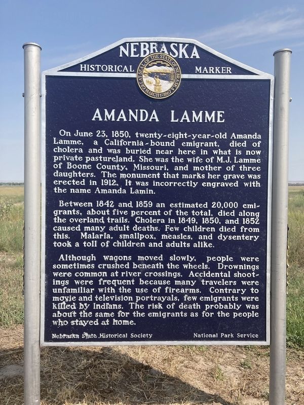
1. Amanda Lamme Marker
On June 23, 1850, twenty-eight-year-old Amanda Lamme, a California-bound emigrant, died of cholera and was buried near here in what is now private pastureland. She was the wife of M.J. Lamme of Boone County, Missouri, and mother of three daughters. The monument that marks her grave was erected in 1912. It was incorrectly engraved with the name Amanda Lamin.
Between 1842 and 1859 an estimated 20,000 emigrants, about five percent of the total, died along the overland trails. Cholera in 1849, 1850, and 1857 caused many adult deaths. Few children died from this. Malaria, smallpox, measles, and dysentery took a toll of children and adults alike.
Although wagons moved slowly, people were sometimes crushed beneath the wheels. Drownings were common at river crossings. Accidental shootings were frequent because many travelers were unfamiliar with the use of firearms. Contrary to movie and television portrayals, few emigrants were killed by Indians. The risk of death probably was about the same for the emigrants as for the people who stayed at home.
Erected by Nebraska State Historical Society; National Park Service.
this page online
Topics and series. This historical marker is listed in these topic lists: Cemeteries & Burial Sites • Roads & Vehicles • Women. In addition, it is included in the Nebraska State Historical Society series list. A significant historical date for this entry is June 23, 1850.
Location. 41° 36.775′ N, 103° 0.221′ W. Marker is near Bridgeport, Nebraska, in Morrill County. It is at the intersection of Gold Rush Byway (U.S. 385) and Local Road 86, on the right when traveling north on Gold Rush Byway. Touch for map. Marker is in this post office area: Bridgeport NE 69336, United States of America. Touch for directions.

Regionally, this marker is in the Nebraska Panhandle. It is also in the American Midwest, in the Corn Belt, on the prairies, on the Great Plains, and specifically on the High Plains. Globally, it is in North America, the Western Hemisphere, the Western World, and the Anglosphere. Historically, it finds itself in what was once the Louisiana Purchase.
Other nearby markers. At least 8 other markers are within 9 miles of this marker, measured as the crow flies: Guiding Landmarks (approx. 4.6 miles
Photographed by Connor Olson, September 1, 2021
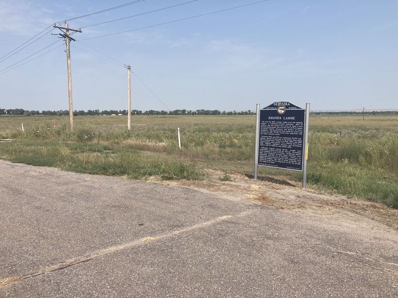
2. Amanda Lamme Marker
courtesy of the Denver Public Library, 1929
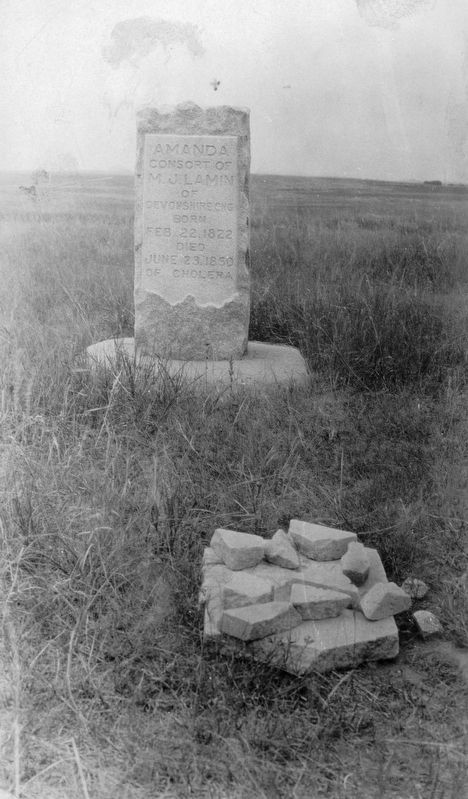
3. Tombstone for "Amanda Lamin"
View of a stone grave marker on the Oregon Trail in Bridgeport (Morill County), Nebraska; inscription reads: "Amanda Consort of M. J. Lamin of Devonshire Eng. born Feb. 22, 1822, died June 23, 1850 of Cholera."
Credits. This page was last revised on December 22, 2024. It was originally submitted on September 1, 2021, by Connor Olson of Menomonee Falls, Wisconsin. This page has been viewed 1,368 times since then and 104 times this year. Last updated on May 14, 2023, by Jeff Leichsenring of Garland, Texas. Photos: 1, 2. submitted on September 1, 2021, by Connor Olson of Menomonee Falls, Wisconsin. 3. submitted on September 2, 2021. • J. Makali Bruton was the editor who published this page.
