Near Alamo in Hidalgo County, Texas — The American South (West South Central)
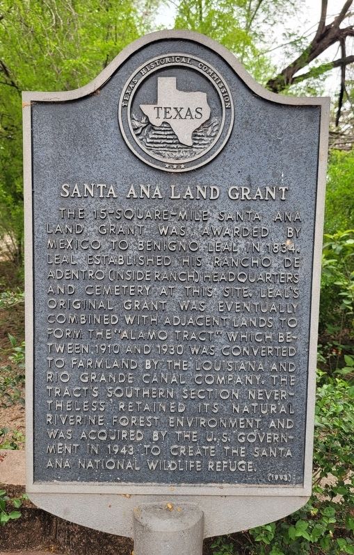
Santa Ana Land Grant
Erected 1993 by Texas Historical Commission. (Marker Number 4570.)
Topics. This historical marker is listed in these topic lists: Hispanic Americans • Immigration • Parks & Recreational Areas. A significant historical year for this entry is 1834.
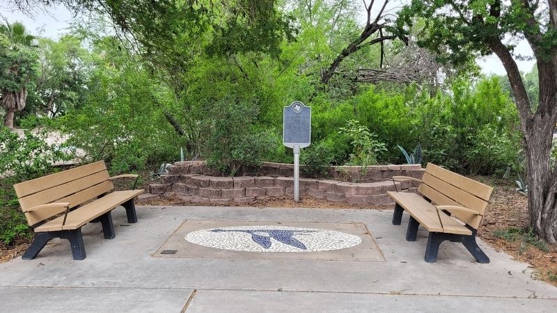
Location. 26° 4.957′ N, 98° 8.131′ W. Marker is near Alamo, Texas, in Hidalgo County. Marker can be reached from Green Jay Road, 0.1 miles south of Military Highway (U.S. 281). The marker is located at the entrance to the Santa Ana National Wildlife Refuge Visitor Center. Touch for map. Marker is at or near this postal address: 3325 Green Jay Road, Alamo TX 78516, United States of America. Touch for directions.
Other nearby markers. At least 8 other markers are within 7 miles of this marker, measured as the crow flies. Eli Jackson Cemetery (approx. 3.1 miles away); Jackson Ranch Church (approx. 3.1 miles away); Louisiana-Rio Grande Canal Company (approx. 4.2 miles away); Asadores Ranch (approx. 4.3 miles away); Handy Ranch (approx. 4.3 miles away); Run (approx. 4.3 miles away); Donna Public Schools (approx. 4.6 miles away); Saint Joseph Catholic Church (approx. 6.8 miles away).
Credits. This page was last revised on May 17, 2023. It was originally submitted on May 16, 2023, by James Hulse of Medina, Texas. This page has been viewed 93 times since then and 31 times this year. Photos: 1, 2. submitted on May 17, 2023, by James Hulse of Medina, Texas.

