Highland Park in Saint Paul in Ramsey County, Minnesota — The American Midwest (Upper Plains)
Hidden Falls
and Early Preservation of the Mississippi River Gorge
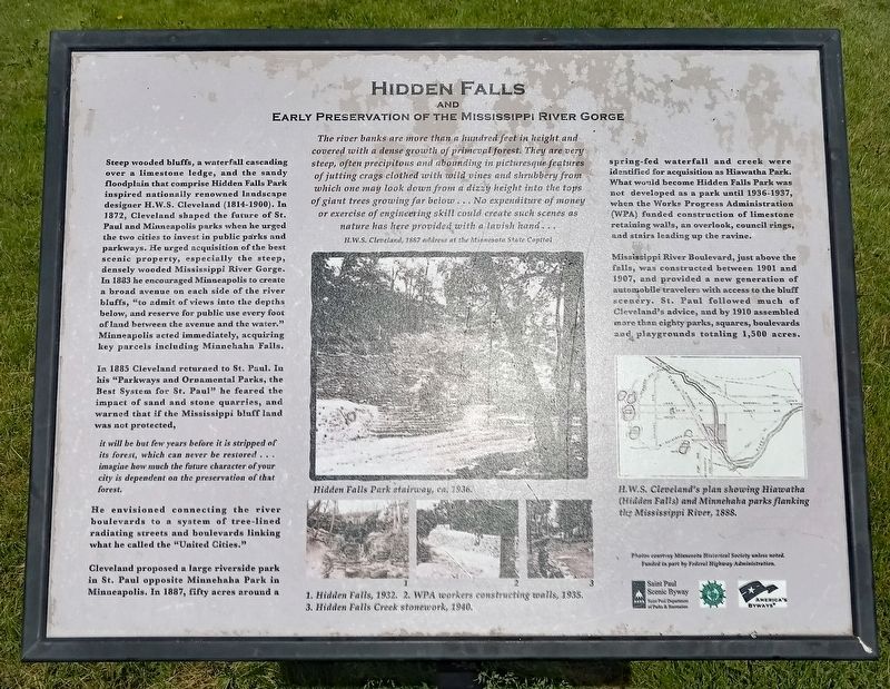
The river banks are more than a hundred feet in height and covered with a dense growth of primeval forest. They are very steep, often precipitous and abounding in picturesque features of jutting crags clothed with wild vines and shrubbery from which one may look down from a dizzy height into the tops of giant trees growing far below ... No expenditure of money or exercise of engineering skill could create such scenes as nature has here provided with a lavish hand...
H.W.S. Cleveland, 1887 address at the Minnesota State Capitol
Steep wooded bluffs, a waterfall cascading over a limestone ledge, and the sandy floodplain that comprise Hidden Falls Park inspired nationally renowned landscape designer H.W.S. Cleveland (1814-1900). In 1872, Cleveland shaped the future of St. Paul and Minneapolis parks when he urged the two cities to invest in public parks and parkways. He urged acquisition of the best scenic property, especially the steep, densely wooded Mississippi River Gorge. In 1883 he encouraged Minneapolis to create a broad avenue on each side of the river bluffs, "to admit of views into the depths below, and reserve for public use every foot of land between the avenue and the water." Minneapolis aced immediately, acquiring key parcels including Minnehaha Falls.
In 1885 Cleveland returned to St. Paul. In his "Parkways and Ornamental Parks, the Best System for St. Paul" he feared the impact of sand and stone quarries, and warned that if the Mississippi bluff land was not protected,
it will be but few years before it is stripped of its forest, which can never be restored... imagine how much the future character of your city is dependent on the preservation of that forest.
He envisioned connecting the river boulevards to a system of tree-lined radiating streets and boulevards linking what he called the "United Cities."
Cleveland proposed a large riverside park in St. Paul opposite Minnehaha Park in Minneapolis. In 1887, fifty acres around a spring-fed waterfall and creek were identified for acquisition as Hiawatha Park. What would become Hidden Falls Park was not developed as a part until 1936-1937, when the Works Progress Administration (WPA) funded construction of limestone retaining walls, an overlook, council rings, and stairs leading up the ravine.
Mississippi River Boulevard, just above the falls, was constructed between 1901 and 1907, and provided a new generation of automobile travelers with access to the bluff scenery. St. Paul followed much of Cleveland's advice, and by 1910 assembled more than eighty parks, squares, boulevards and playgrounds totaling 1,500 acres.
Hidden Falls Park stairway, ca. 1936.
1. Hidden Falls, 1932. 2. WPA workers constructing walls, 1935. 3. Hidden Falls Creek stonework, 1940.
H.W.S. Cleveland's plan showing Hiawatha (Hidden Falls) and Minnehaha parks flanking the Mississippi River, 1888.
Erected by Saint Paul Department of Parks and Recreation, Federal Highway Commission, Great River Road Minnesota, America's Byways.
Topics. This historical marker is listed in these topic lists: Environment • Parks & Recreational Areas • Roads & Vehicles • Waterways & Vessels. A significant historical year for this entry is 1872.
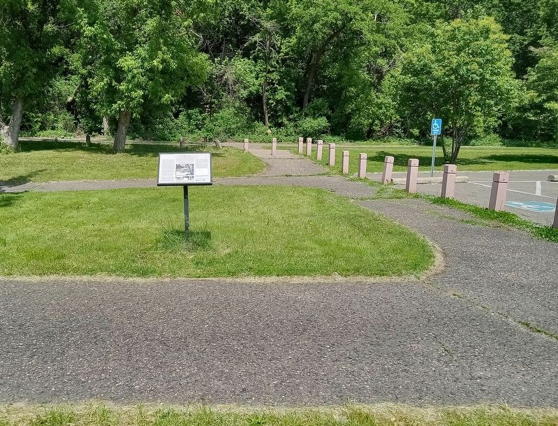
Location. 44° 54.426′ N, 93° 11.501′ W. Marker is in Saint Paul, Minnesota, in Ramsey County. It is in Highland Park. Marker is on Hidden Falls Drive south of Mississippi River Boulevard S, on the right when traveling south. The marker is in Hidden Falls Regional Park, at the north end of the parking lot off the north entrance to the park. Touch for map. Marker is at or near this postal address: 1415 Mississippi River Boulevard S, Saint Paul MN 55116, United States of America. Touch for directions.
Other nearby markers. At least 8 other markers are within walking distance of this marker. Welcome to Fort Snelling State Park (approx. 0.3 miles away); Engineering the Mississippi / Ford Motor Company (approx. 0.6 miles away); Hydro Electric Turbine (approx. 0.6 miles away); The Lock and Dam No. 1 Story (approx. ¾ mile away); Wing Dams (approx. ¾ mile away); Big Water / Stairway of Water (approx. ¾ mile away); Whiskey (approx. 0.9 miles away); Travel through 10,000 years of human history (approx. one mile away). Touch for a list and map of all markers in Saint Paul.
Credits. This page was last revised on July 11, 2023. It was originally submitted on July 10, 2023, by McGhiever of Minneapolis, Minnesota. This page has been viewed 111 times since then and 31 times this year. Photos: 1, 2. submitted on July 10, 2023, by McGhiever of Minneapolis, Minnesota. • J. Makali Bruton was the editor who published this page.

