Deerfield in Franklin County, Massachusetts — The American Northeast (New England)
agriculture
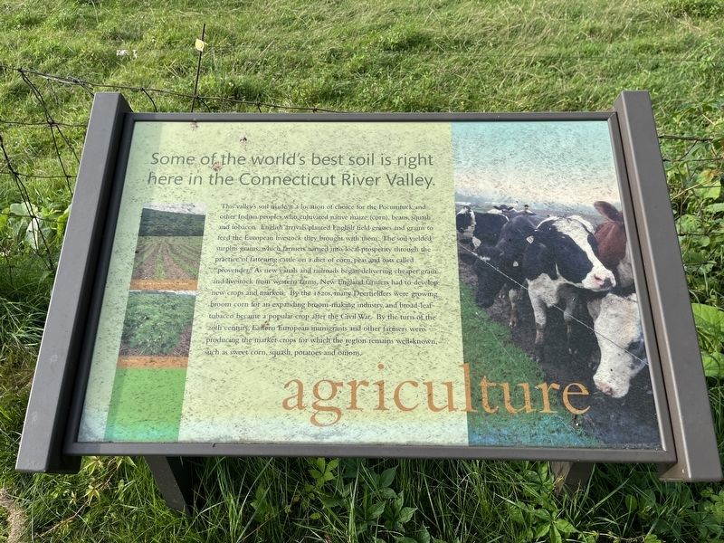
Some of the world's best soil is right here in the Connecticut River Valley.
The valley's soil made it a location of choice for the Pocumtuck and other Indian peoples who cultivated native maize (corn), beans, squash and tobacco. English arrivals planted English field grasses and grains to feed the European livestock they brought with them. The soil yielded surplus grains, which farmers turned into local prosperity through the practice of fattening cattle on a diet of corn, peas and oats called "provender." As new canals and railroads began delivering cheaper grain and livestock from western farms, New England farmers had to develop new crops and markets. By the 1820s, many Deerfielders were growing broom corn for an expanding broom-making industry, and broad-leaf tobacco became a popular crop after the Civil War. By the turn of the 20th century, Eastern European immigrants and other farmers were producing market crops for which the region remains well-known, such as sweet corn, squash, potatoes and onions.
Topics. This historical marker is listed in these topic lists: Agriculture • Colonial Era • Immigration • Industry & Commerce • Native Americans.
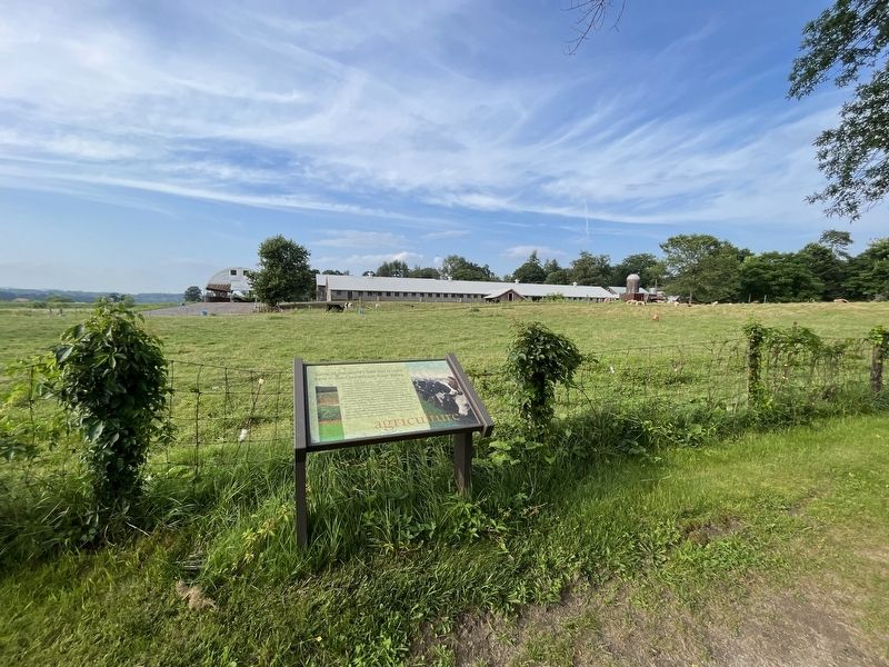
Location. 42° 32.943′ N, 72° 36.353′ W. Marker is in Deerfield, Massachusetts, in Franklin County. Marker can be reached from Old Main Street north of Academy Lane, on the right when traveling south. Touch for map. Marker is at or near this postal address: 95 Old Main St, Deerfield MA 01342, United States of America. Touch for directions.
Other nearby markers. At least 8 other markers are within walking distance of this marker. farm & house (within shouting distance of this marker); flood & mud (about 300 feet away, measured in a direct line); history (about 400 feet away); preservation (about 500 feet away); nature & culture (about 500 feet away); Peter / Adam (about 500 feet away); Moors House (about 500 feet away); Reproduction of the Old Indian House (about 600 feet away). Touch for a list and map of all markers in Deerfield.
Credits. This page was last revised on August 14, 2023. It was originally submitted on August 14, 2023, by Devry Becker Jones of Washington, District of Columbia. This page has been viewed 52 times since then and 12 times this year. Photos: 1, 2. submitted on August 14, 2023, by Devry Becker Jones of Washington, District of Columbia.

