
Near Rockdale in Will County, Illinois — The American Midwest (Great Lakes)
Joliet Mound

Photographed by Duane and Tracy Marsteller, July 9, 2023
1. Joliet Mound Marker
Erected 1971 by Will County Historical Society • Illinois State Historical Society.
Topics and series. This historical marker is listed in these topic lists: Colonial Era • Exploration • Natural Features • Waterways & Vessels. In addition, it is included in the Illinois State Historical Society series list. A significant historical year for this entry is 1974.
Location. 41° 29.979′ N, 88° 7.459′ W. Marker is near Rockdale, Illinois, in Will County. It is on South Larkin Avenue (Illinois Route 7) south of Mound Road, on the right when traveling south. Touch for map. Marker is at or near this postal address: 1655 S Larkin Ave, Joliet IL 60436, United States of America. Touch for directions.

Regionally, this marker is in Greater Chicago. It is also
this page online
Other nearby markers. At least 8 other markers are within 3 miles of this marker, measured as the crow flies: McDonough Street Bridge (approx. 2.2 miles away); Natividad Guiterrez (approx. 2.4 miles away); Edwin Porter's Brewery (approx. 2½ miles away); Joliet/Juliet's First Log Cabin (approx. 2.6 miles away); "Bluff Street" (approx. 2.6 miles away); Joliet's First Stone Building (approx. 2.6 miles away); A Corridor in Time: The Illinois and Michigan Canal (approx. 2.6 miles away); Bicentennial Park (approx. 2.6 miles away).
Regarding Joliet Mound. Composed of sand, gravel and clay deposits, the mound stood some 60 feet high and was 450 yards long and 75 yards wide. It was formed naturally, and not by Indians as some early explorers and settlers had surmised, but the mound was the site of a pivotal moment in Native American history. During a peace
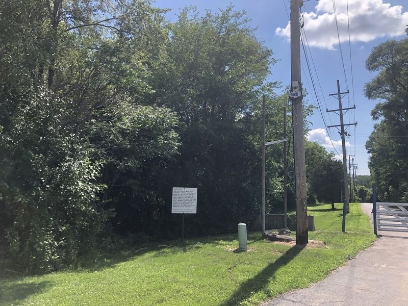
Photographed by Duane and Tracy Marsteller, July 9, 2023
2. Joliet Mound Marker
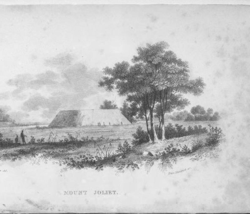
Henry Inman via Library of Congress Prints and Photographs Division (Public Domain), circa 1825
3. Joliet Mound
This illustration appeared in Travels in the central portions of the Mississippi Valley by Henry Rowe Schoolcraft, leader of the U.S. government expedition.
Credits. This page was last revised on February 11, 2026. It was originally submitted on August 19, 2023, by Duane and Tracy Marsteller of Murfreesboro, Tennessee. This page has been viewed 2,440 times since then and 335 times this year. Photos: 1, 2, 3. submitted on August 19, 2023, by Duane and Tracy Marsteller of Murfreesboro, Tennessee.
