Warner Springs in San Diego County, California — The American West (Pacific Coastal)
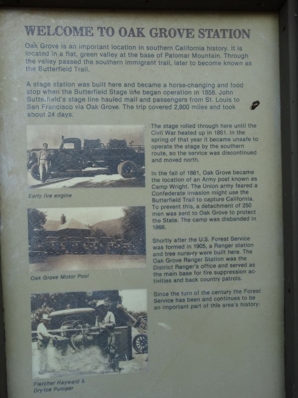
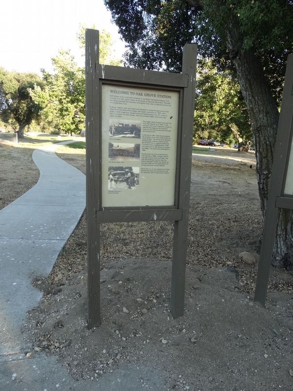
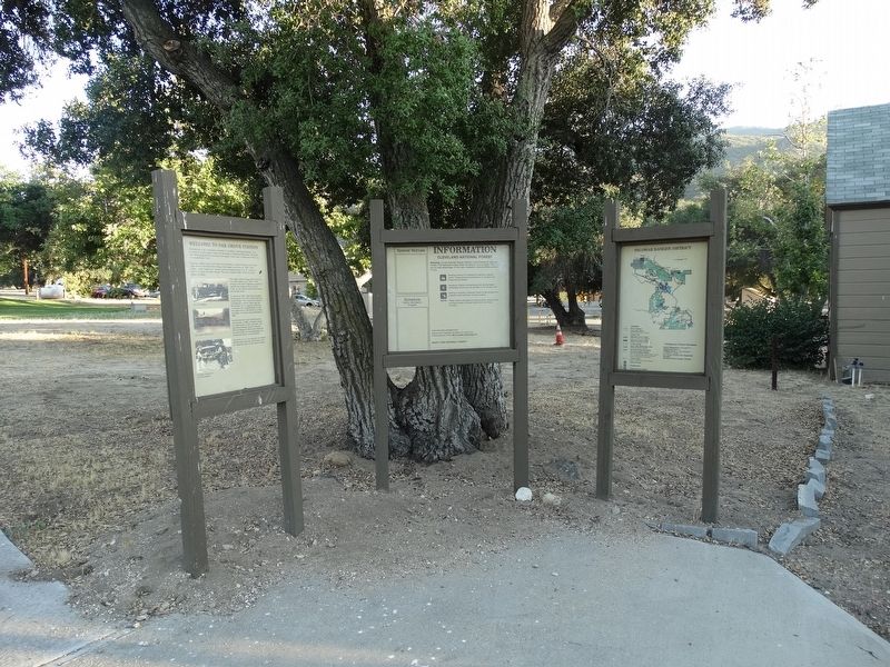
Welcome To Oak Grove Station
A stage station was built here and became a horse changing and food stop when the Butterfield Stage line began operation in 1858. John Butterfield’s stage line hauled mail and passengers from St. Louis to San Francisco via Oak Grove. The trip covered 2,800 miles and took about 24 days.
The stage rolled through here until the Civil War heated up in 1861. In the spring of that year it became unsafe to operate the stage by the southern routes, so the service was discontinued and moved north.
In the fall of 1861, Oak Grove became the location of an Army post known as Camp Wright. The Union army feared a Confederate invasion might use the Butterfield Trail to capture California. To prevent this, a detachment of 250 men was sent to Oak Grove to protect the State. The camp was disbanded in 1866.
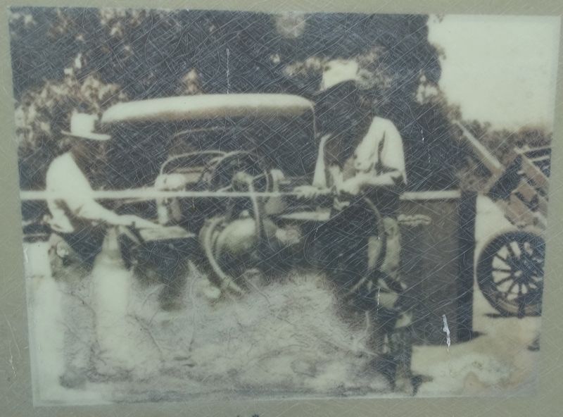
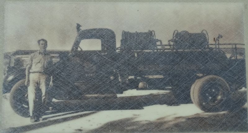
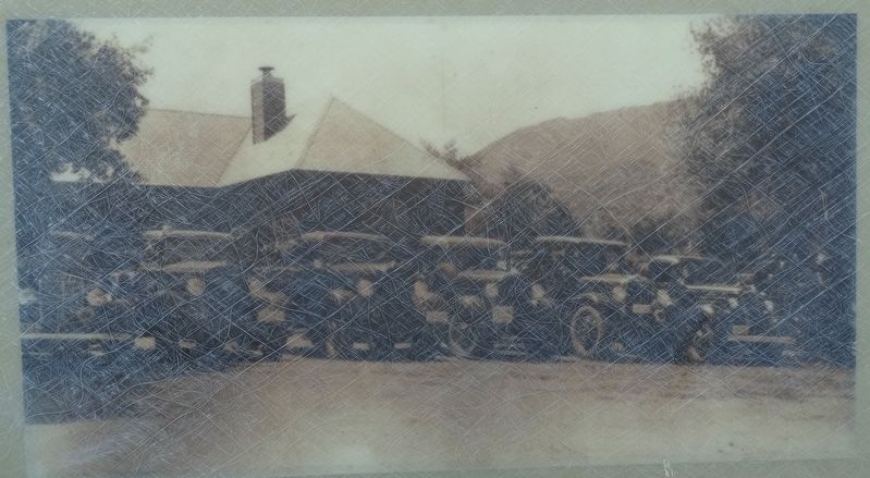
Shortly after the U.S. Forest Service was formed in 1905, a Ranger station and tree nursery were built here. The Oak Grove Ranger Station was the District Ranger’s office and served as the main base for fire suppression activities and backcountry patrols.
Since the turn of the century the Forest Service has been and continues to be important part of this area’s history.
Topics. This historical marker is listed in these topic lists: Agriculture • Parks & Recreational Areas • Roads & Vehicles • War, US Civil. A significant historical year for this entry is 1858.
Location. 33° 23.176′ N, 116° 47.501′ W. Marker is in Warner Springs, California, in San Diego County. Marker is on California Route 79, 0.1 miles north of Woodbridge Lane, on the left when traveling north. Touch for map. Marker is at or near this postal address: 37560 Highway 79, Warner Springs CA 92086, United States of America. Touch for directions.
Other nearby markers. At least 8 other markers are within 13 miles of this marker, measured as the crow flies. U.S. Border Patrol - Theodore L. Newton, Jr. and George F. Azrak (a few steps from this marker); Camp Wright (approx. 0.2 miles away); Oak Grove Stage Station (approx. 0.3 miles away); Jacob Bergman (approx. 7.2 miles away); U.S. Mormon Battalion Trail (approx. 7½ miles away); Cottonwood School (approx. 9½ miles away); Warner Ranch House (approx. 12.3 miles away); Dripping Springs Watering Hole (approx. 12.9 miles away). Touch for a list and map of all markers in Warner Springs.
Credits. This page was last revised on September 20, 2023. It was originally submitted on September 19, 2023, by Denise Boose of Tehachapi, California. This page has been viewed 82 times since then and 35 times this year. Photos: 1, 2, 3, 4, 5, 6. submitted on September 19, 2023, by Denise Boose of Tehachapi, California. • Bernard Fisher was the editor who published this page.
