Grimsby in Niagara Region, Ontario — Central Canada (North America)
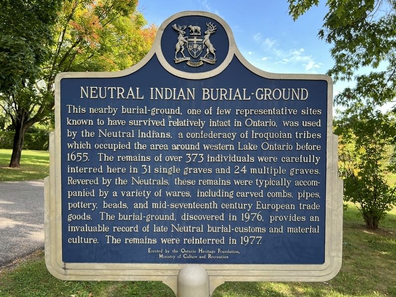
Neutral Indian Burial-Ground
This nearby burial-ground, one of few representative sites known to have survived relatively intact in Ontario, was used by the Neutral Indians, a confederacy of Iroquoian tribes which occupied the area around western Lake Ontario before 1655. The remains of over 373 individuals were carefully interred here in 31 single graves and 24 multiple graves. Revered by the Neutrals, these remains were typically accompanied by a variety of wares, including carved combs, pipes, pottery, beads, and mid-seventeenth century European trade goods. The burial-ground, discovered in 1976, provides an invaluable record of late Neutral burial-customs and material culture. The remains were reinterred in 1977. Erected by the Ontario Heritage Foundation, Ministry of Culture and Recreation.
Erected by Ontario Heritage Foundation.
Topics and series. This historical marker is listed in these topic lists: Anthropology & Archaeology • Cemeteries & Burial Sites • Native Americans. In addition, it is included in the Canada, Ontario Heritage Foundation series list. A significant historical year for this entry is 1655.
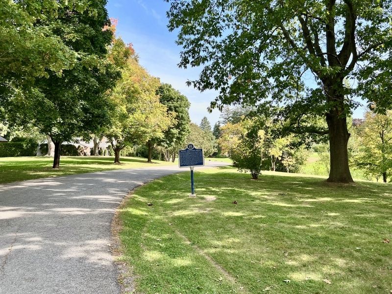
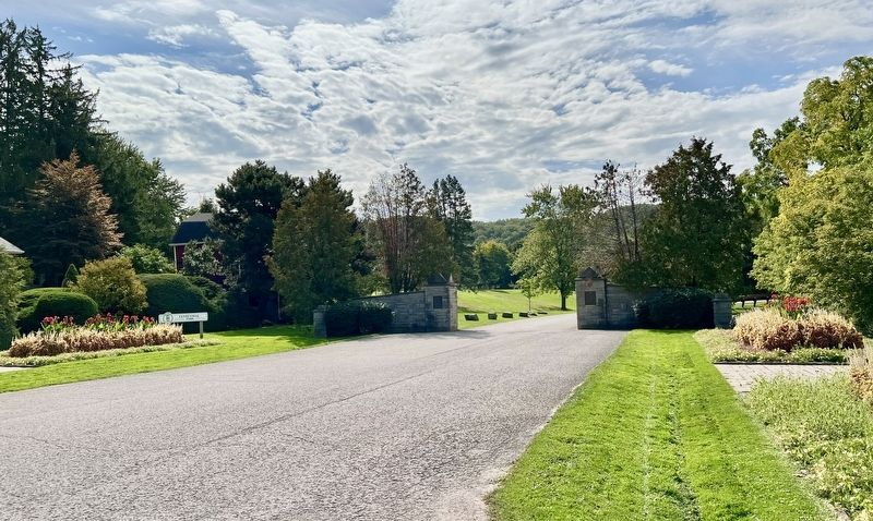
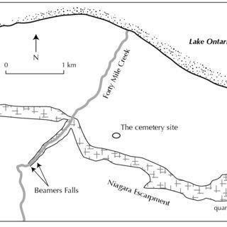
Location. 43° 11.329′ N, 79° 33.163′ W. Marker is in Grimsby, Ontario, in Niagara Region. The marker is in Grimsby’s Centennial Park, approx. 200 metres from the entrance at Main Street East. Touch for map. Marker is in this post office area: Grimsby ON L3M 4K8, Canada. Touch for directions.
Other nearby markers. At least 8 other markers are within 2 kilometers of this marker, measured as the crow flies. First Town Meeting (approx. 1.2 kilometers away); Grimsby Town Bell (approx. 1.2 kilometers away); Colonel Robert Nelles 1761-1842 (approx. 1.3 kilometers away); St. Andrew’s Anglican Church (approx. 1.5 kilometers away); Engagement at the Forty Mile Creek (approx. 1.7 kilometers away); The War of 1812 (approx. 1.7 kilometers away); Forty Mile Creek (approx. 1.7 kilometers away); Grimsby 1812 Bicentennial Flagpole (approx. 1.7 kilometers away). Touch for a list and map of all markers in Grimsby.
Also see . . . Who Were The Neutral People?. Canadian Heritage Matters website entry (Submitted on October 6, 2023, by Larry Gertner of New York, New York.)
Credits. This page was last revised on November 14, 2023. It was originally submitted on September 29, 2023, by Tim Boyd of Hamilton, Ontario. This page has been viewed 90 times since then and 44 times this year. Photos: 1, 2, 3, 4. submitted on September 29, 2023, by Tim Boyd of Hamilton, Ontario. • Andrew Ruppenstein was the editor who published this page.


