Pinson in Madison County, Tennessee — The American South (East South Central)
Sauls Mound
Pinson Mounds State Archaeological Park

Photographed by James Hulse, October 1, 2023
1. Sauls Mound Marker
Sauls Mound got its name from a previous owner of the site and is easily the most visually impressive earthwork at Pinson Mounds. The mound was built in a series of construction stages, beginning about 2000 years ago, by dumping and compacting basket load after basket load of soil. The base of the mound is rectangular with each corner aligned with a cardinal direction. It may be difficult to imagine the tremendous effort and thousands of person hours of labor that were required to construct this earthwork.
Captions
Upper Left: Sauls Mound is aligned with Mound 28, in the northeastern corner of the complex, along the line of the summer solstice sunrise.
Lower Left: The great height of Sauls Mound may have been achieved by workers whose dedication came from strong belief.
Erected by Tennessee State Parks.
Topics. This historical marker is listed in these topic lists: Anthropology & Archaeology • Indigenous Peoples and Communities • Parks & Recreational Areas. A significant historical year for this entry is 1 CE.
Location. 35° 29.702′ N,
this page online

Regionally, this marker is in West Tennessee. It is also in the American South, specifically in the Deep South, and specifically in the Upper South. Globally, it is in North America, the Western Hemisphere, the Western World, and the Anglosphere. Historically, it finds itself in what was once the territory of the Mississippian Culture, one of the Confederate States of America, and the Antebellum South.
Other nearby markers. At least 8 other markers are within walking distance of this marker: A different marker also named Sauls Mound (a few steps from this marker); Mound 10 (about 400 feet away, measured in a direct line); The Barrow Pit and Mound 12 (about 500 feet away); The Barrow Pit (about 500 feet away); Mound 12 (about 700 feet away); The Pinson, Bray and Johnston Sites

Photographed by James Hulse, October 1, 2023
2. Sauls Mound and Marker
Also see . . . Pinson Mounds. Wikipedia (Submitted on October 14, 2023, by James Hulse of Medina, Texas.)

Photographed by James Hulse, October 1, 2023
3. The front side of Sauls Mound from the north
Photographed by James Hulse, October 1, 2023
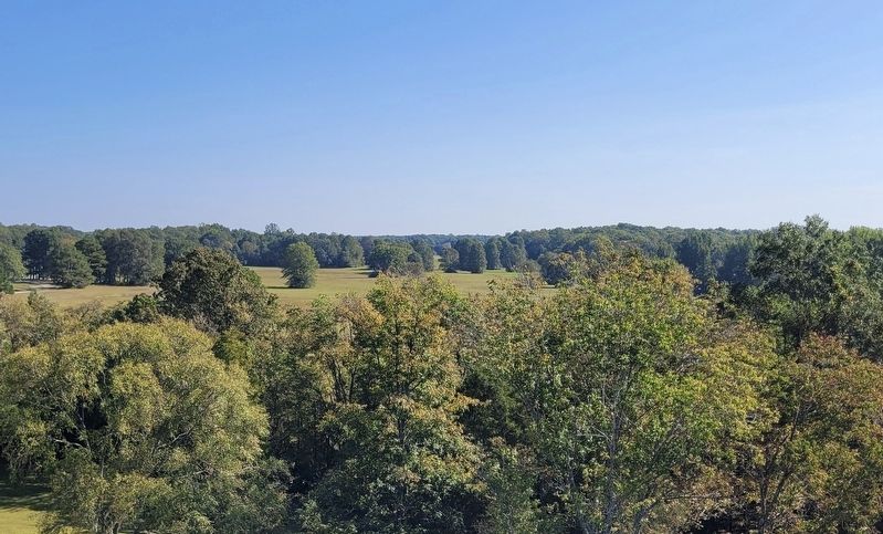
4. The view from Sauls Mound
Credits. This page was last revised on October 14, 2023. It was originally submitted on October 14, 2023, by James Hulse of Medina, Texas. This page has been viewed 278 times since then and 45 times this year. Photos: 1, 2, 3, 4. submitted on October 14, 2023, by James Hulse of Medina, Texas.
