Pinson in Madison County, Tennessee — The American South (East South Central)
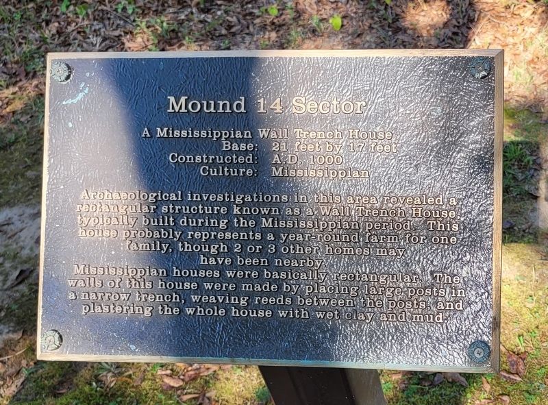
Mound 14 Sector
Photographed by James Hulse, October 1, 2023
1. Mound 14 Sector Marker
Base: 21 feet by 17 feet
Constructed: A.D. 1000
Culture: Mississippian
Archaeological investigations in this area revealed a rectangular structure known as a Wall Trench House, typically built during the Mississippian period. This house probably represents a year-round farm for one family, though 2 or 3 other homes may have been nearby. Mississippian houses were basically rectangular. The walls of this house were made by placing large posts in a narrow trench, weaving reeds between the posts, and plastering the whole house with wet clay and mud.
Erected by Pinson Mounds State Archaeological Park.
Topics. This historical marker is listed in these topic lists: Anthropology & Archaeology • Indigenous Peoples and Communities • Parks & Recreational Areas.
Location. 35° 29.576′ N, 88° 41.126′ W. Marker is in Pinson, Tennessee, in Madison County. It is on Pinson Mound Road 0.8 miles south of Ozier Road (Tennessee Route 197). The marker is located south of the Pinson Mounds State Archaeological Park Museum along the hiking
this page online

Regionally, this marker is in West Tennessee. It is also in the American South, specifically in the Deep South, and specifically in the Upper South. Globally, it is in North America, the Western Hemisphere, the Western World, and the Anglosphere. Historically, it finds itself in what was once the territory of the Mississippian Culture, one of the Confederate States of America, and the Antebellum South.
Other nearby markers. At least 8 other markers are within walking distance of this marker: Latter Mississippian Presence (here, next to this marker); Mound 12 (about 500 feet away, measured in a direct line); Mound 15 (about 600 feet away); The Barrow Pit (approx. 0.2 miles away); The Barrow Pit and Mound 12 (approx. 0.2 miles away); Sauls Mound (approx. ¼ mile away); a different marker also named Sauls Mound (approx. ¼ mile away); Mound 10 (approx. 0.3 miles away). Touch for a list and map of all markers in Pinson.
Also see . . . Pinson Mounds. Wikipedia (Submitted on October 14, 2023, by James Hulse of Medina, Texas.)
Photographed by James Hulse, October 1, 2023
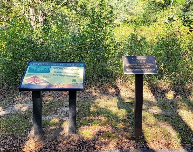
2. The Mound 14 Sector Marker is the right marker of the two markers
Photographed by James Hulse, October 1, 2023
3. The view of the markers along the trail
Credits. This page was last revised on October 14, 2023. It was originally submitted on October 14, 2023, by James Hulse of Medina, Texas. This page has been viewed 138 times since then and 10 times this year. Photos: 1, 2, 3. submitted on October 14, 2023, by James Hulse of Medina, Texas.
