Pinson in Madison County, Tennessee — The American South (East South Central)
Mound 15
Photographed by James Hulse, October 1, 2023
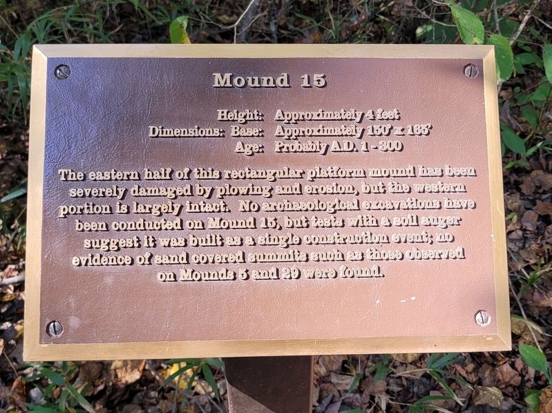
1. Mound 15 Marker
Dimensions: Base: Approximately 150 x 165
Age: Probably A.D. 1-300
The eastern half of this rectangular platform mound has been severely damaged by plowing and erosion, but the western portion is largely intact. No archaeological excavations have been conducted on Mound 15, but tests with a soil auger suggest it was built as a single construction event; no evidence of sand covered summits such as those observed on Mounds 5 and 29 were found.
Erected by Pinson Mounds State Archaeological Park.
Topics. This historical marker is listed in these topic lists: Anthropology & Archaeology • Indigenous Peoples and Communities • Parks & Recreational Areas. A significant historical year for this entry is 1 CE.
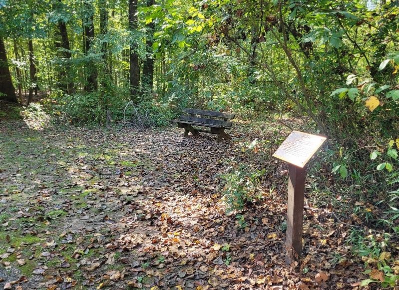
Location. 35° 29.469′ N, 88° 41.123′ W. Marker is in Pinson, Tennessee, in Madison County. It is on Pinson Mound Road 0.8 miles south of Ozier Road (Route 197). The marker is located south of the Pinson Mounds State Archaeological Park Museum along the hiking trail. Touch for map. Marker is in this post office area: Pinson TN 38366, United States of America. Touch for directions.

Regionally,
this page online
Other nearby markers. At least 8 other markers are within walking distance of this marker: Latter Mississippian Presence (about 600 feet away, measured in a direct line); Mound 14 Sector (about 600 feet away); Mound 12 (approx. 0.2 miles away); The Barrow Pit (approx. ¼ mile away); The Barrow Pit and Mound 12 (approx. ¼ mile away); Sauls Mound (approx. 0.3 miles away); a different marker also named Sauls Mound (approx. 0.3 miles away); Mound 10 (approx. 0.4 miles away). Touch for a list and map of all markers in Pinson.
Also see . . . Pinson Mounds. Wikipedia (Submitted on October 14, 2023, by James Hulse of Medina, Texas.)
Photographed by James Hulse, October 1, 2023
2. The Mound 15 Marker along the trail

Photographed by James Hulse, October 1, 2023
3. The view of the Mound 15 Marker along the trail
Credits. This page was last revised on October 15, 2023. It was originally submitted on October 14, 2023, by James Hulse of Medina, Texas. This page has been viewed 126 times since then and 14 times this year. Photos: 1, 2, 3. submitted on October 14, 2023, by James Hulse of Medina, Texas.
