Central Vancouver in Metro Vancouver, British Columbia — Canada’s West Coast (North America)
Komagata Maru
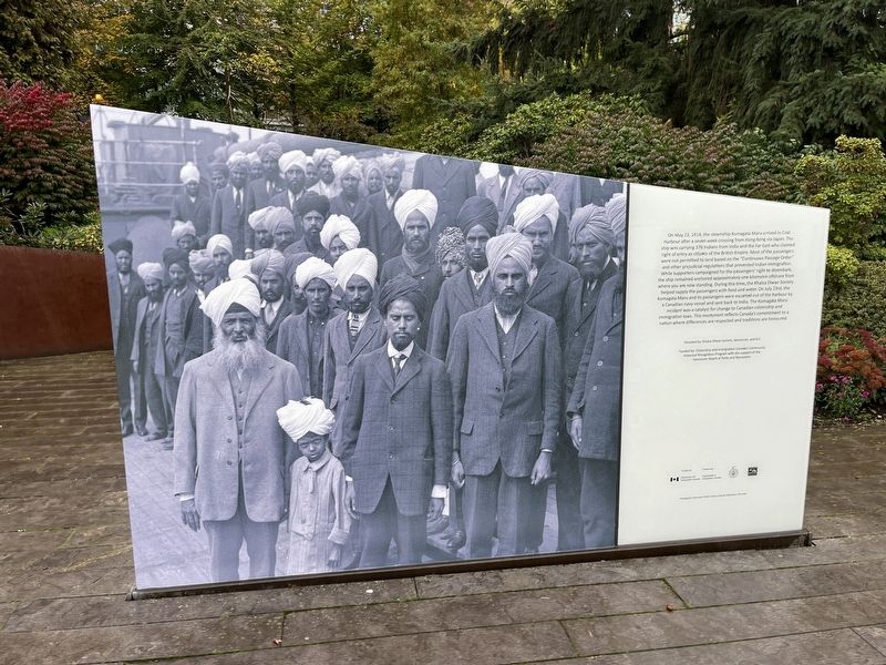
Photographed by Adam Margolis, October 10, 2023
1. Komagata Maru Marker
Erected by Khalsa Dirwan Society, Vancouver, and B.C.
Topics. This historical marker is listed in these topic lists:
this page online
Location. 49° 17.384′ N, 123° 7.184′ W. Marker is in Vancouver, British Columbia, in Metro Vancouver. It is in Central Vancouver. It is on West Waterfront Road. Touch for map. Marker is in this post office area: Vancouver BC V6C V6C, Canada. Touch for directions.

Regionally, this marker is on British Columbia’s Lower Mainland and in Coast & Mountains. Globally, it is in North America, in the Cascade Range, in the Inside Passage, on the Ring of Fire, in the Pacific Rim, in the Western Hemisphere, in the Western World, and in the Anglosphere. Historically, it finds itself in what was once a British colony.
Other nearby markers. At least 8 other markers are within walking distance of this marker: The Olympic Cauldron (about 150 meters away, measured in a direct line); Unstable Politics (about 150 meters away); Wind Wheel Mobile (about 150 meters away); Jack Poole Plaza (about 150 meters away); Marine Building (approx. 0.3 kilometers away); Canada Pavillion (approx. half a kilometer away); Ceperley Rounsefell Building
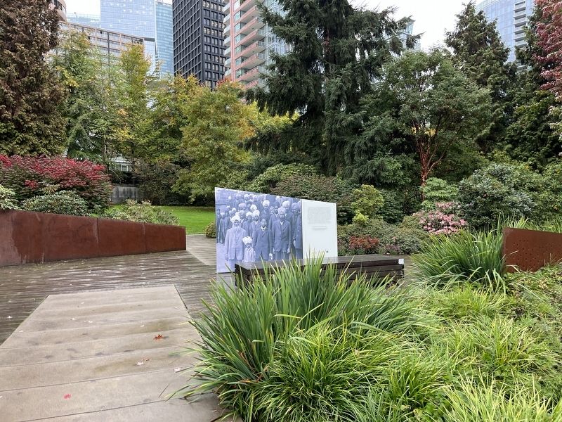
Photographed by Adam Margolis, October 10, 2023
2. Komagata Maru Marker
More about this marker. The marker is located in Harbour Green Park.
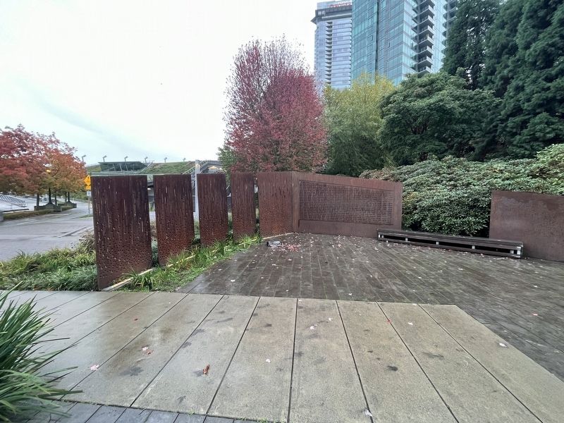
Photographed by Adam Margolis, October 10, 2023
3. Komagata Maru Marker
Sculpture that surrounds the memorial.
Credits. This page was last revised on November 18, 2023. It was originally submitted on November 17, 2023, by Adam Margolis of Mission Viejo, California. This page has been viewed 170 times since then and 21 times this year. Photos: 1, 2, 3. submitted on November 17, 2023, by Adam Margolis of Mission Viejo, California. • Andrew Ruppenstein was the editor who published this page.
