Hart's Location in Carroll County, New Hampshire — The American Northeast (New England)
Sawyer's Rock
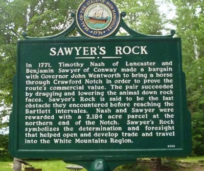
Photographed by Richard E. Miller, July 4, 2009
1. Sawyer's Rock Marker
Erected 2003 by NH Division of Historical Resources and the NH Department of Transportation. (Marker Number 186.)
Topics and series. This historical marker is listed in these topic lists: Colonial Era • Natural Features • Roads & Vehicles. In addition, it is included in the New Hampshire Historical Highway Markers series list. A significant historical year for this entry is 1771.
Location. 44° 4.555′ N, 71° 19.674′ W. Marker is in Hart's Location, New Hampshire, in Carroll County. It is on Crawford Notch Road (U.S. 302)
this page online

Regionally, this marker is in the Lakes Region and in the White Mountains. It is also in the American Northeast and in New England. Globally, it is in North America, the Western Hemisphere, the Western World, and the Anglosphere. Historically, it finds itself in what was once one of the original Thirteen Colonies.
Other nearby markers. At least 8 other markers are within 6 miles of this marker, measured as the crow flies: Crawford Notch Road (a few steps from this marker); Bartlett Snow Roller (approx. 2.3 miles away); Bartlett, N.H. Veterans Memorial (approx. 2.3 miles away); Piece of Sawyer's Rock (approx. 2.3 miles away); Rocky Gorge: a favorite stop since the Civil War (approx. 5½ miles away); Sgt. Brian Adams (approx. 5.8 miles away); Frankenstein Trestle
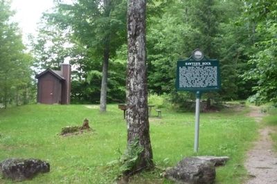
Photographed by Richard E. Miller, July 4, 2009
2. Sawyer's Rock Marker
Also see . . .
1. Hart's Location. The smallest town in New Hampshire and the first in the nation every four years. (Submitted on July 18, 2009, by Richard E. Miller of Oxon Hill, Maryland.)
2. Crawford Notch. (Submitted on July 18, 2009, by Richard E. Miller of Oxon Hill, Maryland.)
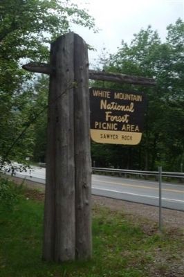
Photographed by Richard E. Miller, July 4, 2009
3. Sawyer's Rock Picnic Area, White Mountain National Forest
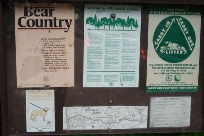
Photographed by Richard E. Miller, July 4, 2009
4. Forest Service advisories posted at the Sawyer's Rock Picnic Area
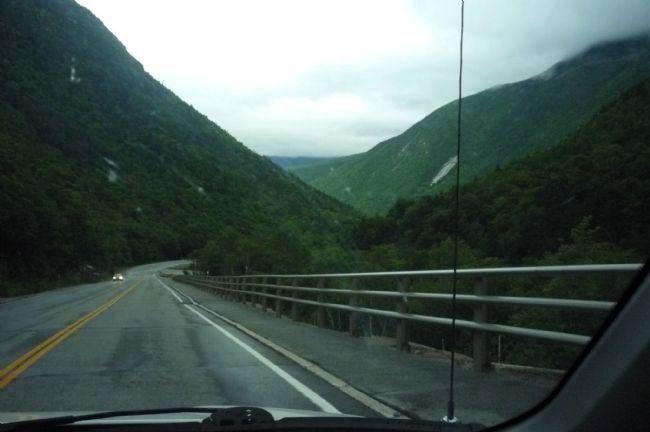
Photographed by Richard E. Miller, July 4, 2009
5. Crawford Notch State Park
U.S. Highway 302 along the Saco River's narrow gorge through the White Mountains - north of the Sawyer's Rock Marker.
Credits. This page was last revised on January 10, 2024. It was originally submitted on July 18, 2009, by Richard E. Miller of Oxon Hill, Maryland. This page has been viewed 4,189 times since then and 302 times this year. Last updated on January 10, 2024, by Carl Gordon Moore Jr. of North East, Maryland. Photos: 1, 2, 3, 4, 5. submitted on July 18, 2009, by Richard E. Miller of Oxon Hill, Maryland. • J. Makali Bruton was the editor who published this page.
