Near St. Marys in Camden County, Georgia — The American South (South Atlantic)
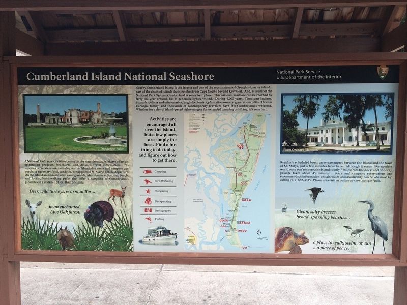
Cumberland Island National Seashore
A National Park Service visitor center on the waterfront at St. Marys offers an orientation program, brochures, and detailed travel information. No supplies or services are available on the Island; day users and campers can purchase necessary food, sundries, or supplies in St. Marys before departure: On the Island are historic sites, campgrounds, a bathhouse at Seacamp beach, and lovely, level walking paths that offer a sampling of Cumberland's pleasures in a distance of less than one mile.
Regularly scheduled boats carry passengers between the Island and the town of St. Marys, just a few minutes from here. Although it seems like another world once you're there, the Island is only 7 miles from the dock, and one-way passage takes about 45 minutes. Ferry and campsite reservations are recommended; information on schedules and availability can be obtained by calling (912) 882-4335. Please also visit us online at www.nps.gov/cuis.
Erected by National Park Service, U.S. Department of the Interior.
Topics. This historical marker is listed in these topic lists: Animals • Colonial Era • Native Americans • Parks & Recreational Areas • Settlements & Settlers • Waterways & Vessels.
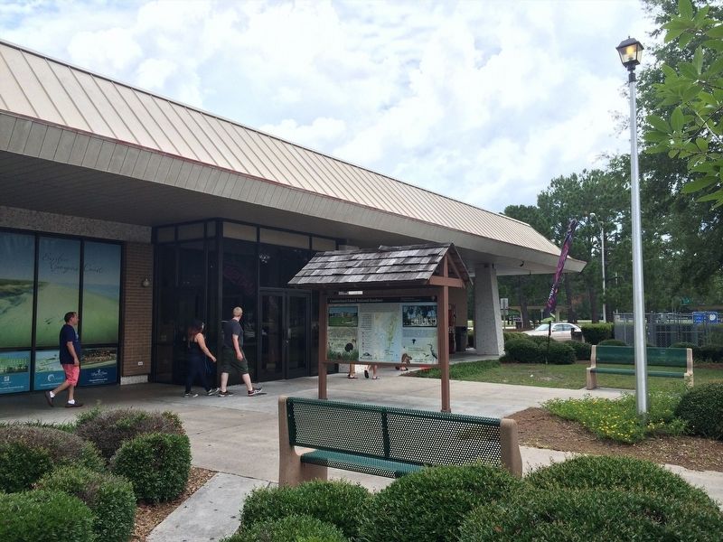
Location. 30° 45.223′ N, 81° 38.996′ W. Marker is near St. Marys, Georgia, in Camden County. Marker can be reached from Interstate 95 at milepost 1 south of St Marys Rd (Interstate 95), on the right when traveling north. Located in front of the Georgia Visitor Information Center at the I-95N Rest Area. Touch for map. Marker is at or near this postal address: 100 St Marys Rd, Saint Marys GA 31558, United States of America. Touch for directions.
Other nearby markers. At least 8 other markers are within 5 miles of this marker, measured as the crow flies. Battle for Georgia (a few steps from this marker); WW II Torpedo (a few steps from this marker); The State Of Georgia Salutes (a few steps from this marker); Jacob Joseph (approx. 4 miles away); Joe H. Joseph / Hammond Roberts (approx. 4 miles away); Tre Francesco Porfirio (approx. 4 miles away); Florida Honors and Remembers our POW’s and MIA’s (approx. 4.3 miles away in Florida); USS George Bancroft (approx. 4.8 miles away). Touch for a list and map of all markers in St. Marys.
Also see . . . Cumberland Island National Seashore. National Park Service (Submitted on January 12, 2024.)
Credits. This page was last revised on January 23, 2024. It was originally submitted on January 12, 2024, by Adam Margolis of Mission Viejo, California. This page has been viewed 53 times since then. Photos: 1, 2. submitted on January 12, 2024, by Adam Margolis of Mission Viejo, California. • Bernard Fisher was the editor who published this page.

