Downtown in Northwest Washington in Washington, District of Columbia — The American Northeast (Mid-Atlantic)
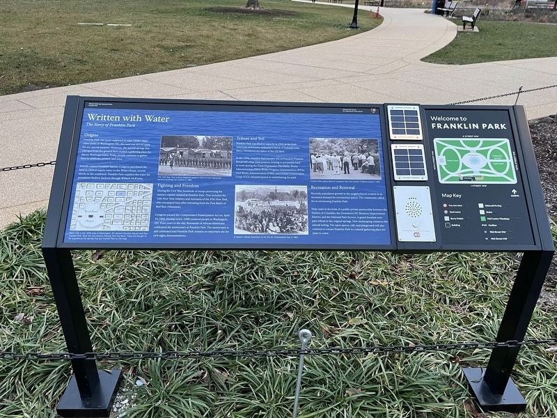
Written with Water
The Story of Franklin Park
— National Mall and Memorial Parks, Franklin Park —
Origins
Franklin Park was never supposed to exist. Unlike many other parks in Washington, DC, this land was not set aside for any special purpose. However, the natural springs that emerged from the ground here created a gathering place for thirsty Washingtonians. Today, people continue to gather here to celebrate, protest, and relax.
Initially named Fountain Square, Congress purchased the land in 1832 to supply water to the White House, several blocks to the southwest. Franklin Park supplied the water for presidents Andrew Jackson through William McKinley.
Fighting and Freedom
During the Civil War, hundreds of troops protecting the nation's capital camped at Franklin Park. That included the 12th New York Infantry and remnants of the 27th New York who encamped here after retreating from the First Battle of Bull Run (Manassas).
Congress passed the Compensated Emancipation Act on April 16, 1862, freeing nearly 3,000 enslaved people in Washington, DC. Four years to the day, thousands of African Americans celebrated the anniversary at Franklin Park. The anniversary is still celebrated and Franklin Park remains an important site for civil rights demonstrations.
Recreation and Renewal
Recently, population growth in the neighborhood resulted in an increased demand for recreational spaces. The community called for re-envisioning Franklin Park.
Help came in the form of a public-private partnership between the District of Columbia, the Downtown DC Business Improvement District, and the National Park Service. A grand fountain now pays tribute to the original springs. New landscaping enhances the natural setting. The open spaces, café, and playground will also continue to ensure Franklin Park is a natural gathering place for years to come.
[Captions:]
Block 249 in this 1818 map of Washington, DC became Fountain Square and then Franklin Park. Note the two streams flowing from the block. These are thought to be supplied by the springs that put Franklin Park on the map.
The 12th New York Infantry Regiment poses in front of their improvised barracks buildings for a photo in 1862.
A Harper's Weekly illustration of the first DC Emancipation Day in 1866.
Franklin Park visitors listen to a speaker from the Catholic Evidence Guild in 1945.
Erected by National Park Service, U.S. Department of the Interior.
Topics. This historical marker is listed in these topic lists: Abolition & Underground RR • African Americans

Photographed By Devry Becker Jones (CC0), January 29, 2024
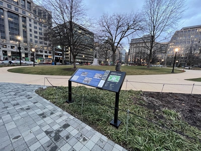
2. Written with Water marker within Franklin Park
Location. 38° 54.096′ N, 77° 1.882′ W. Marker is in Northwest Washington in Washington, District of Columbia. It is in Downtown. Marker is on I Street Northwest just east of 14th Street Northwest, on the right when traveling west. Touch for map. Marker is at or near this postal address: 1315 "Eye" Street Northwest, Washington DC 20005, United States of America. Touch for directions.
Other nearby markers. At least 8 other markers are within walking distance of this marker. "The First of Patriots - The Best of Men" (within shouting distance of this marker); John Barry Memorial (within shouting distance of this marker); Josephine Butler (about 400 feet away, measured in a direct line); The New York Avenue Presbyterian Church (about 600 feet away); 80th Anniversary of Presbyterian Women in Cuba (about 600 feet away); Franklin Square (about 600 feet away); The First Wireless Telephone Call (about 600 feet away); New York Avenue Presbyterian Church at Herald Square (about 600 feet away). Touch for a list and map of all markers in Northwest Washington.
Credits. This page was last revised on January 29, 2024. It was originally submitted on January 29, 2024, by Devry Becker Jones of Washington, District of Columbia. This page has been viewed 48 times since then. Photos: 1, 2. submitted on January 29, 2024, by Devry Becker Jones of Washington, District of Columbia.
