Mifflintown in Juniata County, Pennsylvania — The American Northeast (Mid-Atlantic)
Juniata County
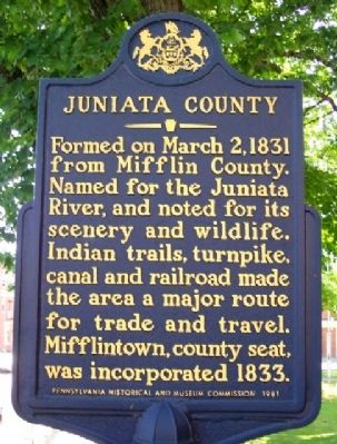
Formed on March 2, 1831 from Mifflin County. Named for the Juniata River, and noted for its scenery and wildlife. Indian trails, turnpike, canal and railroad made the area a major route for trade and travel. Mifflintown, county seat, was incorporated 1833.
Erected 1981 by Pennsylvania Historical and Museum Commission.
Topics and series. This historical marker is listed in these topic lists: Native Americans • Roads & Vehicles • Settlements & Settlers • Waterways & Vessels. In addition, it is included in the Pennsylvania Historical and Museum Commission series list. A significant historical month for this entry is March 1742.
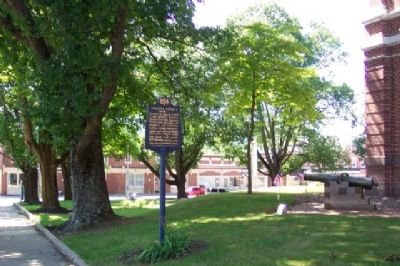
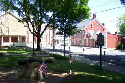
Location. 40° 34.212′ N, 77° 23.781′ W. Marker is in Mifflintown, Pennsylvania, in Juniata County. Marker is on Bridge Street (Pennsylvania Route 35). Marker is on the south courthouse ground. Touch for map. Marker is in this post office area: Mifflintown PA 17059, United States of America. Touch for directions.
Other nearby markers. At least 8 other markers are within 3 miles of this marker, measured as the crow flies. Juniata County War Memorial (a few steps from this marker); Civil War Memorial (within shouting distance of this marker); John Harris (within shouting distance of this marker); In Grateful Acknowledgement (about 300 feet away, measured in a direct line); a different marker also named John Harris (about 300 feet away); Westminster Presbyterian Cemetery World War Memorial Avenue of Trees (approx. 0.2 miles away); Mifflintown (approx. 0.2 miles away); Tuscarora Path (approx. 2.1 miles away). Touch for a list and map of all markers in Mifflintown.
Also see . . . History of Juniata County. County website entry (Submitted on November 8, 2009, by William Fischer, Jr. of Scranton, Pennsylvania.)
Credits. This page was last revised on February 18, 2022. It was originally submitted on November 8, 2009, by William Fischer, Jr. of Scranton, Pennsylvania. This page has been viewed 1,138 times since then and 13 times this year. Photos: 1, 2, 3. submitted on November 8, 2009, by William Fischer, Jr. of Scranton, Pennsylvania.


