White Bear Township in Ramsey County, Minnesota — The American Midwest (Upper Plains)
Who Were the Area's First Inhabitants?
Photographed by McGhiever, January 24, 2024
1. Who Were the Area's First Inhabitants? Marker
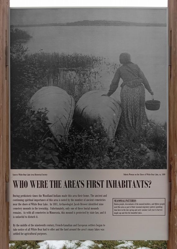
During prehistoric times the Woodland Indians made this area their home. The ancient and continuing spiritual importance of this area is noted by the number of ancient cemeteries near the shore of White Bear Lake. In 1881, Archaeologist Jacob Brower identified nine cemetery mounds in the township. Unfortunately, only one of these burial mounds remains. As with all cemeteries in Minnesota, this mound is protected by state law, and it is unlawful to disturb it.
By the middle of the nineteenth century, French-Canadian and European settlers began to take notice of all White Bear had to offer and the land around the area's many lakes was settled for agricultural purposes.
Seasonal Patterns
Dakota people, descendants of the mound-builders, and Ojibwe people used this area as part of their seasonal migratory pattern spending time here in the late spring and early summer each year to harvest maple sap and fish the bountiful lakes.
[Caption:]
Source: White Bear Lake Area Historical Society
Dakota Woman on the Shore of White Bear Lake, ca. 1880
Topics. This historical marker is listed in these topic lists: Anthropology & Archaeology
this page online
Location. 45° 5.654′ N, 93° 3.053′ W. Marker is in White Bear Township, Minnesota, in Ramsey County. It is on Hammond Road west of Township Parkway, on the right when traveling west. The marker is at the start of the path from the parking lot to the 1885 White Bear Town Hall. Touch for map. Marker is at or near this postal address: 1280 Hammond Road, Saint Paul MN 55110, United States of America. Touch for directions.

Regionally, this marker is in the Twin Cities Metropolitan Area. It is also in the American Midwest, in the Corn Belt, and in the Great River Road Region. Globally, it is in North America, the Western Hemisphere, the Western World, and the Anglosphere. Historically, it finds itself in what was once Rupert’s Land, the territory of the Mississippian Culture, and the Louisiana Purchase.
Other nearby markers. At least 8 other markers are within 3 miles of this marker, measured as the crow flies: The Landscape was Shaped by Natural Forces (here, next to this marker);
Photographed by McGhiever, January 24, 2024
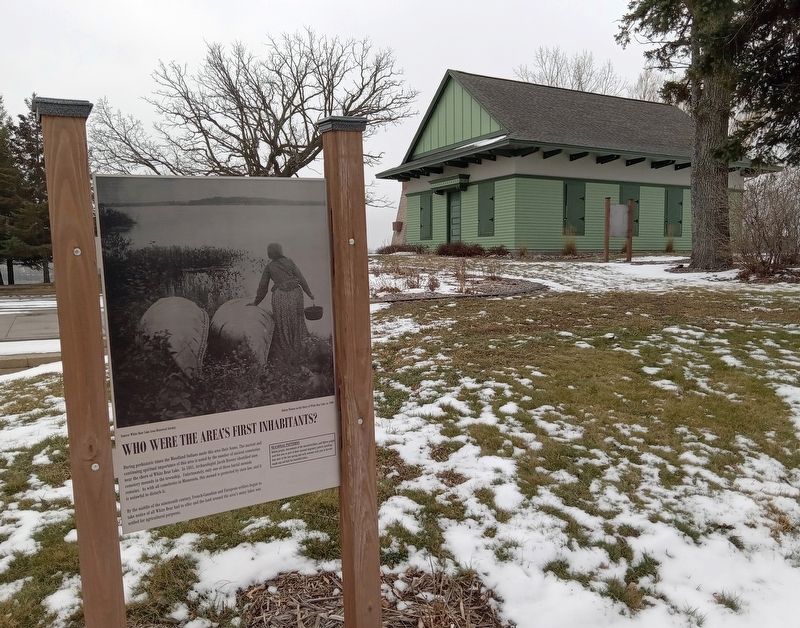
2. Who Were the Area's First Inhabitants? Marker and the 1885 White Bear Town Hall
Credits. This page was last revised on July 22, 2026. It was originally submitted on March 13, 2024, by McGhiever of Minneapolis, Minnesota. This page has been viewed 145 times since then and 17 times this year. Photos: 1, 2. submitted on March 13, 2024, by McGhiever of Minneapolis, Minnesota. • Devry Becker Jones was the editor who published this page.
