Theodore Roosevelt Island in Northwest Washington in Washington, District of Columbia — The American Northeast (Mid-Atlantic)
Urban Wilderness
Theodore Roosevelt Island
| — | George Washington Memorial Parkway, National Park Service, U.S. Department of the Interior | — |
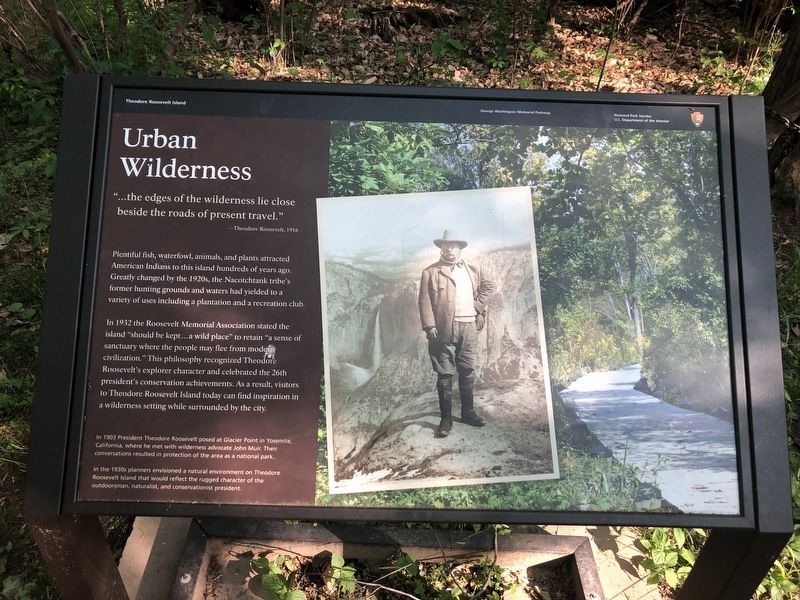
"...the edges of the wilderness lie close behind the roads of present travel."
—Theodore Roosevelt, 1916
Plentiful fish, waterfowl, animals, and plants attracted American Indians to this island hundreds of years ago. Greatly changed by the 1920s, the Nacotchtank tribe's former hunting grounds and waters had yielded to a variety of uses including a plantation and a recreation club.
In 1932 the Roosevelt Memorial Association stated the island "should be kept...a wild place" to retain "a sense of sanctuary where the people may flee from modern civilization." This philosophy recognized Theodore Roosevelt's explorer character and celebrated the 26th president's conservation achievements. As a result, visitors to Theodore Roosevelt Island today can find inspiration in a wilderness while surrounded by the city.
[Captions:]
In 1903 President Theodore Roosevelt posed at Glacier Point in Yosemite, California, where he met with wilderness advocate John Muir. Their conservation resulted in protection of the area as a national park.
In the 1930s planners envisioned a natural environment on Theodore Roosevelt Island that would reflect the rugged character of the outdoorsman, naturalist, and conservationist president.
Erected by National
this page online
Topics and series. This historical marker is listed in these topic lists: Animals • Environment • Indigenous Peoples and Communities • Parks & Recreational Areas. In addition, it is included in the Former U.S. Presidents: #26 Theodore Roosevelt series list. A significant historical year for this entry is 1916.
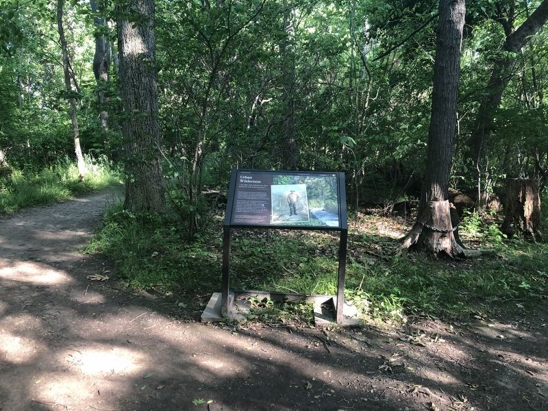
Location. 38° 53.641′ N, 77° 3.69′ W. Marker is in Northwest Washington in Washington, District of Columbia. It is on Theodore Roosevelt Island. It is on Upland Trail 0.2 miles north of Swamp Trail, on the right when traveling north. Touch for map. Marker is in this post office area: Washington DC 20007, United States of America. Touch for directions.

Regionally, this marker is in the Washington Metropolitan Area. It is also in the American Northeast, in the Upper South, in the Mid-Atlantic, in the Tidewater, and in the Chesapeake Bay Region. Globally, it is in North America, the Western Hemisphere, the Western World, and the Anglosphere.
Other nearby markers. At least 8 other markers are within walking distance of this marker: Mason Mansion (about 300 feet
Credits. This page was last revised on April 4, 2024. It was originally submitted on May 15, 2020, by Devry Becker Jones of Washington, District of Columbia. This page has been viewed 311 times since then and 19 times this year. Last updated on April 4, 2024, by Laura Edwards of Bethesda, Maryland. Photos: 1, 2. submitted on May 15, 2020, by Devry Becker Jones of Washington, District of Columbia. • J. Makali Bruton was the editor who published this page.
