Near Newton Hook in Columbia County, New York — The American Northeast (Mid-Atlantic)
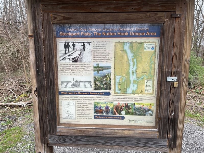
Stockport Flats: The Nutten Hook Unique Area
Hudson River National Estuarine Research Reserve
Photographed by Steve Stoessel, April 13, 2024
1. Stockport Flats: The Nutten Hook Unique Area Marker
The Stockport Flats Reserve is a five-mile mosaic of landscapes with a rich diversity of plants and animals. Here you'll find tidal and non-tidal wetlands, floodplain forest, tidal flats, forested islands and an extensive tidal wetland at the mouth of Stockport Creek.
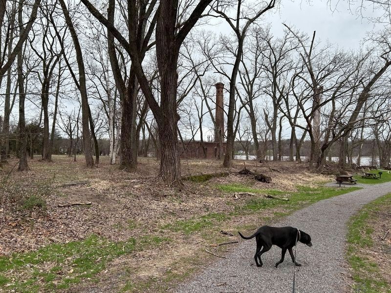
Just down the path is the ruin of the R&W Scott Ice Company. Between 1885 and 1923, men used horses to work sheets of river ice into huge insulated rooms. All that remains is the ice house foundations and the power house walls and stack. Follow the trail to learn more about the Hudson River ice industry.
What does the Research Reserve do?
The Hudson River National Estuarine Research Reserve (HRNERR) is part of a network of 29 nationwide reserves, which are field laboratories for research, stewardship, training and education. The four HRNERR sites include 5,000 acres along the Hudson River Estuary.
• Research focuses on river habitat health and climate change monitoring.
• Stewardship projects restore habitat and build more resilient shorelines.
• Training programs support local decision making.
• Free education programs provide hands-on learning.
Topics.
this page online
Location. 42° 21.488′ N, 73° 47.245′ W. Marker is near Newton Hook, New York, in Columbia County. It is on Ice House Road 0.3 miles west of New York State Route 9J, on the left when traveling west. The marker is at the end of Ice House Road at the trailhead. Touch for map. Marker is in this post office area: Stuyvesant NY 12173, United States of America. Touch for directions.

Regionally, this marker is in Upstate New York and in the Hudson Valley. It is also in the American Northeast and in the Mid-Atlantic. Globally, it is in North America, the Western Hemisphere, the Western World, and the Anglosphere. Historically, it finds itself in what was once New Netherland and also one of the original Thirteen Colonies.
Other nearby markers. At least 8 other markers are within walking distance of this marker: Natural Ice's Rise and Fall (about 400 feet away, measured in a direct line); Harvesters of Winter Cold (about 400 feet away);
Photographed by Steve Stoessel, April 13, 2024
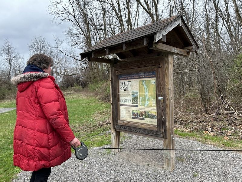
2. Stockport Flats Marker
Also see . . . Hudson River National Estuarine Research Reserve. This is the link listed on the marker. (Submitted on April 15, 2024, by Steve Stoessel of Niskayuna, New York.)
Photographed by Steve Stoessel, April 13, 2024
3. At the Start of the Stockport Flats Trail Looking Towards the Ice House
Credits. This page was last revised on April 28, 2024. It was originally submitted on April 15, 2024, by Steve Stoessel of Niskayuna, New York. This page has been viewed 319 times since then and 43 times this year. Photos: 1, 2, 3. submitted on April 15, 2024, by Steve Stoessel of Niskayuna, New York. • Devry Becker Jones was the editor who published this page.
