Near Millsboro in Sussex County, Delaware — The American Northeast (Mid-Atlantic)
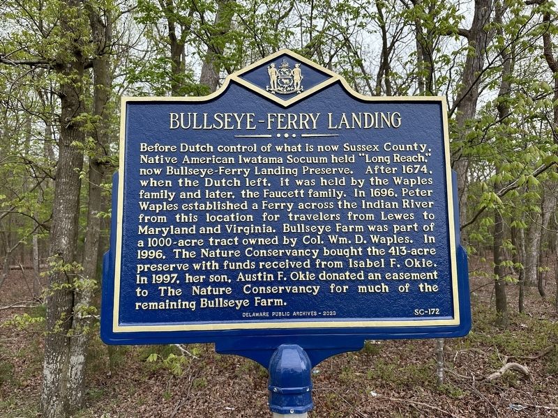
Bullseye-Ferry Landing
Erected 2023 by Delaware Public Archives. (Marker Number SC-172.)
Topics and series. This historical marker is listed in these topic lists: Colonial Era • Native Americans • Parks & Recreational Areas • Settlements & Settlers • Waterways & Vessels. In addition, it is included in the Delaware Public Archives series list. A significant historical year for this entry is 1996.
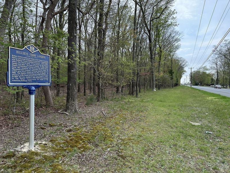
Location. 38° 36.162′ N, 75° 14.585′ W. Marker is near Millsboro, Delaware, in Sussex County. Marker is on John J Williams Highway (Delaware Route 24) 0.2 miles east of Rock Pile Way , on the right when traveling east. Touch for map. Marker is at or near this postal address: 28471 John J Williams Highway, Millsboro DE 19966, United States of America. Touch for directions.
Other nearby markers. At least 8 other markers are within 3 miles of this marker, measured as the crow flies. Harmony United Methodist Church (approx. 1.3 miles away); Indian Mission School (approx. 1.7 miles away); Rosedale Beach Hotel and Resort (approx. 1.9 miles away); Askekesky (approx. 2˝ miles away); Indian River Hundred (approx. 2.6 miles away); Home of Richard S. Cordrey (approx. 2.7 miles away); Grace United Methodist Church (approx. 2.7 miles away); Chair of Honor (approx. 2.7 miles away). Touch for a list and map of all markers in Millsboro.
Credits. This page was last revised on April 18, 2024. It was originally submitted on April 17, 2024, by Pete Skillman of Townsend, Delaware. This page has been viewed 43 times since then. Photos: 1, 2. submitted on April 17, 2024, by Pete Skillman of Townsend, Delaware. • Devry Becker Jones was the editor who published this page.

