Worcester in Worcestershire, England, United Kingdom — Northwestern Europe (the British Isles)
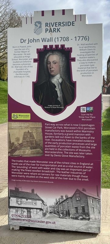
Dr John Wall (1708-1776)
⎯⎯⎯
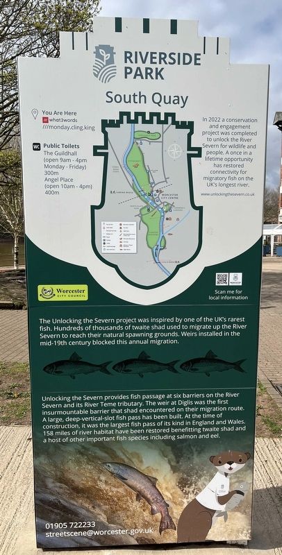
South Quay
Photographed by Ray Gurganus, April 4, 2024
1. Dr John Wall (1708-1776) side of marker
Dr. Wall worked with local apothecary, William Davis to investigate the healing properties of Malvern waters. They also discovered a way to make a porcelain type material that led to the birth of porcelain production in Worcester.
Part-way across what is now Copenhagen Street Car Park, Worcester's first porcelain manufactory was based within Warmstry House, formerly a grand mansion with gardens laid out down to the banks of the river. Excavations have revealed evidence of the early production processes and large quantities of porcelain waste from the site are held in the collections of Museums Worcestershire. The site was later taken over by Dents Glove Manufactory.
The trades that made Worcester one of the richest cities in England all made use of the river for transportation and as a vital source of water. The 'pounding' of wool with water and clay was an important part of making 'the finest woollen broadcloth'. The leather industries of Worcester were reliant on tanners for raw materials though these were mainly situated on the west side of the river due to the smell.
-------
The Unlocking the Severn project was inspired by one of the UK's rarest fish. Hundreds of thousands of twaite shad used to migrate up the River Severn to reach their natural spawning grounds. Weirs installed in the mid-19th century blocked this annual migration.
Unlocking the Severn provides fish passage at six barriers on the River Severn and its River Severn tributary. The weir at Diglis was the first insurmountable barrier that shad encountered on their migration route. A large,
this page online
Erected by Worcester City Council.
Topics. This historical marker is listed in these topic lists: Environment • Industry & Commerce • Science & Medicine • Waterways & Vessels.
Location. 52° 11.444′ N, 2° 13.422′ W. Marker is in Worcester, England, in Worcestershire. It is on Copenhagen Street. Touch for map. Marker is at or near this postal address: Copenhagen Street, Worcester, England WR1 2JJ, United Kingdom. Touch for directions.

Regionally, this marker is in the Midlands. Globally, it is on the Atlantic Ocean, in the North Atlantic Region, in Europe, in Atlantic Europe, on one of the British Isles, in the Western World, and in the Anglosphere. Historically, it finds itself in what was once the Roman Empire.
Other nearby markers. At least 8 other markers are within 11 kilometers
Photographed by Ray Gurganus, April 4, 2024
2. South Quay side of marker
Credits. This page was last revised on April 27, 2024. It was originally submitted on April 26, 2024, by Ray Gurganus of Washington, District of Columbia. This page has been viewed 153 times since then and 20 times this year. Photos: 1, 2. submitted on April 26, 2024, by Ray Gurganus of Washington, District of Columbia. • Andrew Ruppenstein was the editor who published this page.
