Pilot Grove in Cooper County, Missouri — The American Midwest (Upper Plains)
Early Travel Route
Photographed by Jason Voigt, May 14, 2024
1. Early Travel Route Marker
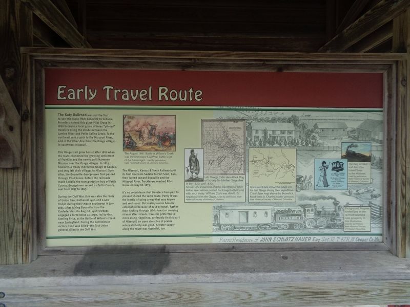
This Osage trail grew busier after 1821 when the route connected the growing settlement of Franklin and the newly built Harmony Mission near the Osage villages. In 1825, however, a treaty moved the Osage to Kansas, and they left their villages in Missouri. Soon after, the Boonville-Georgetown Trail passed through Pilot Grove. Before the railroads made Sedalia the transportation hub of Pettis County, Georgetown served as Pettis County seat from 1837 to 1865.
During the Civil War, this was also the route of Union Gen. Nathaniel Lyon and 2,400 troops during their march southwest in July 1861, after taking Boonville from the Confederates. On Aug. 10, Lyon's troops engaged a force twice as large, led by Gen. Sterling Price, at the Battle of Wilson's Creek near
this page online
The Missouri, Kansas & Texas Railway built its first line from Sedalia to Fort Scott, Kan., then turned toward Boonville and the Missouri River. Tracklayers reached Pilot Grove on May 18, 1873.
It's no coincidence that travelers from past to present shared the same route. Partly it was the inertia of using a way that was known and well-used. But mainly routes became established because of ease of travel. Rather than hacking through thick forest or crossing stream after stream, travelers preferred to move along ridgelines, preferably (in this part of Missouri) on open stretches of prairie where visibility was good. A water supply along the route was essential, too.
Erected by Missouri State Parks.
Topics and series. This historical marker is listed in these topic lists: Indigenous Peoples and Communities • Railroads & Streetcars • Roads & Vehicles • War, US Civil. In addition, it is included in the Katy Trail State Park series list. A significant historical date for this entry is May 18, 1873.
Location. 38° 52.537′ N, 92° 54.746′ W.
Photographed by Jason Voigt, May 14, 2024
2. Early Travel Route Marker
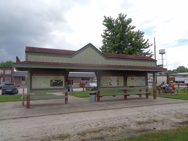
Marker is the right panel at Katy Trail - Pilot Grove Trailhead

Regionally, this marker is in the Missouri River Corridor. It is also in the American Midwest, in the Lewis & Clark Corridor, in the Corn Belt, and on the Santa Fe Trail Corridor. Globally, it is in North America, the Western Hemisphere, the Western World, and the Anglosphere. Historically, it finds itself in what was once the territory of the Mississippian Culture, the Louisiana Purchase, and the Antebellum South.
Other nearby markers. At least 8 other markers are within 9 miles of this marker, measured as the crow flies: Pilot Grove to Clifton City (here, next to this marker); History of Pilot Grove (here, next to this marker); Pilot Grove to Boonville (here, next to this marker); Pilot Grove - 1873 (about 400 feet away, measured in a direct line); The Harriman Millstone
Photographed by Jason Voigt, May 14, 2024
3. Early Travel Route Marker
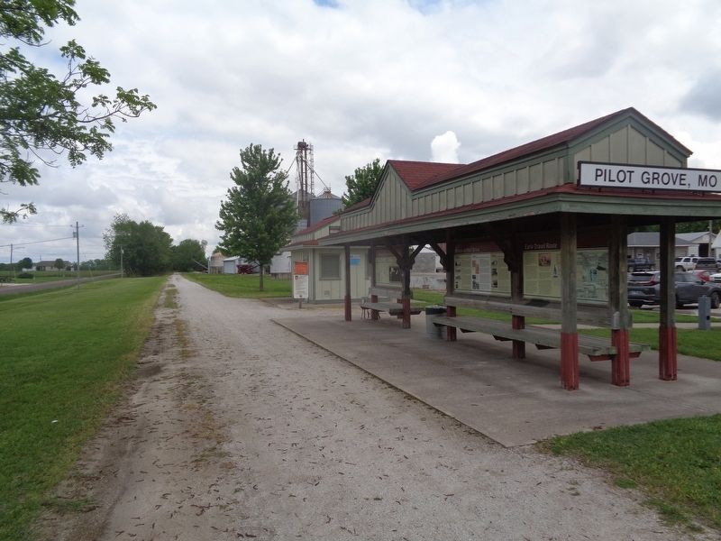
Markers are located off the Katy Trail.
Also see . . . Katy Trail State Park (Missouri State Parks). (Submitted on May 25, 2024, by Jason Voigt of Glen Carbon, Illinois.)
Credits. This page was last revised on May 25, 2024. It was originally submitted on May 25, 2024, by Jason Voigt of Glen Carbon, Illinois. This page has been viewed 189 times since then and 26 times this year. Photos: 1, 2, 3. submitted on May 25, 2024, by Jason Voigt of Glen Carbon, Illinois.
