Quinnipiac Meadows in New Haven in South Central Region, Connecticut — The American Northeast (New England)
The Quinnipiac River
Photographed by Conrad Ward, March 31, 2024
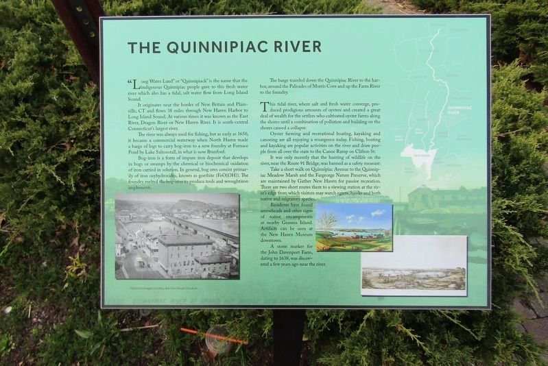
1. The Quinnipiac River Marker
"Long Water Land" or "Quinnipiack" is the name that the indigenous Quinnipiac people gave to this fresh water river which also has a tidal, salt water flow from Long Island Sound.
It originates near the border of New Britain and Plainville, CT and flows 38 miles through New Haven Harbor to Long Island Sound. At various times it was known as the East River, Dragon River or New Haven River. It is south-central Connecticut's largest river.
The river was always used for fishing, but as early as 1650, it became a commercial waterway when North Haven made a barge of logs to carry bog-iron to a new foundry at Furnace Pond by Lake Saltonstall, in what is now Branford.
Bog-iron is a form of impure iron deposit that develops in bogs or swamps by the chemical or biochemical oxidation of iron carried in solution. In general, bog ores consist primarily of iron oxyhydroxides, known as goethite (FeO(OH)). The foundry melted the bog-iron to produce tools and wroughtiron implements.
The barge traveled down the Quinnipiac River to the harbor, around the Palisades of Morris Cove and up the Farm River to the foundry.
This tidal
this page online
Oyster farming and recreational boating, kayaking and canoeing are all enjoying a resurgence today: Fishing, boating and kayaking are popular activities on the river and draw people from all over the state to the Canoe Ramp on Clifton St.
It was only recently that the hunting of wildlife on the river near the Route 91 Bridge, was banned as a safety measure.
Take a short walk on Quinnipiac Avenue to the Quinnipiac Meadow Marsh and the Fargeorge Nature Preserve, which are maintained by Gather New Haven for passive recreation. There are two short routes there to a viewing station at the river's edge from which visitors may watch egrets, hawks and both native and migratory species.
Residents have found arrowheads and other signs of native encampments at nearby Grannis Island. Artifacts can be seen at the New Haven Museum downtown.
A stone marker for the John Davenport Farm,
Photographed by Conrad Ward, March 31, 2024
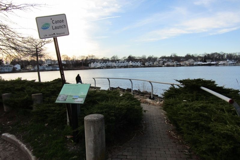
2. Marker at Canoe Launch
Historical images courtesy of the New Haven Museum
Topics. This historical marker is listed in these topic lists: Agriculture • Indigenous Peoples and Communities • Industry & Commerce • Waterways & Vessels. A significant historical year for this entry is 1650.
Location. 41° 18.594′ N, 72° 53.127′ W. Marker is in New Haven in South Central Region, Connecticut. It is in Quinnipiac Meadows. It is on Clifton Street west of Quinnipiac Avenue when traveling west. Located at the Quinnipiac River Clifton Street canoe launch. Touch for map. Marker is in this post office area: New Haven CT 06513, United States of America. Touch for directions.

Regionally, this marker is in the Connecticut River Valley and on the Connecticut Shoreline. It is also in the American Northeast, in New England, and on the Eastern Seaboard. Globally, it is in the North Atlantic Region, North America, the Western Hemisphere, the Western World, and the Anglosphere. Historically, it finds itself in what was once New Haven County and also one of the original Thirteen Colonies.
Other nearby markers. At least 8 other markers are within 2 miles of this marker, measured as the crow flies: The Quinnipiac Marsh Timeline (approx. 0.2 miles away); How have people changed the marsh? (approx. 0.2 miles away); Grannis Island (approx. half a mile away); Welcome to the Preserve (approx. 0.6 miles away); The Connecticut Twenty-Ninth Colored Regiment, C. V. Infantry (approx. 1.1 miles away); 32nd Ward World War I Memorial (approx. 1.2 miles away); Jocelyn Square (approx. 1.3 miles away); New Haven World War Two Veterans Memorial (approx. 1.3 miles away). Touch for a list and map of all markers in New Haven.
Credits. This page was last revised on May 19, 2026. It was originally submitted on June 16, 2024, by Conrad Ward of Guilford, Connecticut. This page has been viewed 438 times since then and 82 times this year. Photos: 1, 2. submitted on June 16, 2024, by Conrad Ward of Guilford, Connecticut. • Michael Herrick was the editor who published this page.
