Grand Canyon National Park in Coconino County, Arizona — The American Mountains (Southwest)
Delta Farmers
Grand Canyon
| — | National Park Service, U.S. Department of the Interior | — |
Photographed by James Hulse, June 21, 2024
1. Delta Farmers Marker
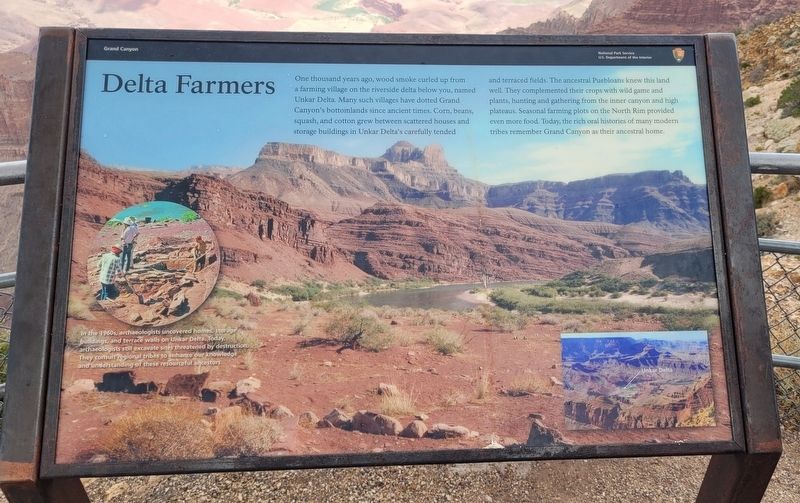
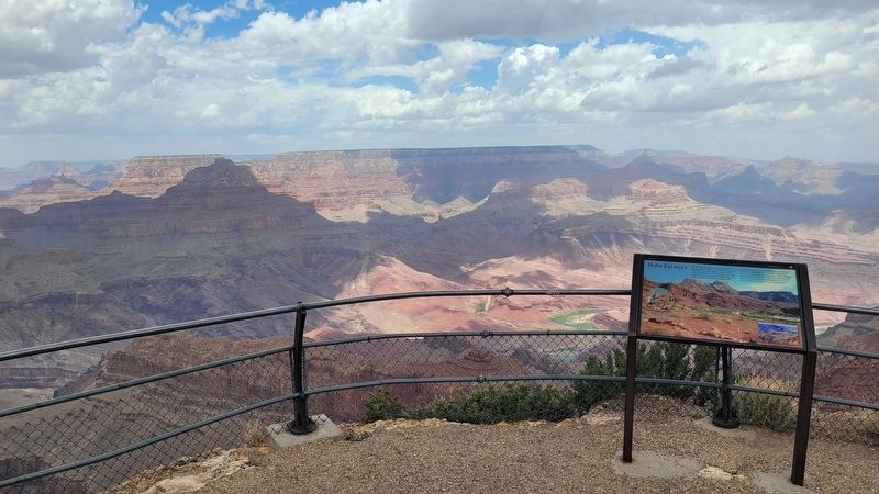
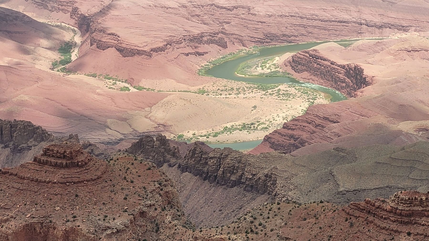
One thousand years ago, wood smoke curled up from a farming village on the riverside delta below you, named Unkar Delta. Many such villages have dotted Grand Canyon's bottomlands since ancient times. Corn, beans, squash, and cotton grew between scattered houses and storage buildings in Unkar Delta's carefully tended and terraced fields. The ancestral Puebloans knew this land well. They complemented their crops with wild game and plants, hunting and gathering from the inner canyon and high plateaus. Seasonal farming plots on the North Rim provided even more food. Today, the rich oral histories of many modern tribes remember Grand Canyon as their ancestral home.
In the 1960s, archaeologists uncovered homes, storage buildings, and terrace walls on Unkar Delta. Today, archaeologists still excavate sites threatened by destruction They consult regional tribes to enhance our knowledge and understanding of these resourceful ancestors.
Erected by National Park Service, U.S. Department of the Interior.
Topics. This historical marker is listed in these topic lists: Anthropology & Archaeology • Indigenous Peoples and Communities
this page online
Location. 36° 1.985′ N, 111° 51.201′ W. Marker is in Grand Canyon National Park, Arizona, in Coconino County. It can be reached from Lipan Point Road north of Desert View Drive. The marker is located northwest of the Lipan Point Parking Lot along the viewing trail. Touch for map. Marker is in this post office area: Grand Canyon AZ 86023, United States of America. Touch for directions.

Regionally, this marker is in Flagstaff & High Country and in Hopi. It is also in the American Southwest, in the Mountain West, on the Colorado Plateau, and at the Four Corners. Globally, it is in North America, the Western Hemisphere, the Western World, and the Anglosphere. Historically, it finds itself in what was once New Spain and also Mexico’s Alta California.
Other nearby markers. At least 8 other markers are within 2 miles of this marker, measured as the crow flies: Hance Rapid (here, next to this marker); Grand Canyon's Gateway (approx. one mile away); Tribal Connections (approx. one mile away); Tusayan Ruin Trail (approx. 1½ miles away); Tusayan Museum and Ruin
Photographed by James Hulse, June 21, 2024
2. Delta Farmers Marker
Also see . . . Archeologists excavate two sites along Colorado River. National Park Service, U.S. Department of the Interior
Ivo's Site(Submitted on July 8, 2024, by James Hulse of Medina, Texas.)
In September 2008, crews excavated an ancestral Puebloan site near Unkar Delta. Unkar Delta is the most extensive habitation site in the Colorado River corridor. In 1967 and 1968, the School of American Research, under the supervision of Douglas Schwarz, excavated 31 of the 52 identified sites at Unkar Delta. Unkar Delta was inhabited during the Formative time period mostly between 1050 and 1150 AD, which corresponds to the ancestral Puebloan, or Anasazi culture.
Photographed by James Hulse, June 21, 2024
3. Unkar Delta area
Credits. This page was last revised on August 1, 2025. It was originally submitted on July 7, 2024, by James Hulse of Medina, Texas. This page has been viewed 444 times since then and 81 times this year. Photos: 1, 2, 3. submitted on July 8, 2024, by James Hulse of Medina, Texas.
