Wapakoneta in Auglaize County, Ohio — The American Midwest (Great Lakes)
Fort Au Glaize and the First Wapakoneta Shawnee Council House
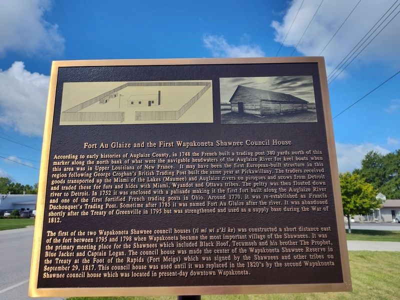
Photographed by Craig Doda, July 6, 2024
1. Fort Au Glaize and the First Wapakoneta Shawnee Council House Marker
The first of the two Wapakoneta
this page online
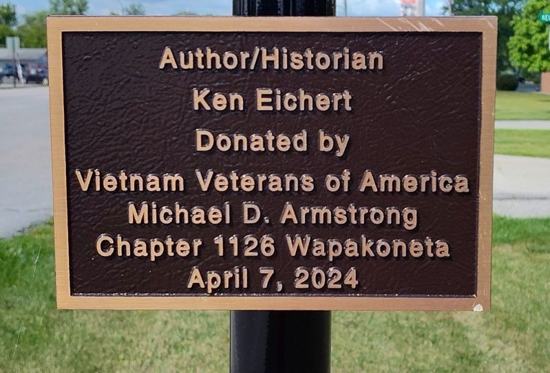
Author/Historian Ken Eichert
Erected 2024 by Vietnam Veterans of America Michael D. Armstrong Chapter 1126 Wapakoneta.
Topics. This historical marker is listed in these topic lists: Colonial Era • Forts and Castles • Indigenous Peoples and Communities • Waterways & Vessels. A significant historical date for this entry is September 29, 1817.
Location. 40° 34.642′ N, 84° 10.768′ W. Marker is in Wapakoneta, Ohio, in Auglaize County. It is at the intersection
Photographed by Craig Doda, July 6, 2024
2. Fort Au Glaize and the First Wapakoneta Shawnee Council House Marker

Regionally, this marker is in the Till Plains. It is also in the American Midwest and in the Corn Belt. Globally, it is in North America, the Western Hemisphere, the Western World, and the Anglosphere. Historically, it finds itself in what was once the Haudenosaunee (Iroquois) Confederacy, the territory of the Mississippian Culture, and the Northwest Territory.
Other nearby markers. At least 8 other markers are within walking distance of this marker: Veterans Memorial (about 300 feet away, measured in a direct line); a different marker also named Veterans Memorial (about 300 feet away); Wapakoneta (approx. 0.2 miles away); Cpl. Christian Schnell (approx. ¼ mile away); Dayton and Michigan Railroad (approx. 0.8 miles away); Wapakoneta Heritage Parkway (approx. 0.9 miles away); Lengerich Garden (approx. 0.9 miles away); Neil Armstrong Homecoming Statue (approx. 0.9 miles away). Touch for a list and map
Photographed by Craig Doda, July 6, 2024
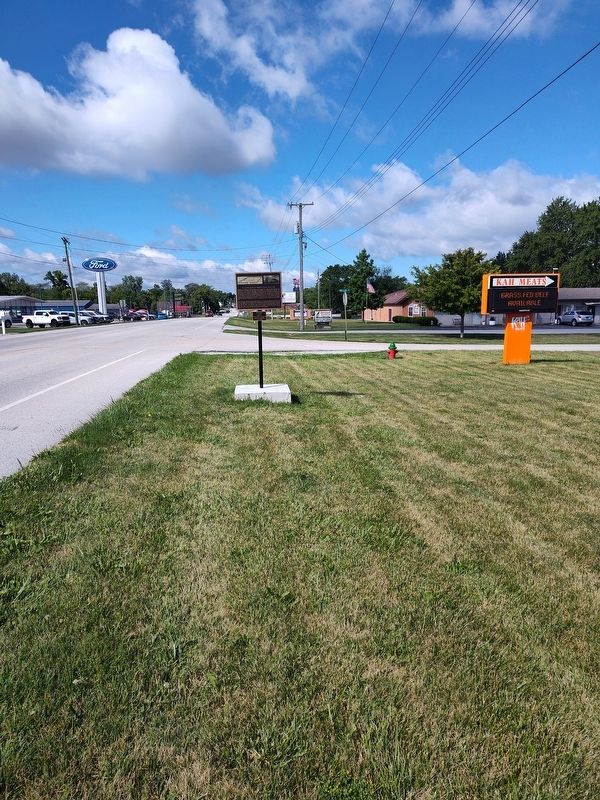
3. Fort Au Glaize and the First Wapakoneta Shawnee Council House Marker
Credits. This page was last revised on July 23, 2024. It was originally submitted on July 11, 2024, by Craig Doda of Napoleon, Ohio. This page has been viewed 741 times since then and 94 times this year. Photos: 1, 2, 3. submitted on July 11, 2024, by Craig Doda of Napoleon, Ohio. • Bill Pfingsten was the editor who published this page.
