
Near York in York County, Nebraska — The American Midwest (Upper Plains)
Indians of Nebraska

Photographed by Mark Hilton, July 11, 2024
1. Indians of Nebraska Marker
The Plains Indians can be divided generally into two groups, both of which have called Nebraska home. The Sioux, Cheyenne, and Arapaho were nomadic, roaming over the high plains of Western Nebraska in pursuit of buffalo. The Pawnee, Otoe, Omaha and Ponca, on the other hand, usually lived in semi-permanent villages and farmed. But they too went on twice yearly buffalo hunts.
The coming of white civilization and the near extinction of the buffalo dramatically changed the ancient Indian lifestyle. Today, Nebraska's native Americans live on reservations and in communities throughout the state. Annual powwows are held on the reservations.
Topics. This historical marker is listed in these topic lists: Agriculture • Anthropology & Archaeology • Indigenous Peoples and Communities • Settlements & Settlers.
Location. 40° 49.237′ N, 97° 38.549′ W. Marker is near York, Nebraska, in York County. It can be reached from York Eastbound Rest Area (Interstate 80) 2.7 miles east of Road H, on the right when traveling east. Located on the right side of the Rest Area building.
this page online

Regionally, this marker is in Eastern Nebraska. It is also in the American Midwest, in the Corn Belt, and on the prairies. Globally, it is in North America, the Western Hemisphere, the Western World, and the Anglosphere. Historically, it finds itself in what was once the Louisiana Purchase.
Other nearby markers. At least 8 other markers are within 6 miles of this marker, measured as the crow flies: Nebraska City-Fort Kearny Cut-Off (here, next to this marker); Nebraska City Cut-Off of the Oregon Trail (approx. 3.7 miles away); York County Veterans Memorial (approx. 4.1 miles away); a different marker also named Nebraska City-Fort Kearny Cut-Off (approx. 4½ miles away); Nebraska's I-80 Bicentennial Sculptures (approx. 4½ miles away); Moving People and Goods on the Overland Trail (approx. 4½ miles away); The Purple Heart (approx. 4½ miles away); Nebraska 4-H Clubs Began in York County (approx. 5.2 miles away). Touch for a list and map of all markers in York.
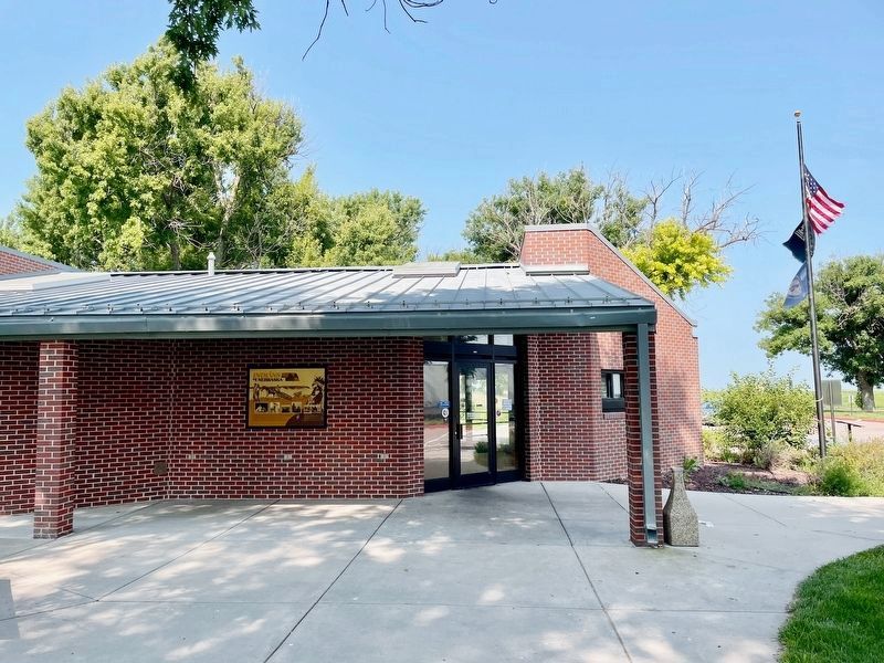
Photographed by Mark Hilton, July 11, 2024
2. Indians of Nebraska Marker under awning of Rest Area.
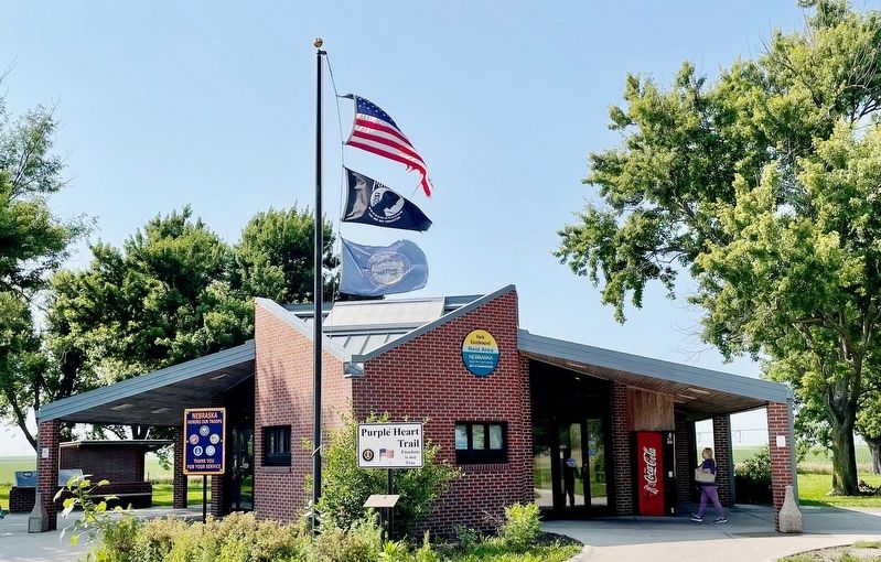
Photographed by Mark Hilton, July 11, 2024
3. Marker is on left side of Rest Area building.
Credits. This page was last revised on December 22, 2024. It was originally submitted on July 21, 2024, by Mark Hilton of Montgomery, Alabama. This page has been viewed 239 times since then and 37 times this year. Photos: 1, 2, 3. submitted on July 21, 2024, by Mark Hilton of Montgomery, Alabama.
