Parkland in Broward County, Florida — The American South (South Atlantic)
The Margate Blount Archaeological Site

Photographed by Tim Fillmon, June 27, 2024
1. The Margate Blount Archaeological Site Marker
The Native Americans who lived in the area were known as the Tequesta, who relied upon what they could find in the waterways of Florida and on coastal land for food.
Various archaeological digs were conducted in the late 20th century. This site is among Broward's most significant and has the largest number of prehistoric graves known in Broward County. In 1994, over 30 boxes of materials were excavated comprising dozens of artifacts.
Experts determined that occupation of the site occurred as early as 500 BC and continued through 1513, which means the site may have been in use for more than 2,000 years.
Erected by City of Parkland - Parkland Historical Society.
Topics. This historical marker is listed in these topic lists: Anthropology & Archaeology • Cemeteries & Burial Sites
this page online
Location. 26° 19.201′ N, 80° 16.417′ W. Marker is in Parkland, Florida, in Broward County. It is on Northwest Trails End 0.1 miles west of Pine Island Road, on the right when traveling east. Touch for map. Marker is at or near this postal address: 11051 Northwest Trails End, Pompano Beach FL 33076, United States of America. Touch for directions.

Regionally, this marker is in South Florida, on the Gold Coast, and in Greater Miami. It is also in the American South and on the Eastern Seaboard. Globally, it is in the North Atlantic Region, North America, a Gulf of Mexico state, the Western Hemisphere, the Western World, and the Anglosphere. Historically, it finds itself in what was once New Spain, the territory of the Mississippian Culture, one of the Confederate States of America, and the Antebellum South.
Other nearby markers. At least 8 other markers are within 4 miles of this marker, measured as the crow flies: A different marker also named Margate Blount Archaeological Site (a few steps from this marker);
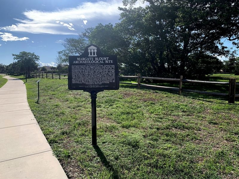
Photographed by Tim Fillmon, June 27, 2024
2. The Margate Blount Archaeological Site Marker
in the background behind the state marker.
Also see . . . Margate Blount Site - Parkland. (Submitted on August 4, 2024, by Tim Fillmon of Webster, Florida.)
Credits. This page was last revised on November 27, 2024. It was originally submitted on August 4, 2024, by Tim Fillmon of Webster, Florida. This page has been viewed 298 times since then and 47 times this year. Photos: 1, 2. submitted on August 4, 2024, by Tim Fillmon of Webster, Florida.
