Near Terry in Prairie County, Montana — The American West (Mountains)
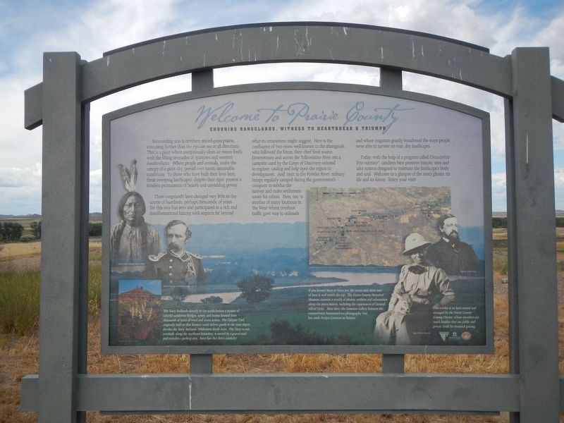
Welcome to Prairie County
Enduring Rangelands, Witness to Heartbreak & Triumph
Photographed by Barry Swackhamer, July 2024
1. Welcome to Prairie County Marker
Captions: (bottom left) Sitting Bull, Unkpapa Sioux Chief; General George Armstrong Custer; The Terry Badlands directly to the north feature a mosaic of colorful sandstone bridges, spires, and buttes from thousands of years of wind and water action. The Calypso Trail, originally built so the farmers could deliver goods to the trail depot, divides the Terry Badlands Wilderness Study Area. The Terry scenic overlook, along the northeast boundary, is served by a gravel road and includes a parking area. Have fun-but drive carefully.; (lower center) If you haven't been to Terry yet, the seven mile drive east of here is well worth the trip. The Prairie County Historical Museum contains a wealth of photos, artifacts and information about the area's history, including experiences of General Alfred Terry. Next door, the Cameron Gallery features the extraordinary homestead era photography that has made Evelyn Cameron so famous.; (bottom right) Lady Evelyn Cameron; General Alfred Terry.
These rangelands have changed very little in the course of hundreds, perhaps thousands, of years. Yet this area has seen and participated in a rich and transformational history with impacts far beyond what its remoteness might suggest. Here is the confluence of two rivers well-known to the aboriginals who followed the bison, their chief food source. Downstream and across the Yellowstone River sits a campsite used by the Corps of Discovery enlisted to explore, catalog and help open the region to development. And, next to the Powder River, military troops regularly camped during the government's conquest to subdue the natives and make settlement
this page online
Today, with the help of a program called Undaunted Stewardship, ranchers here preserve historic sites and take actions designed to maintain the landscape's body and soul. Welcome to a glimpse of the area's ghosts, its life and its future. Enjoy your visit!
Erected by Bureau of Land Management, Montana Stock Growers Assc., Montana State University.
Topics and series. This historical marker is listed in these topic lists: Agriculture • Exploration • Natural Features • Wars, US Indian. In addition, it is included in the Lewis & Clark Expedition series list.
Location. 46° 43.821′ N, 105° 26.094′ W. Marker is near Terry, Montana, in Prairie County. It is on Old Highway 10 near Powder River Road, on the right when traveling west. Touch for map. Marker is in this post office area: Terry MT 59349, United States of America. Touch for directions.

Regionally,
Photographed by Barry Swackhamer, July 2024
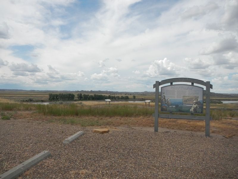
2. Welcome to Prairie County Marker
Other nearby markers. At least 8 other markers are within 8 miles of this marker, measured as the crow flies: Buffalo Hunters (here, next to this marker); Here Come the Immigrants! (within shouting distance of this marker); Military Camp (within shouting distance of this marker); Father DeSmet - Sitting Bull Council (within shouting distance of this marker); The Powder River (approx. ¾ mile away); Milwaukee Railroad (approx. 5 miles away); C. W. "Prof" Grandey School (approx. 7.3 miles away); Prairie County (approx. 7.6 miles away). Touch for a list and map of all markers in Terry.
Photographed by Barry Swackhamer, July 2024
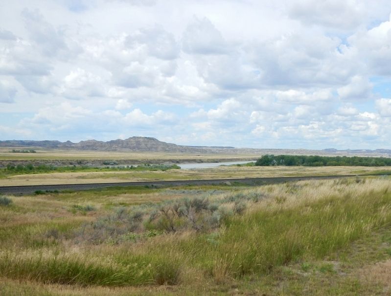
3. As Far As The Eye Can See
Credits. This page was last revised on August 9, 2024. It was originally submitted on August 9, 2024, by Barry Swackhamer of Brentwood, California. This page has been viewed 154 times since then and 37 times this year. Photos: 1, 2, 3. submitted on August 9, 2024, by Barry Swackhamer of Brentwood, California.
